maps
Select areas in French Southern Territories
4 district
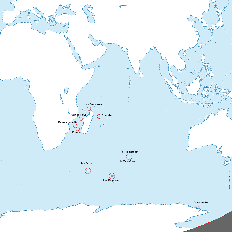
Crozet Islands, Ile Saint-Paul et Ile Amsterdam, Iles Eparses, Kerguelen,maps
Select areas in French Southern Territories
4 district
Crozet Islands, Ile Saint-Paul et Ile Amsterdam, Iles Eparses, Kerguelen, Algeria
 Angola
 Benin
Benin Botswana
 British Indian Ocean Territory
 Burkina Faso
 Burundi
 Cameroon
 Cape Verde
 Central African
 Chad
Chad Comoros
 Cote d'Ivoire
 Djibouti
 Egypt
Egypt Equatorial Guinea
 Eritrea
 Ethiopia
 Gabon
Gabon Gambia
 Ghana
Ghana Guinea
 Guinea-Bissau
 Kenya
Kenya Kingdom of Eswatini ex-Swaziland
 Lesotho
 Liberia
 Libya
Libya Madagascar
 Malawi
 Mali
Mali Mauritania
 Mauritius
 Mayotte
 Morocco
 Mozambique
 Namibia
 Niger
Niger Nigeria
 Republic of the Congo
 Réunion
 Rwanda
 Saint Helena
 Sao Tome and Principe
 Senegal
 Seychelles
 Sierra Leone
 Somalia
 South Africa
 South Sudan
 Sudan
Sudan The Democratic Republic Of The Congo
 Togo
Togo Tunisia
 Uganda
 United Republic Of Tanzania
 Western Sahara
 Zambia
 Zimbabwe