maps
Select areas in United Kingdom
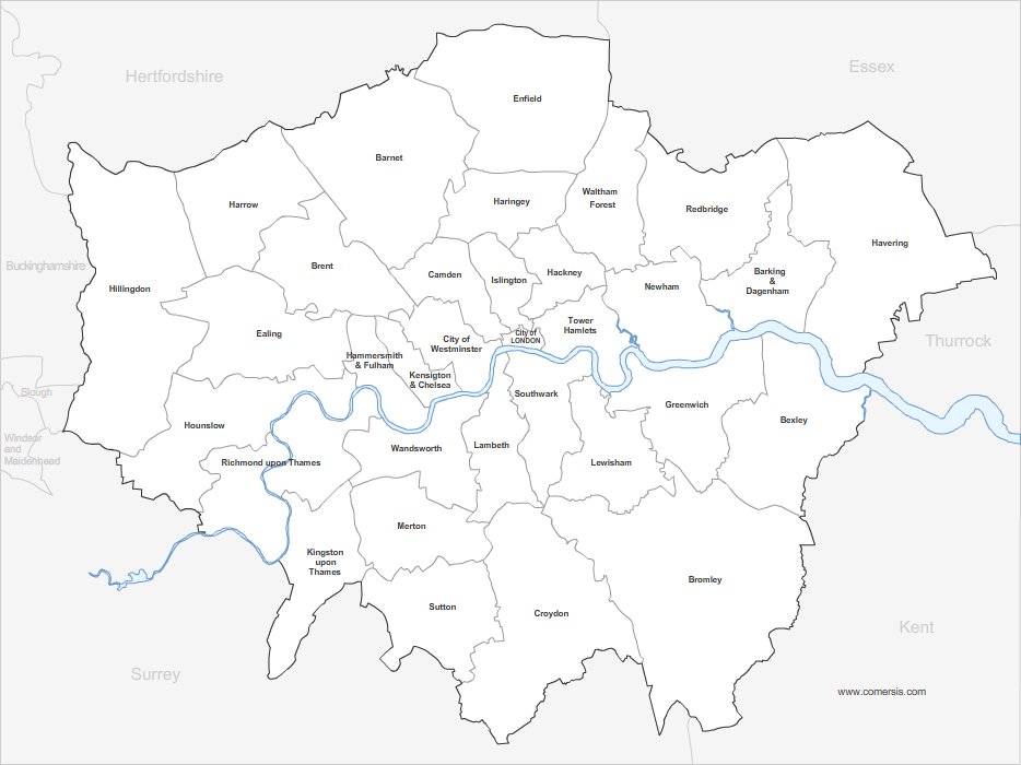
Vector map of London bouroughs in Illustrator, Powerpoint and Jpeg HD.
Free to download.
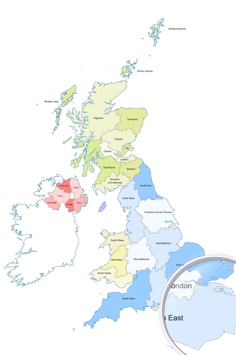
editable map of the regions of Great Britain, with Scotland and Northern Ireland.
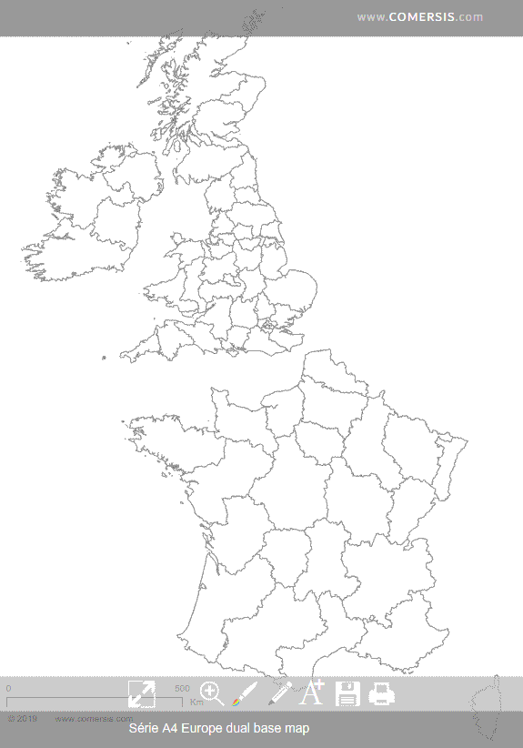
Customizable base map of United Kingdom and France administrative divisions.
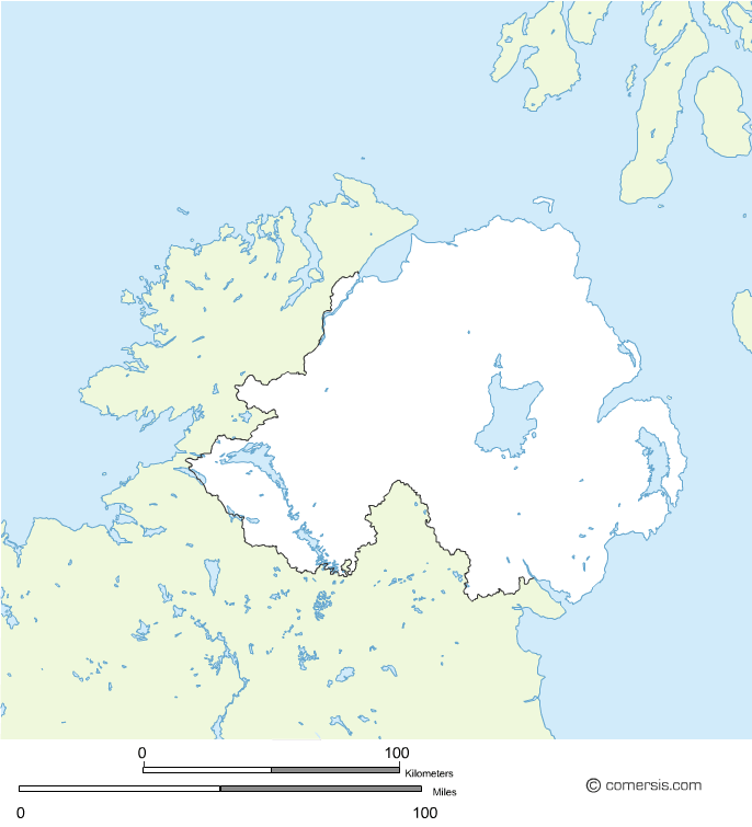
Changeable background map of Northern Ireland in the UK.
Free download.
Outline vector map of England, Scotland and Irland in EPS and SVG format.
Free download.
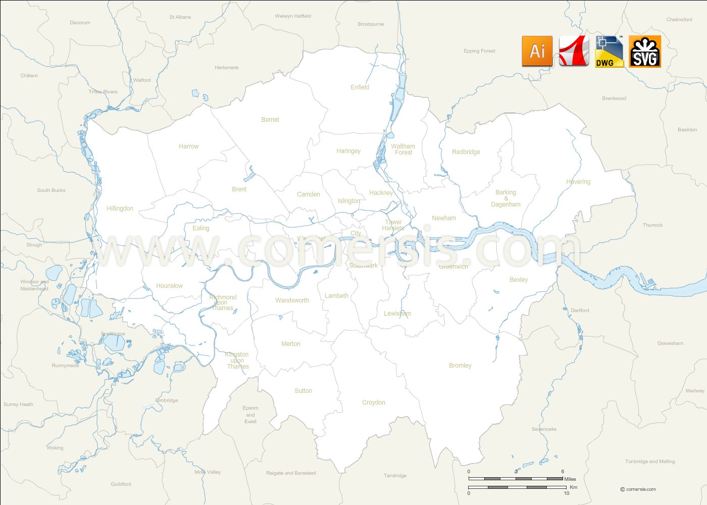
Editable map of Greater London borough with names and neighboring districts.
Files in Illustrator Ai, Svg, Autocad DWG and Acrobat Pdf.


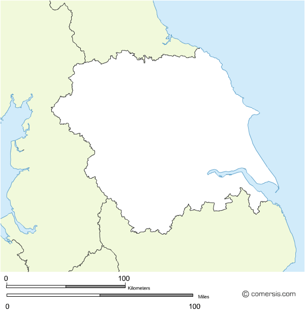


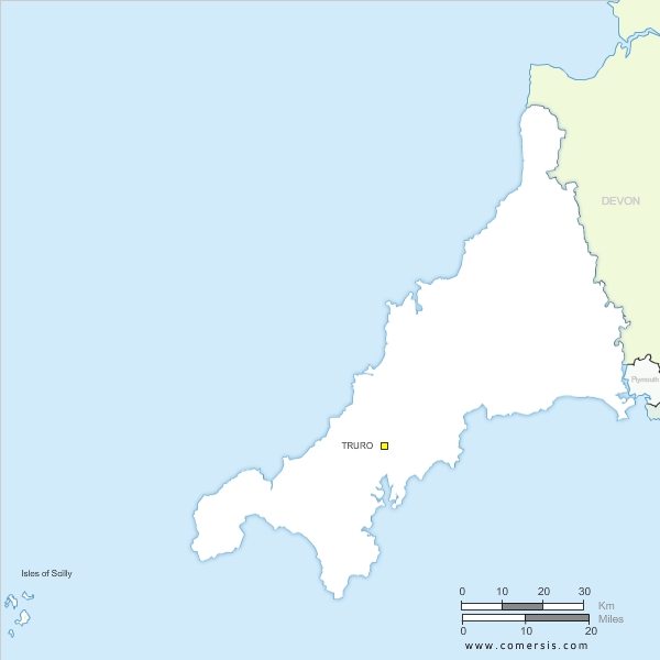
Blank map of Cornwall county in England. EPS and SVG vector file free to download and use.
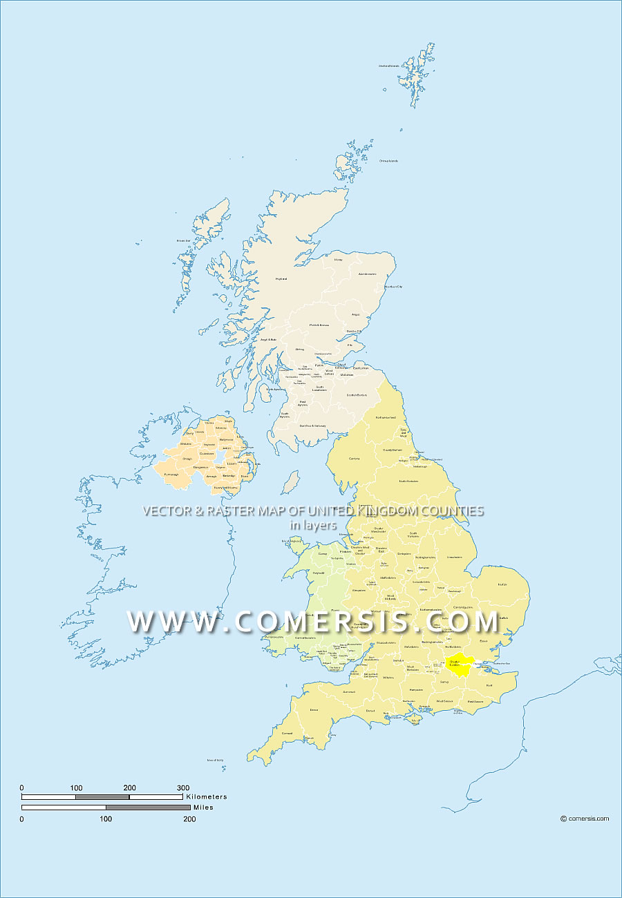
Editable map of the regions and counties of the United Kingdom with the name layered EPS and PDF Acrobat.
This map shows the counties of England, Wales, Scotland and Northern Ireland.
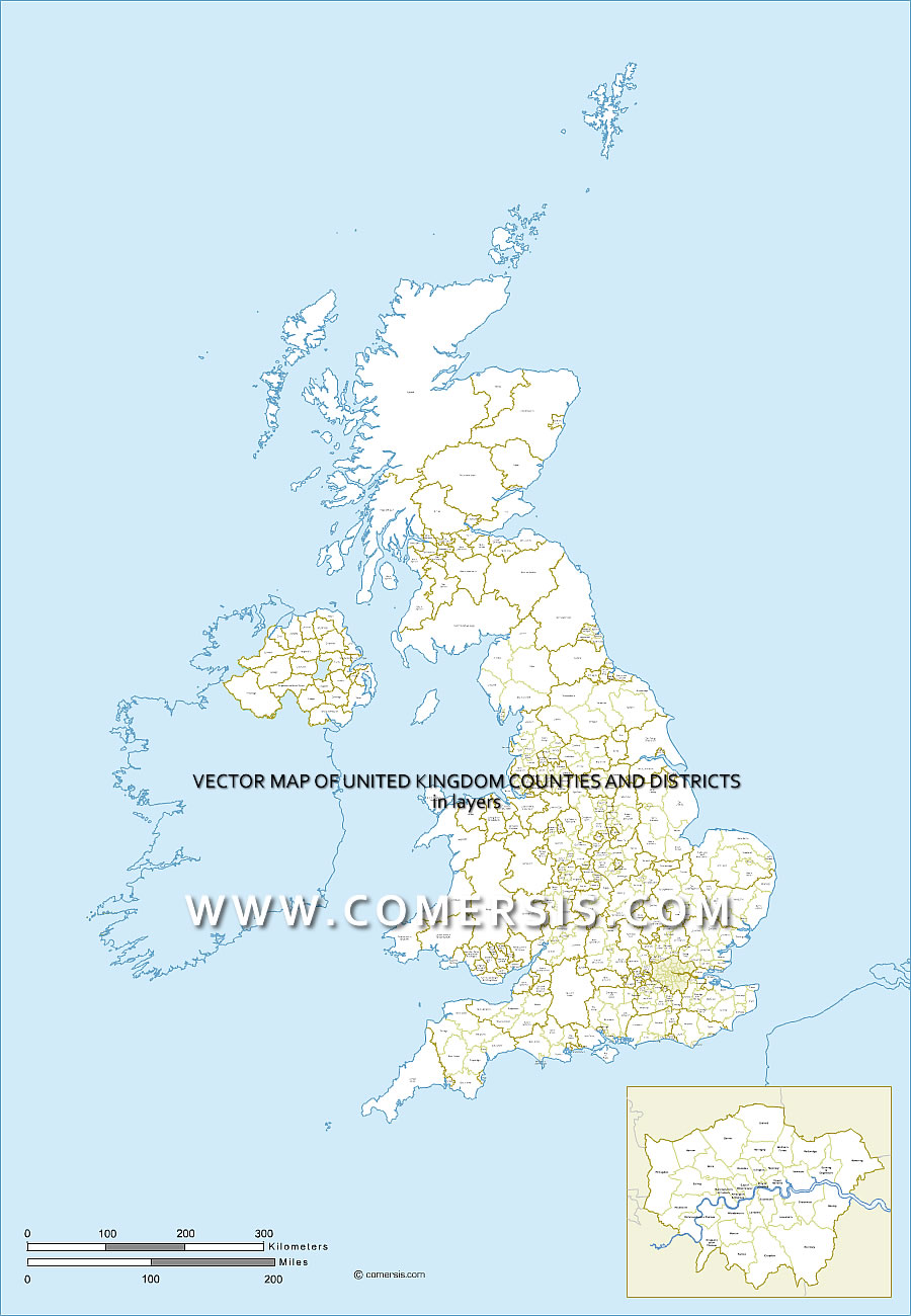
Map layered of Great Britain counties and districts . Eps vector formats and Acrobat PDF.
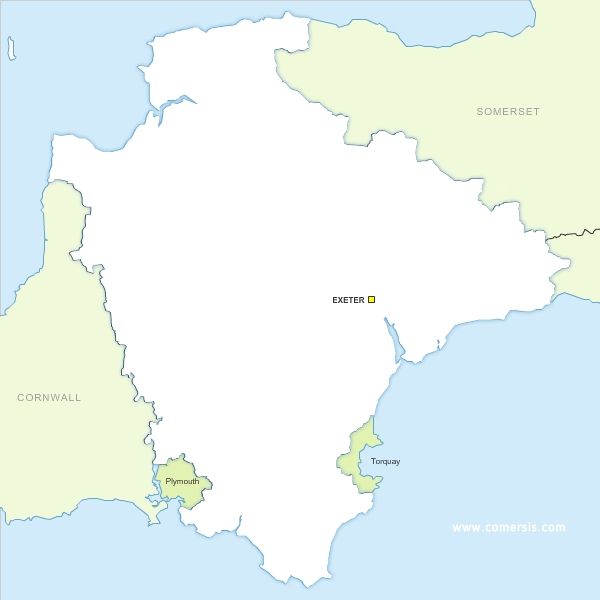
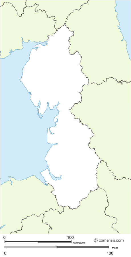
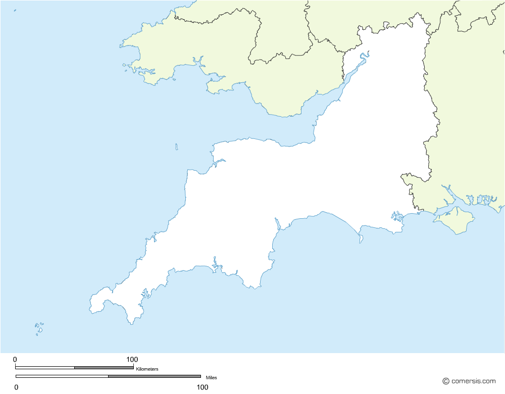
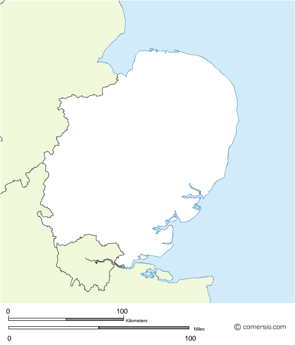
Vector Eps and SVG map of South England Devon county .
Free to download.
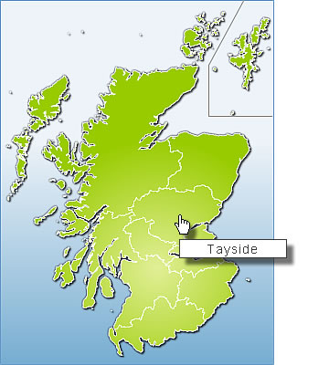
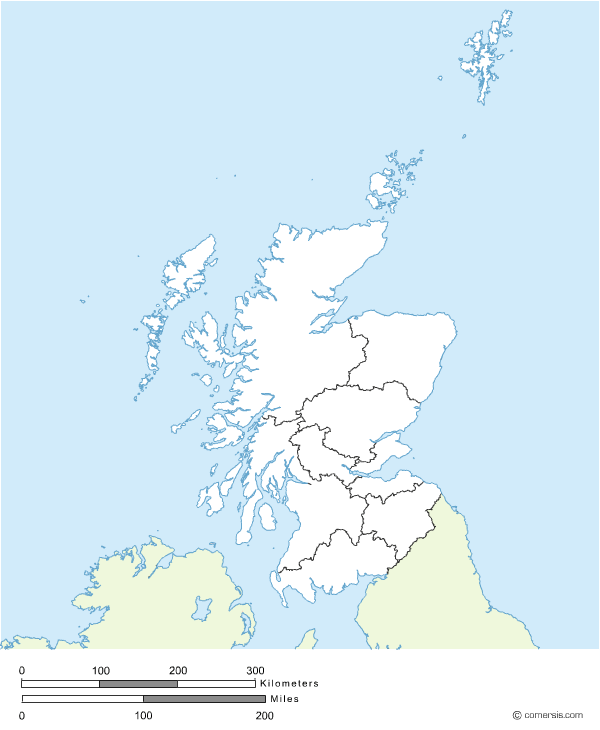
Clickable map of Scotland ready for use, installation by simply copying and pasting.
Two different images (one is transparent).
Each area can be linked to a different page or script.
Source image file supplied (Illustrator).
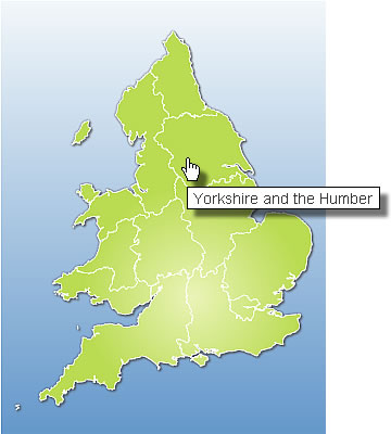
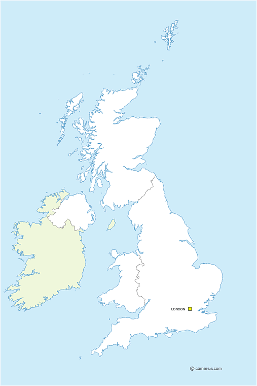
Clickable map ready for use of England, installation by simply copying and pasting.
Two different images (one is transparent).
Source image file supplied in Illustrator.

Editable vector map of Greater London roads in layers.
Delivery to format(s) of your choice.

Editable map of the regions and counties of the United Kingdom with the name layered for Photoshop.
This map shows the counties of England, Wales, Scotland and Northern Ireland.
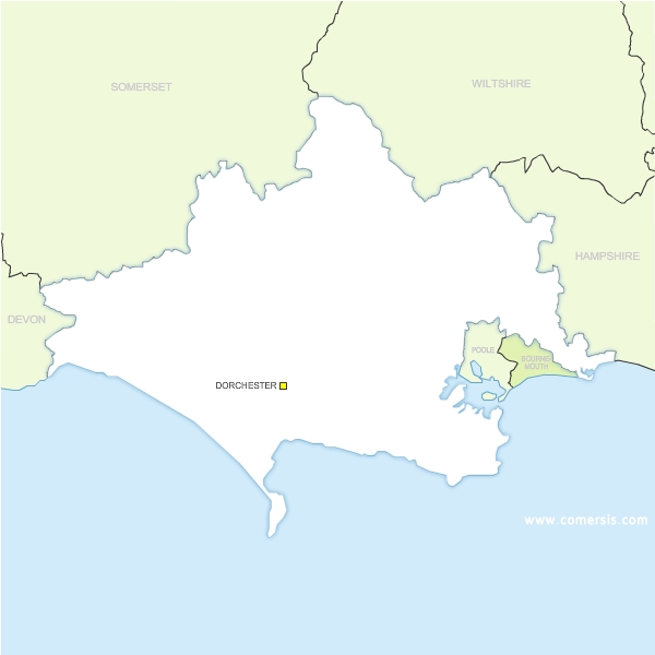
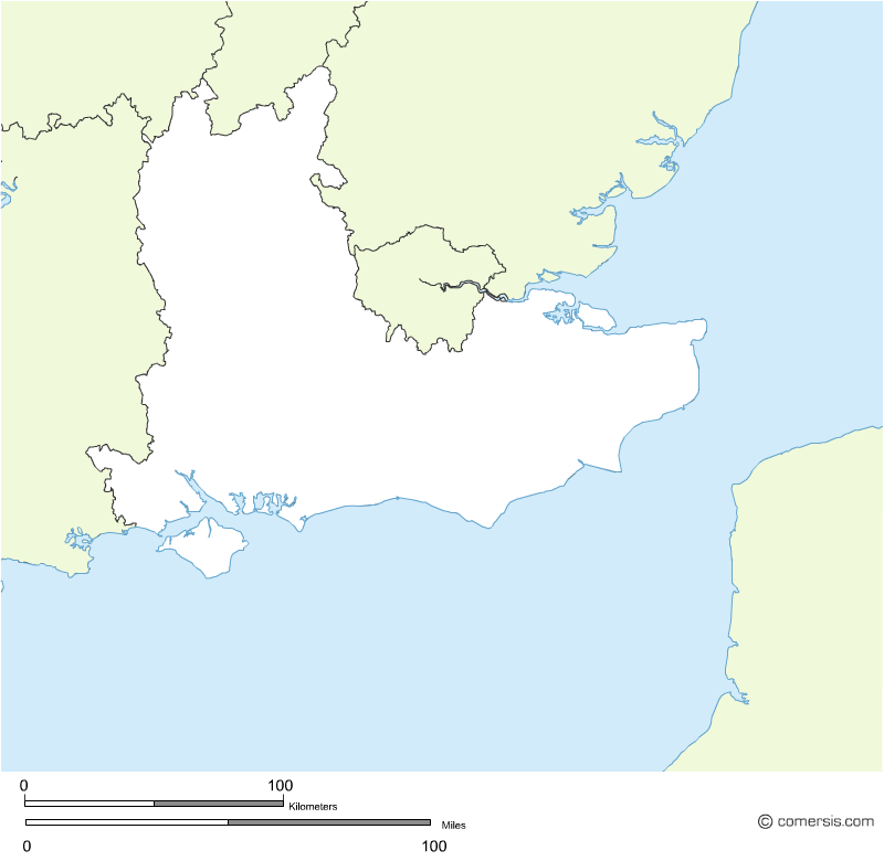
Free vector map of Dorset county.
Eps and SVG map files.
Free to download.
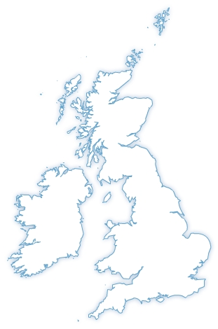
Map of the United Kingdom :
- EMF and WMF file (free)
- Illustrator and Flash file (fee required)
 Åland Islands
 Albania
 Andorra
 Austria
 Belarus
 Belgium
 Bosnia and Herzegovina
 Bulgaria
 Croatia
 Cyprus
 Czech Republic
 Denmark
 Estonia
 Faroe Islands
 Finland
 France
 Germany
 Gibraltar
 Greece
 Hungary
 Iceland
 Ireland
 Isle of Man
 Italy
Italy Kosovo
 Latvia
 Liechtenstein
 Lithuania
 Luxembourg
 Malta
Malta Moldova
 Monaco
 Montenegro
 Netherlands
 Norway
 Poland
 Portugal
 Romania
 San Marino
 Serbia
 Slovakia
 Slovenia
 Spain
Spain Svalbard and Jan Mayen
 Sweden
 Switzerland
 The Former Yugoslav Republic of Macedonia
 Ukraine
 Vatican City State