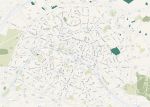
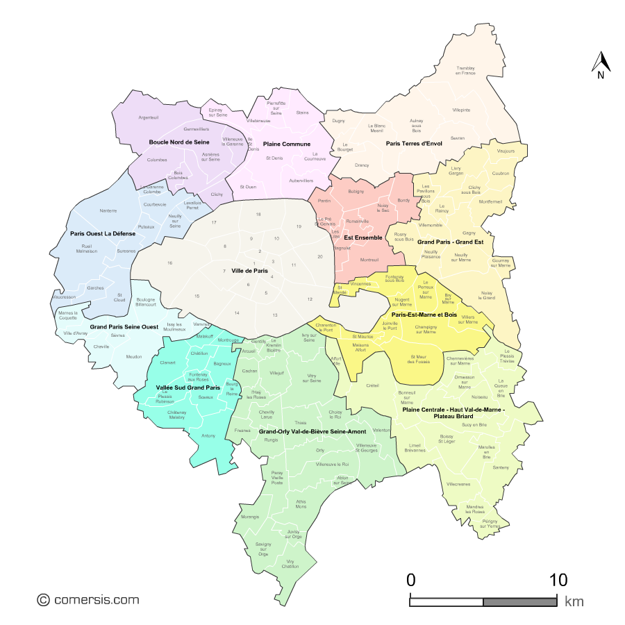
Since 1 January 2016, the Grand Paris covers all the municipalities of the small crown and 7 communes of the outer suburbs. These towns are divided into 11 territorial public institutions:
 click on the map to enlarge
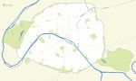
The files contained in this download
 Editable Map of municipalities of Greater Paris grouped by territorial public institution
 Illustrator Map of municipalities of Greater Paris grouped by territorial public institution
 Svg Map of municipalities of Greater Paris grouped by territorial public institution
 Pdf Map of municipalities of Greater Paris grouped by territorial public institution
 Excel Map of municipalities of Greater Paris grouped by territorial public institution
 Powerpoint Map of municipalities of Greater Paris grouped by territorial public institution
 Word Map of municipalities of Greater Paris grouped by territorial public institution
 Photoshop Map of municipalities of Greater Paris grouped by territorial public institution
 Jpg Map of municipalities of Greater Paris grouped by territorial public institution