click on the map to enlarge
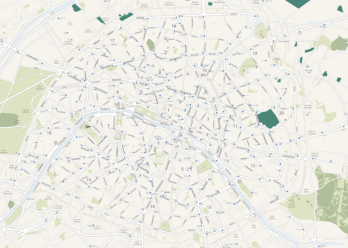
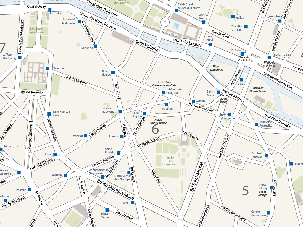
The map of major Parisian axes contains the main avenues, boulevards, quays and main streets of the city with their names.
The Illustrator map of the main avenues and boulevards of Paris is made up of 15 vector layers:
- Subway stations with name.
- Name of the gates of Paris, Clichy, Saint-Ouen, Clignancourt...
- Name of the main squares, Place de la Concorde, Place de la Madeleine, Place Vendôme...
- Name of parks and gardens.
- Names of avenues, quays, boulevards and main streets.
- Remarkable buildings.
- District numbers.
- Outlines of the boroughs.
- Routes.
- Device path.
- Wood.
- Cemeteries.
- Parks and gardens.
- Hydrography.
This download contains the map of Paris in 4 different file formats : Illustrator, Eps, Svg, Pdf,
tags Paris,main,axes,map,vector
 Editable
 Illustrator
 Eps
Eps Svg
Svg Pdf
Pdf