maps
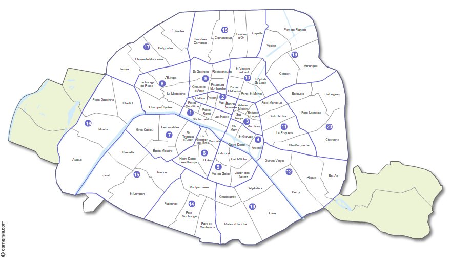
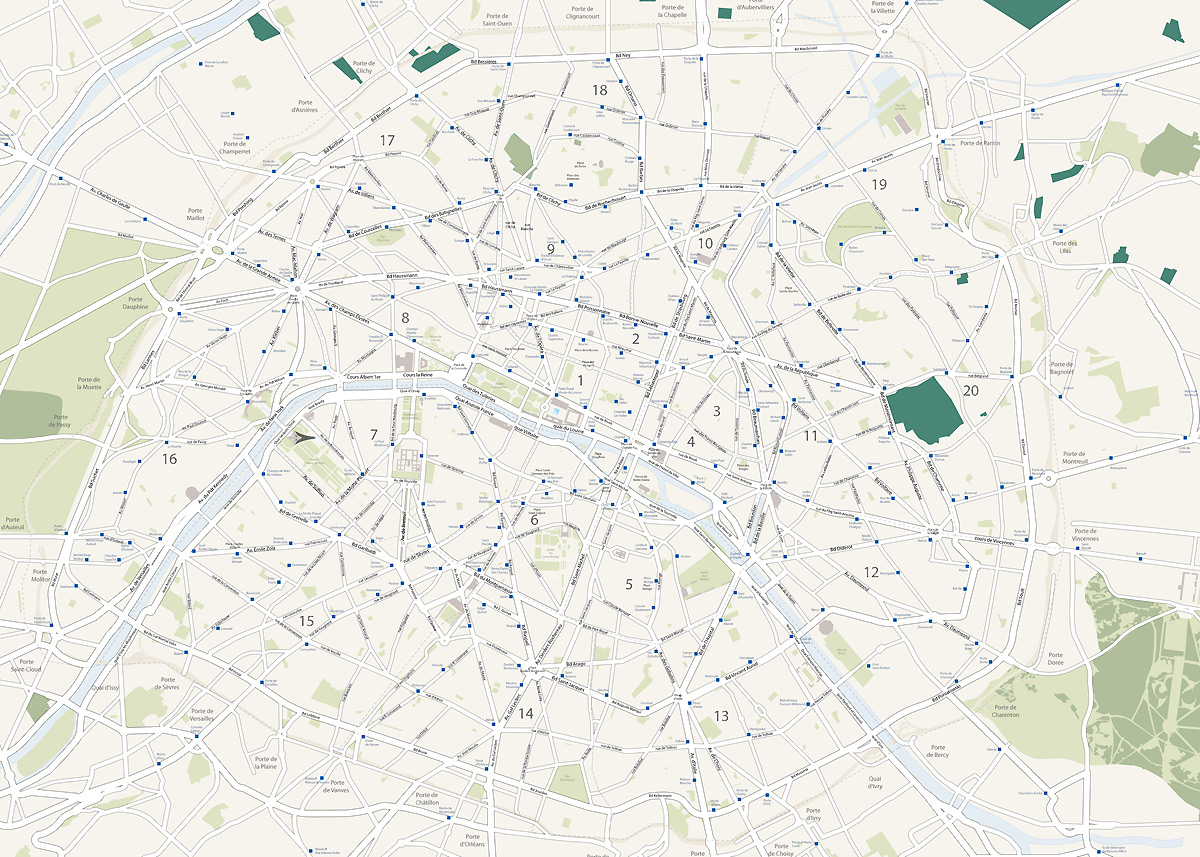
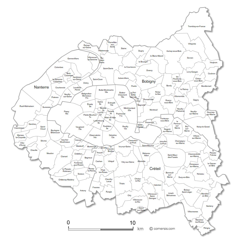
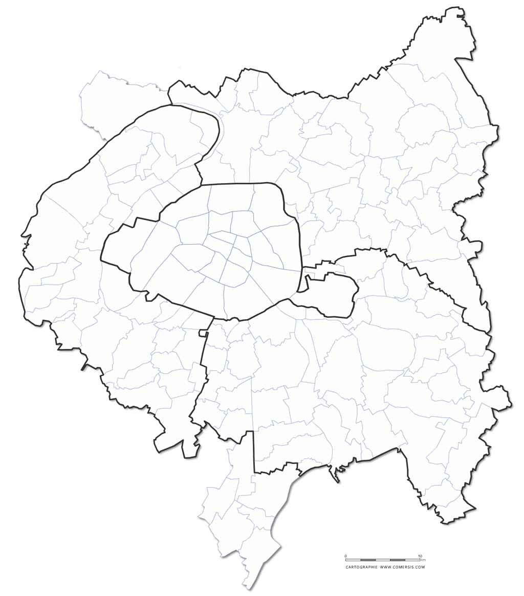
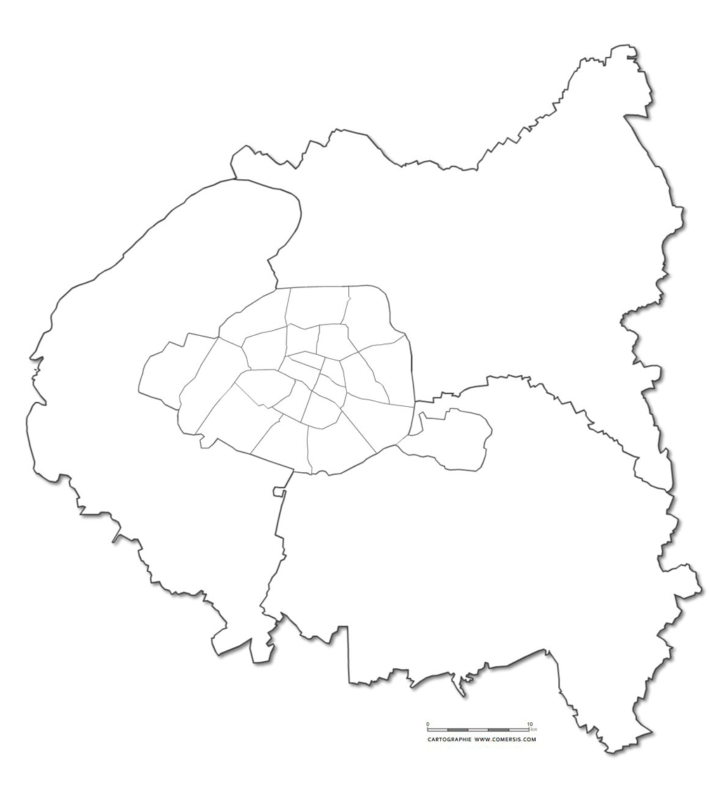
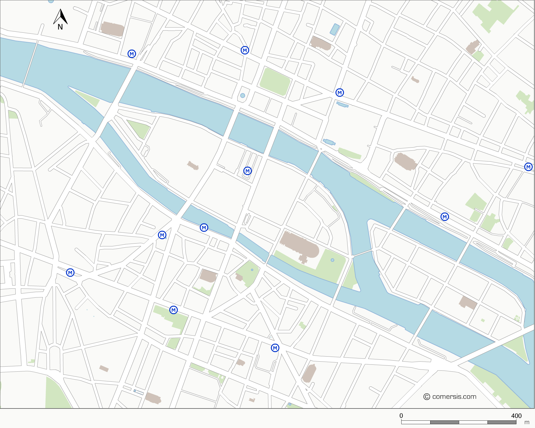
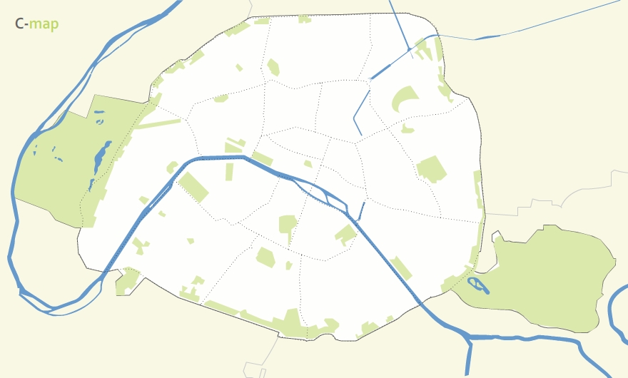
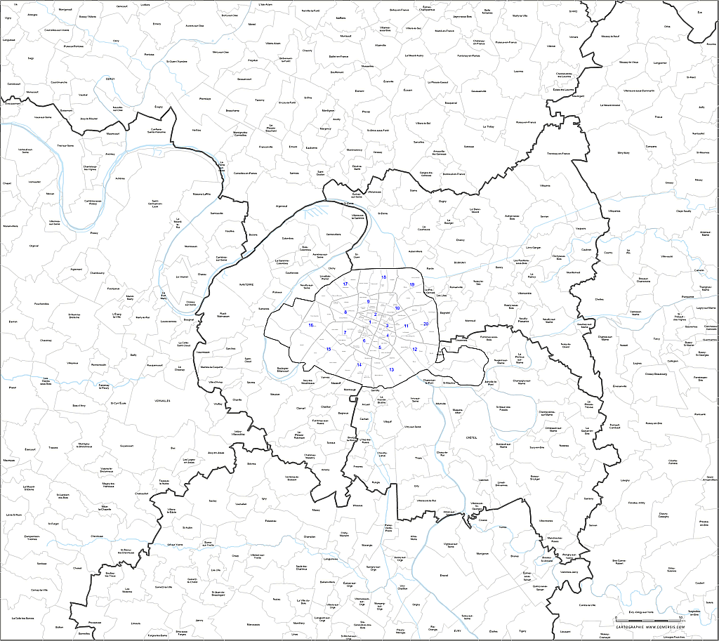
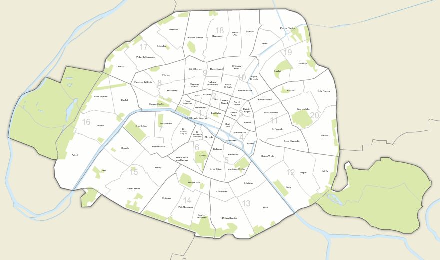
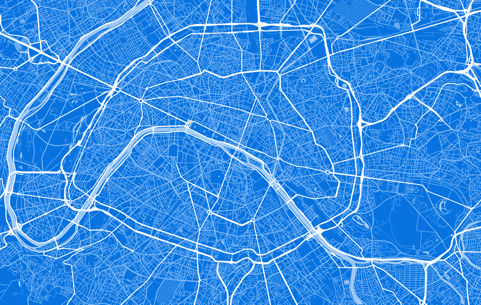
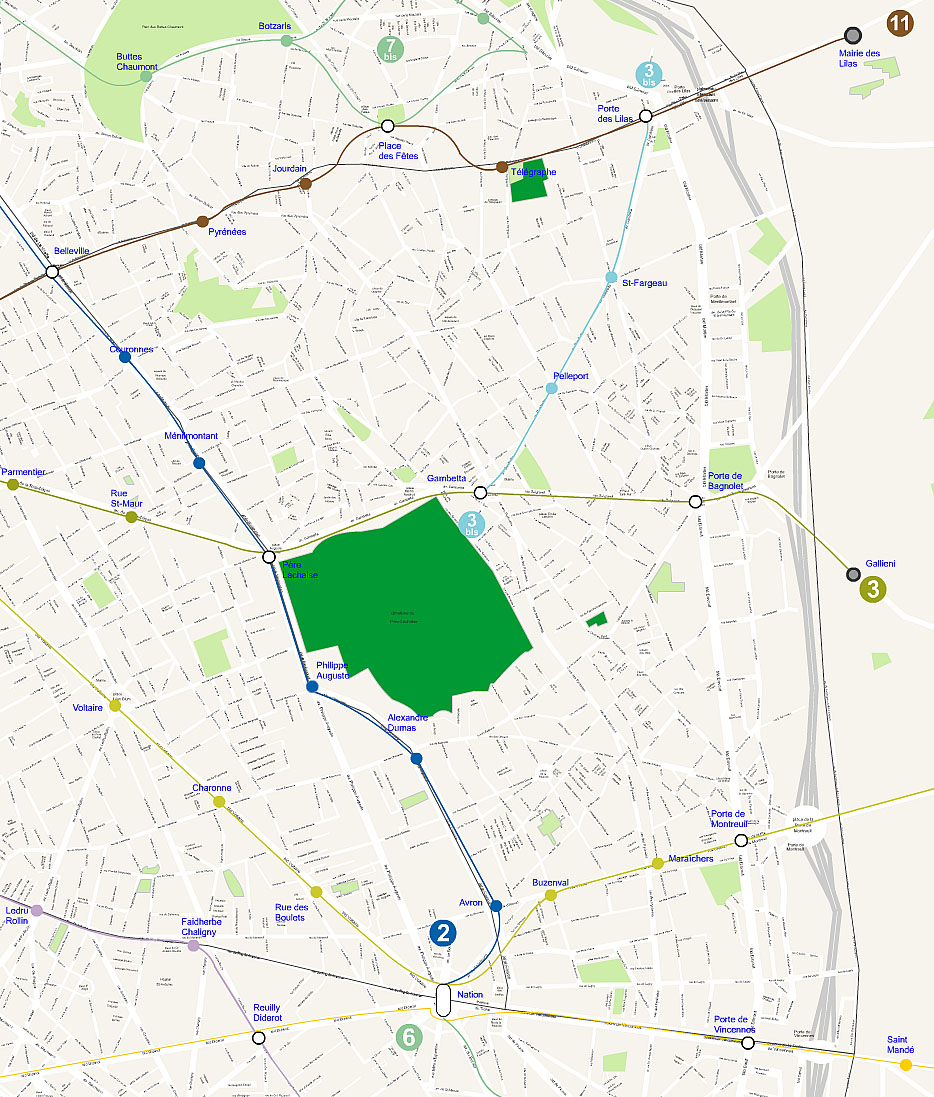
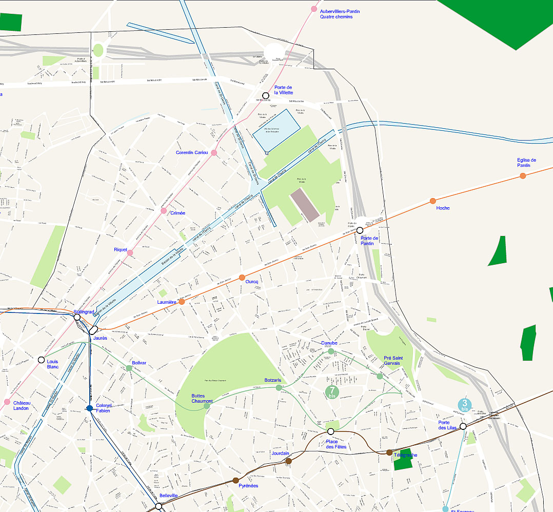
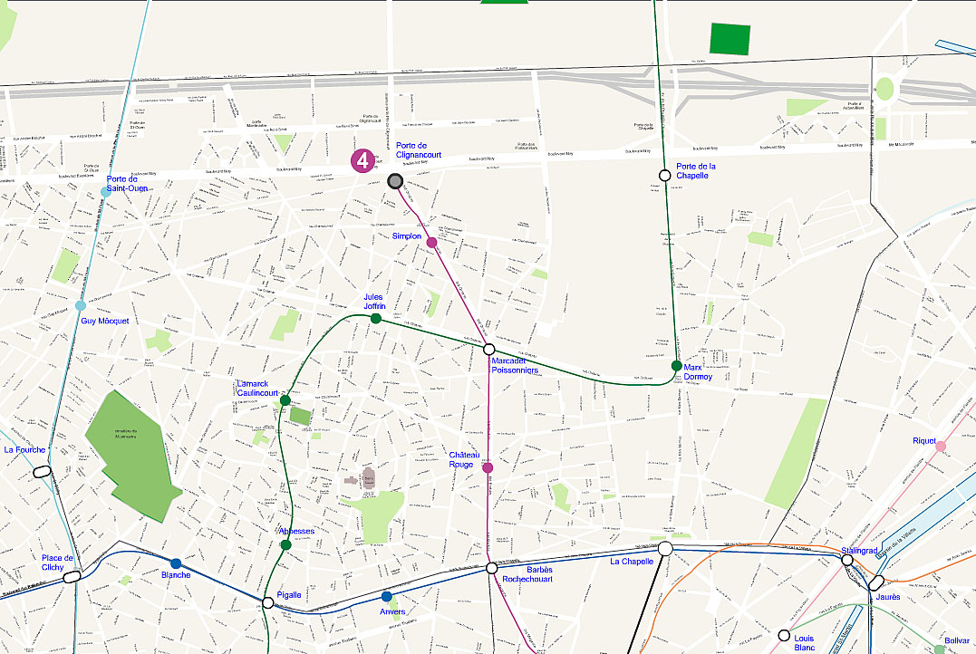
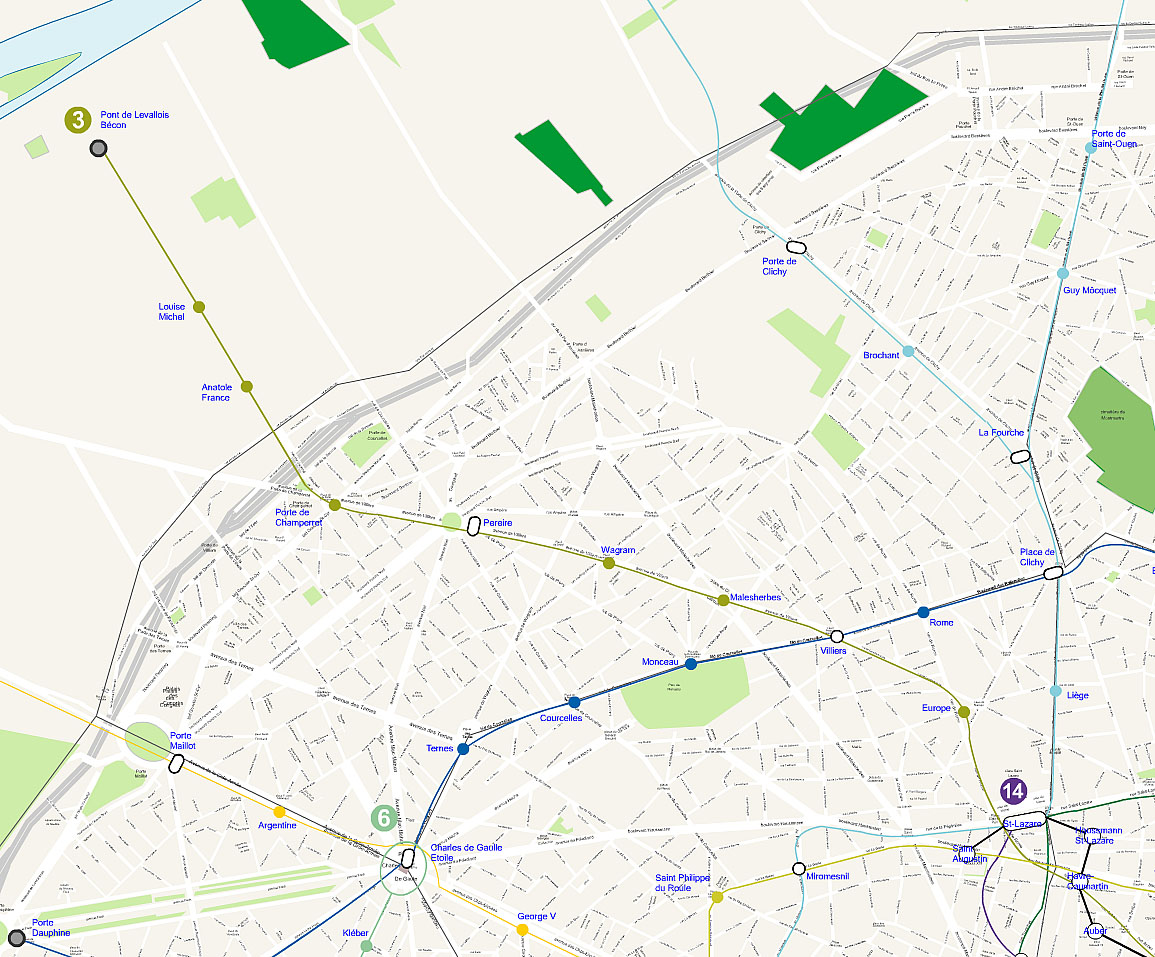
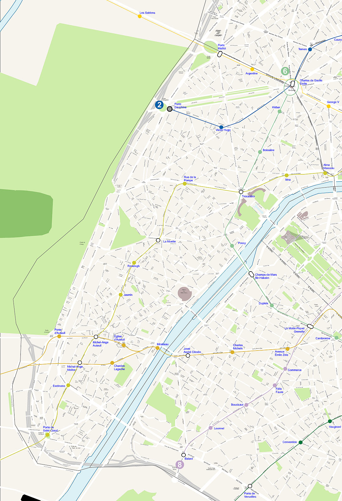
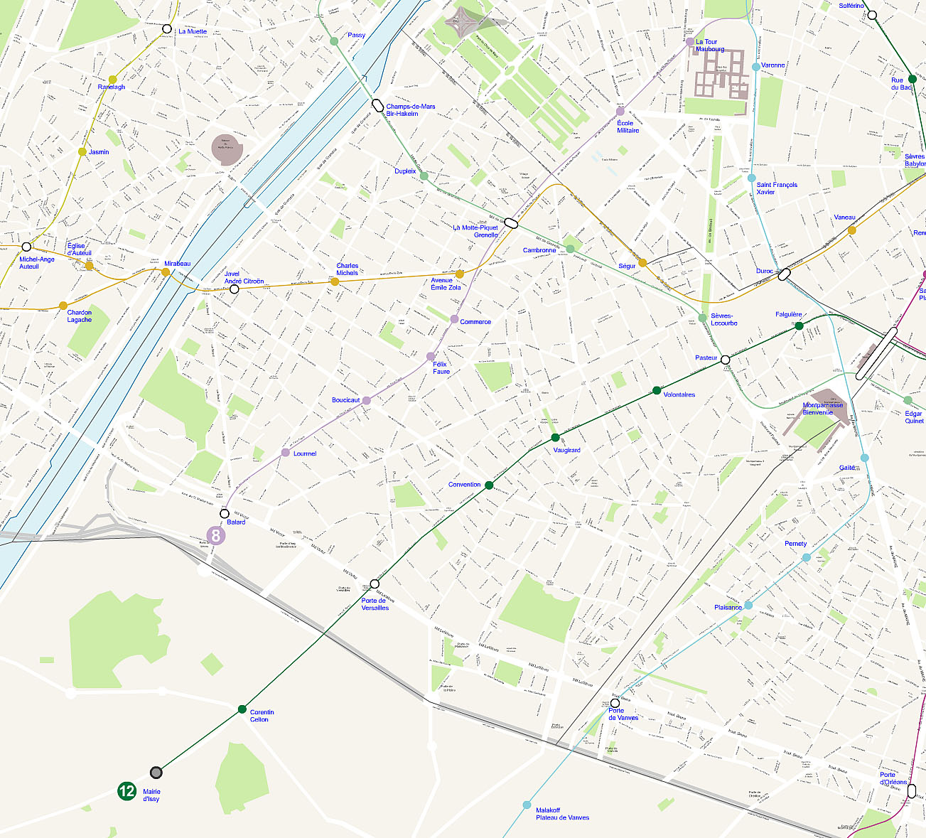
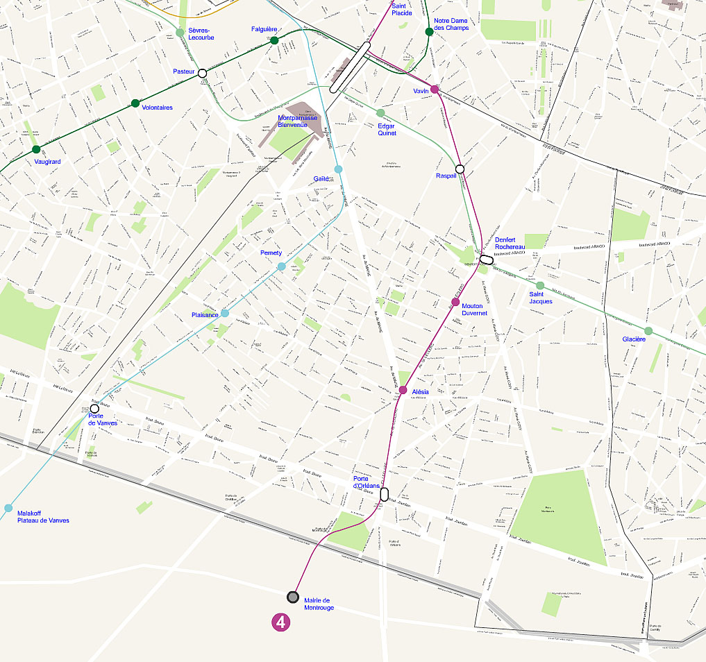
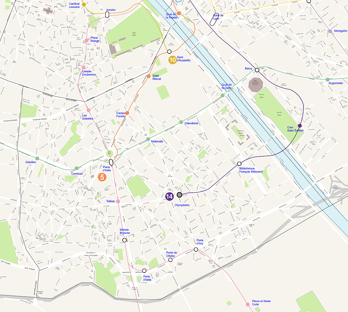
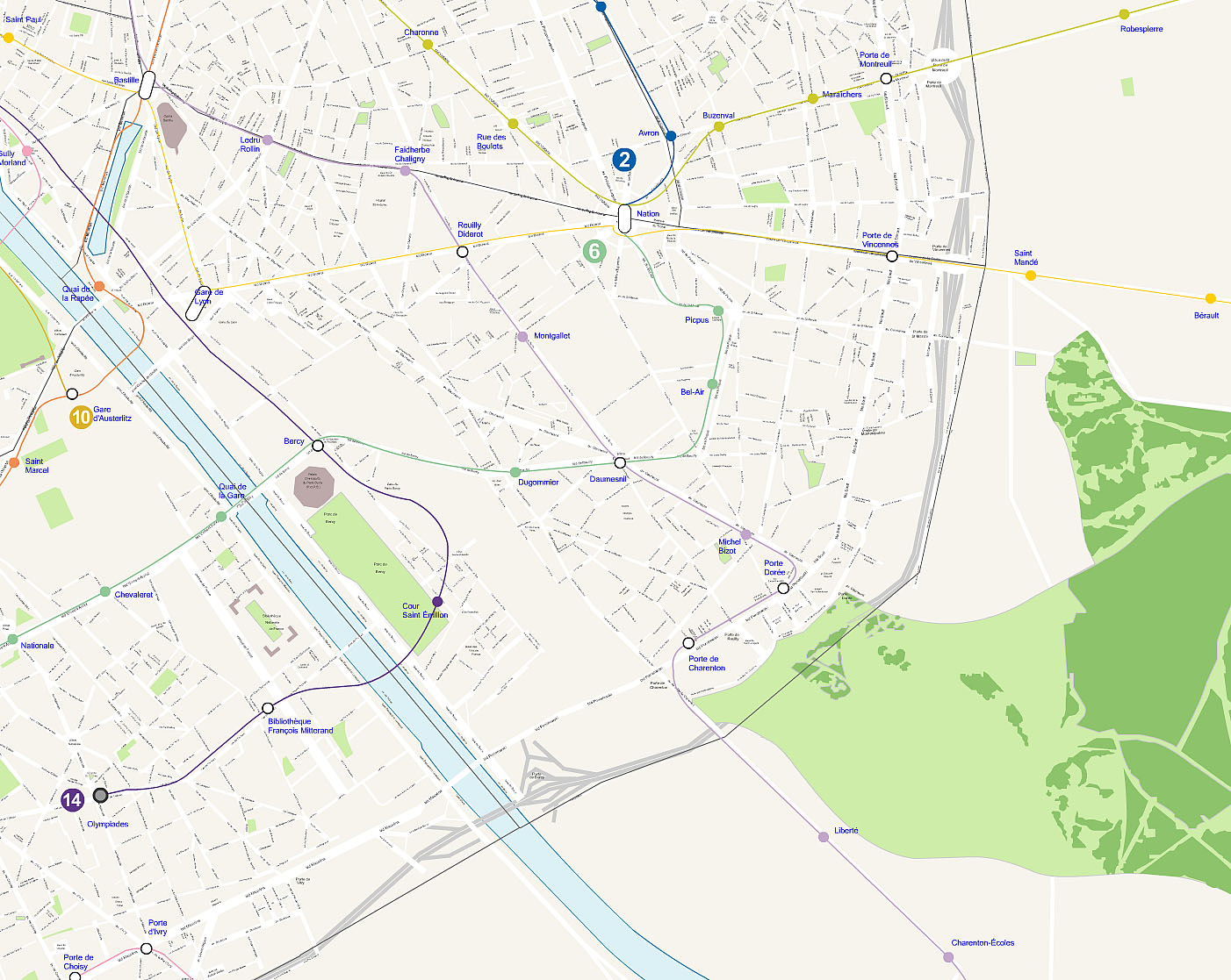
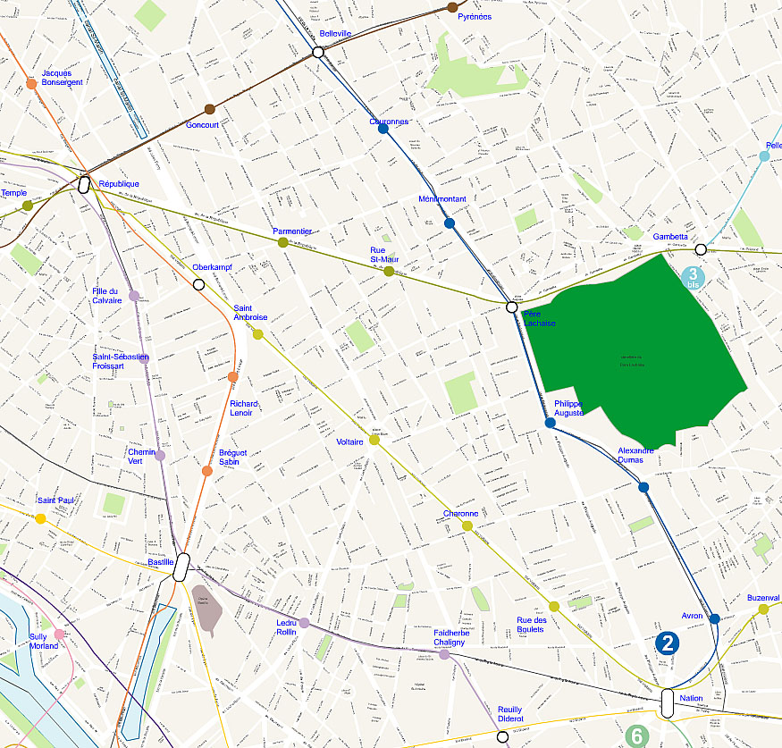
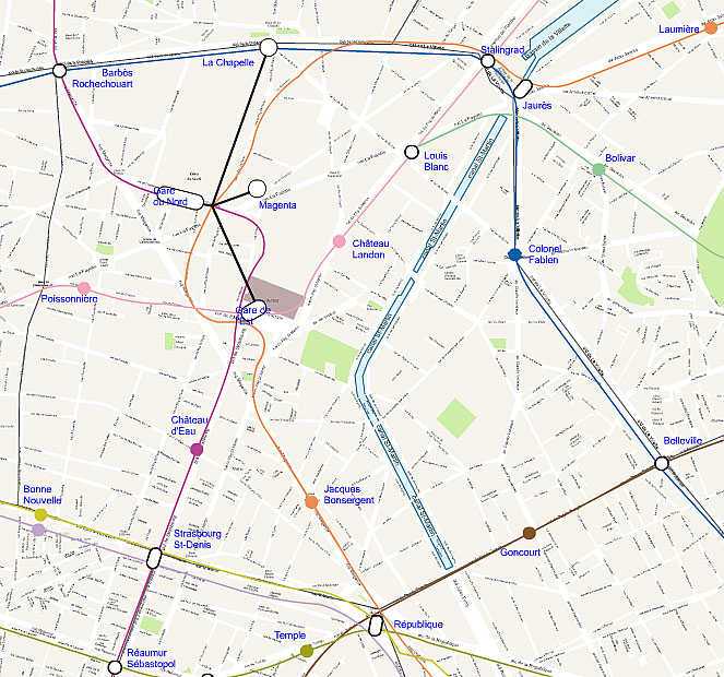
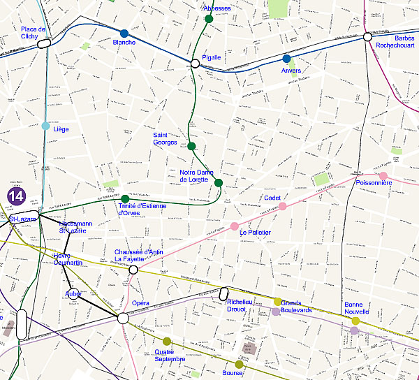
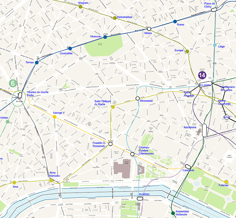
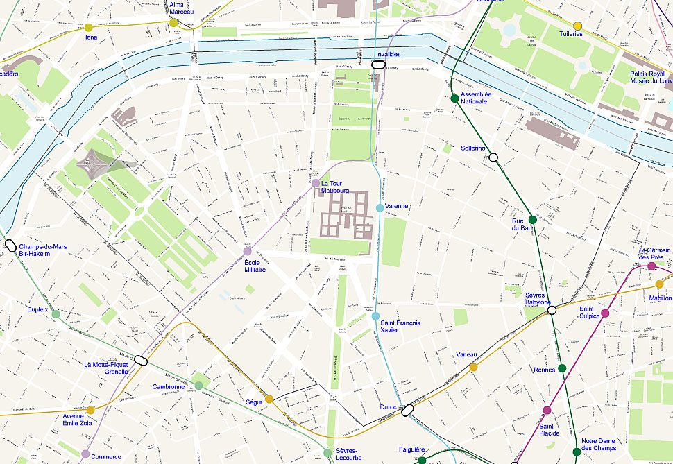
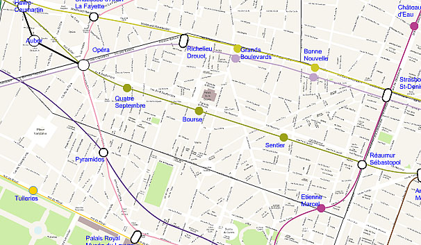
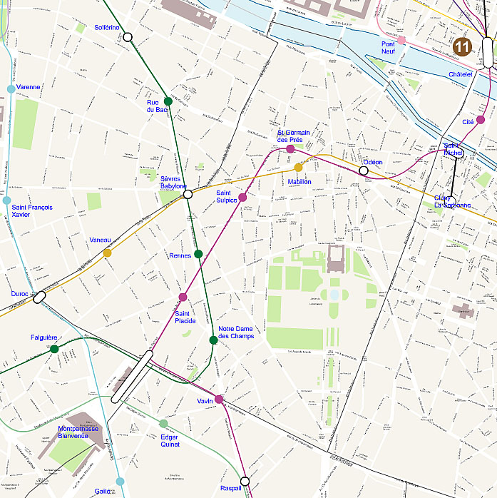
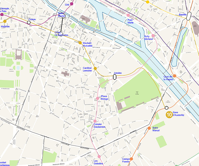
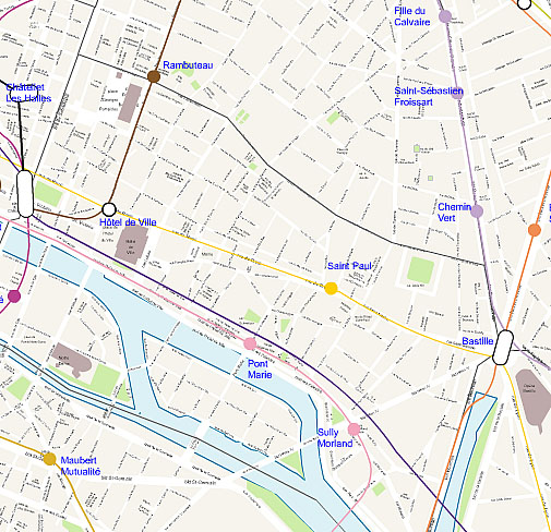
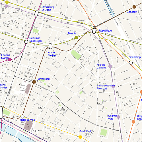
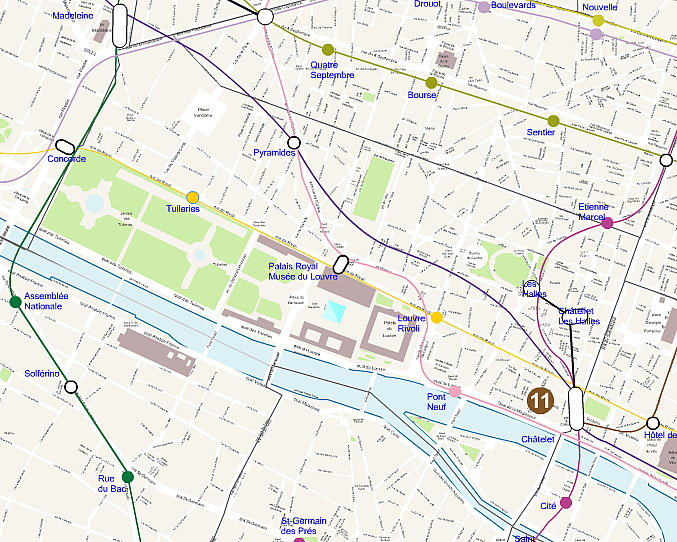
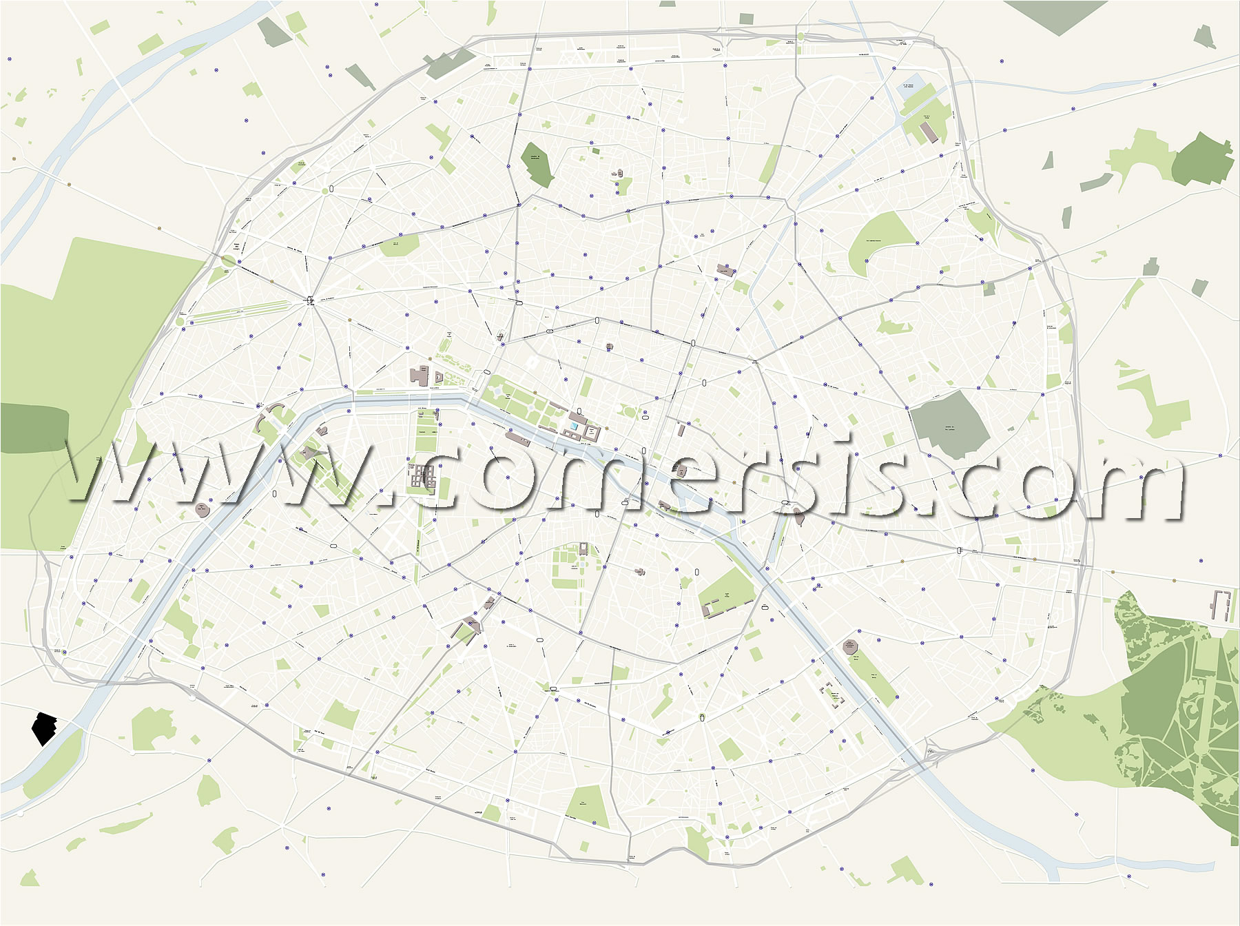
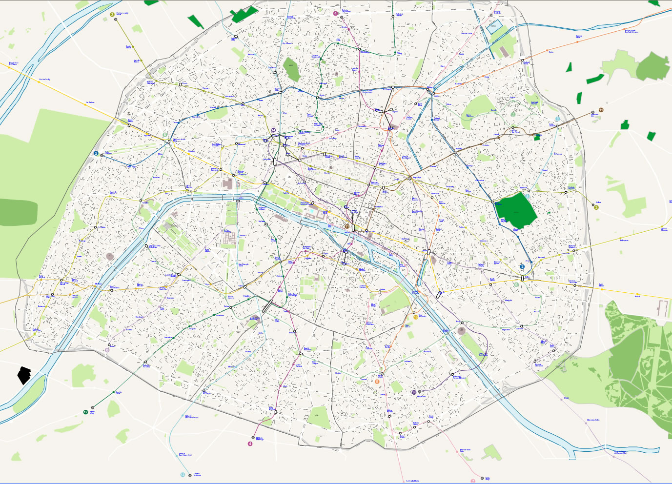
Select areas in Paris
Essonne
Hauts-de-Seine
Seine-et-Marne
Seine-Saint-Denis
Val-d'Oise
Val-de-Marne
Yvelines
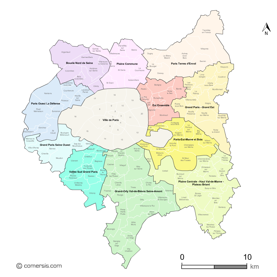

 Essonne