click on the map to enlarge
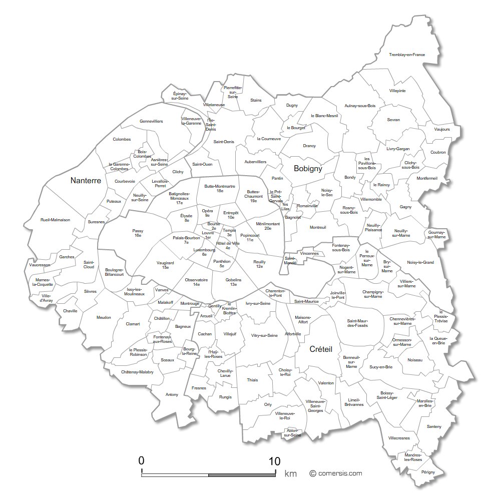
Customizable base map of the inner suburbs of Paris with municipalities names.
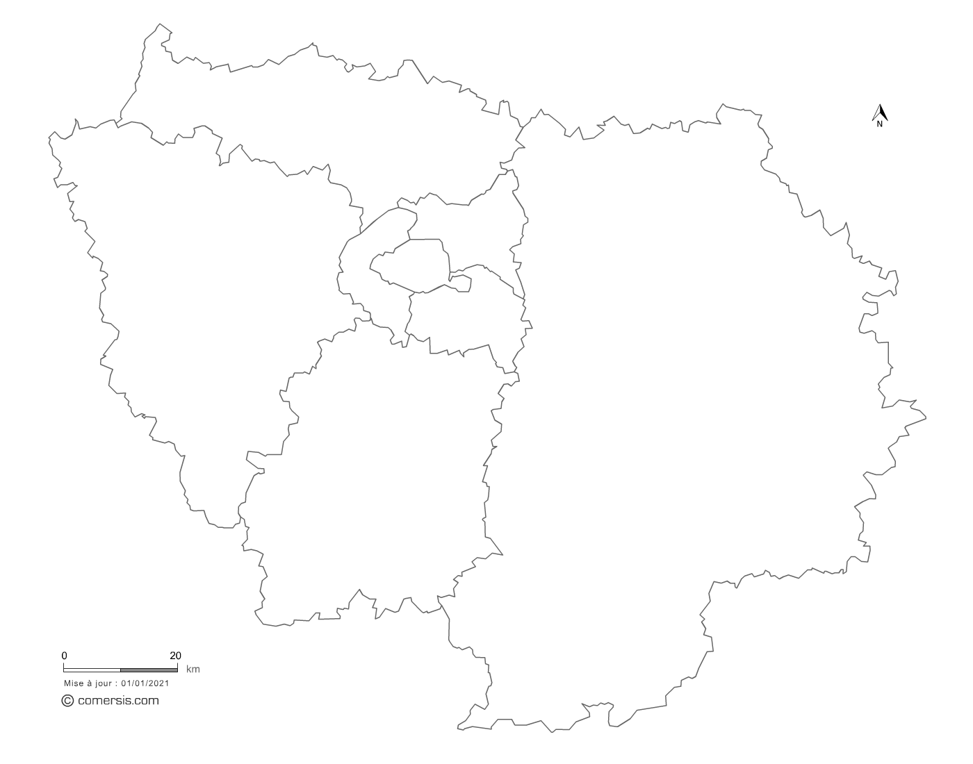
The map of cities bordering Paris contains all the cities and towns of the departments of Hauts-de-Seine (92), Seine-Saint-Denis (93) and Val-de-Marne (94). That is 123 municipalities and 20 Parisian districts.
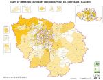
This base map can be colored, municipality by municipality, to report data, places or sectors.
It is available in different formats, Powerpoint, Word, Illustrator, Svg..., in order to adapt to the software you have on your computer.
This map is drawn in vectors and can therefore be printed in very large format without loss of quality.
This download contains the map of Ile-de-France in 6 different file formats : Illustrator, Svg, Pdf, Powerpoint, Word, Jpg,
tags Paris,couronne,suburbs,map
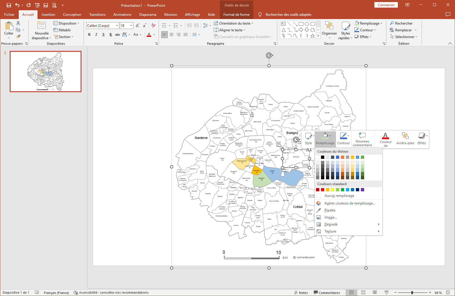
Tutorial :
Change dimensions, color different areas of the map, add text and icons to the map, print the map in large format...
read our step-by-step tutorial to customize your map.
 Editable
 Illustrator
 Svg
Svg Pdf
Pdf Powerpoint
 Word
Word Jpg
Jpg