click on the map to enlarge
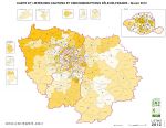
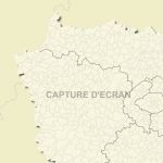
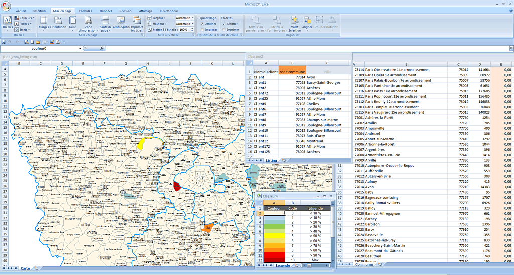
Excel choropleth map of the municipalities of Ile-de-France (PARIS) with automatic coloration according to your data.
Excel choropleth map of the municipalities of Ile-de-France (PARIS) with automatic coloration according to your data.
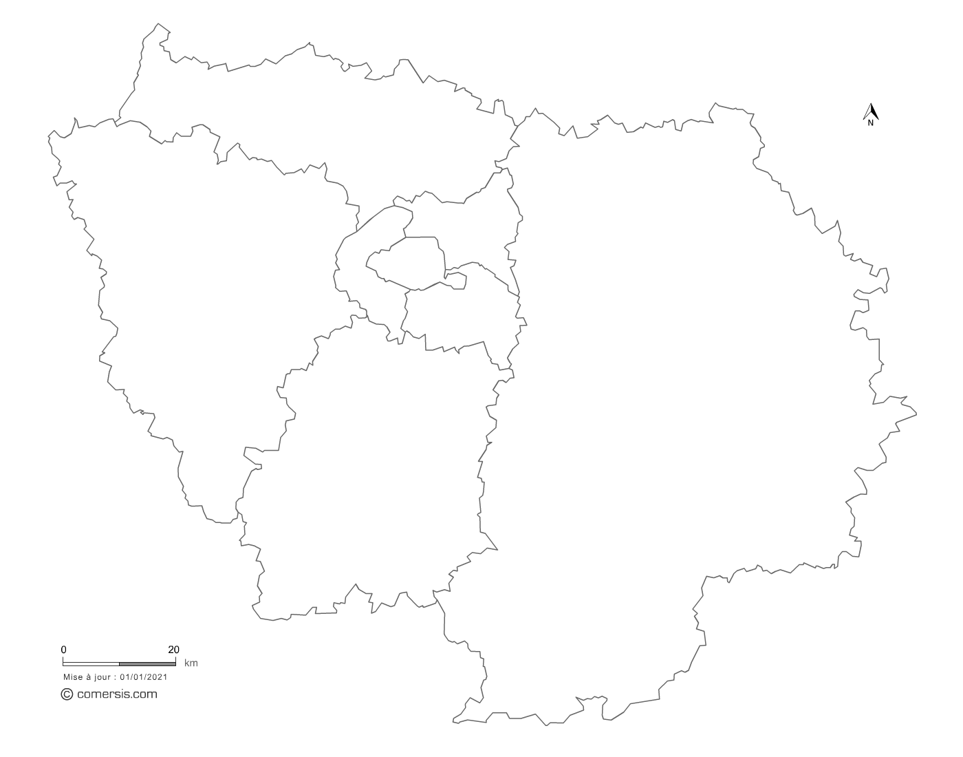
This download contains the map of Ile-de-France in 3 different file formats : Parametrable, Excel, Wmf,
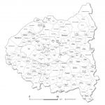
tags Paris,Ile-de-France,Excel,VBA,macro,color,towns,map
 Parametrable
 Excel
Excel Wmf
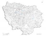
Wmf