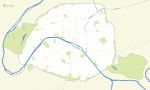
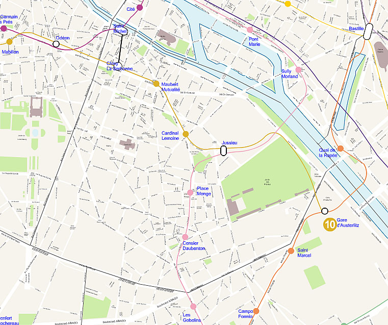
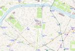
vector map of the fifth district of Paris with streets + name subway stations + name, boulevards, avenues, streets, lanes, parks and gardens, monuments and hydrography.
 click on the map to enlarge
vector map of the fifth district of Paris with streets + name subway stations + name, boulevards, avenues, streets, lanes, parks and gardens, monuments and hydrography.
click on the map to enlargeThis vector map is part of the Pack "Paris plans."\r\nAlso find Vector map of the streets of Paris
tags Paris,5,fifth,arrondissement,plan,Illustrator,map,vector

 Editable Paris 5th arrondissement map plan
 Illustrator Paris 5th arrondissement map plan
 Svg Paris 5th arrondissement map plan
 Jpg Paris 5th arrondissement map plan