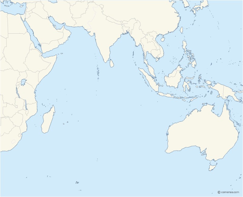
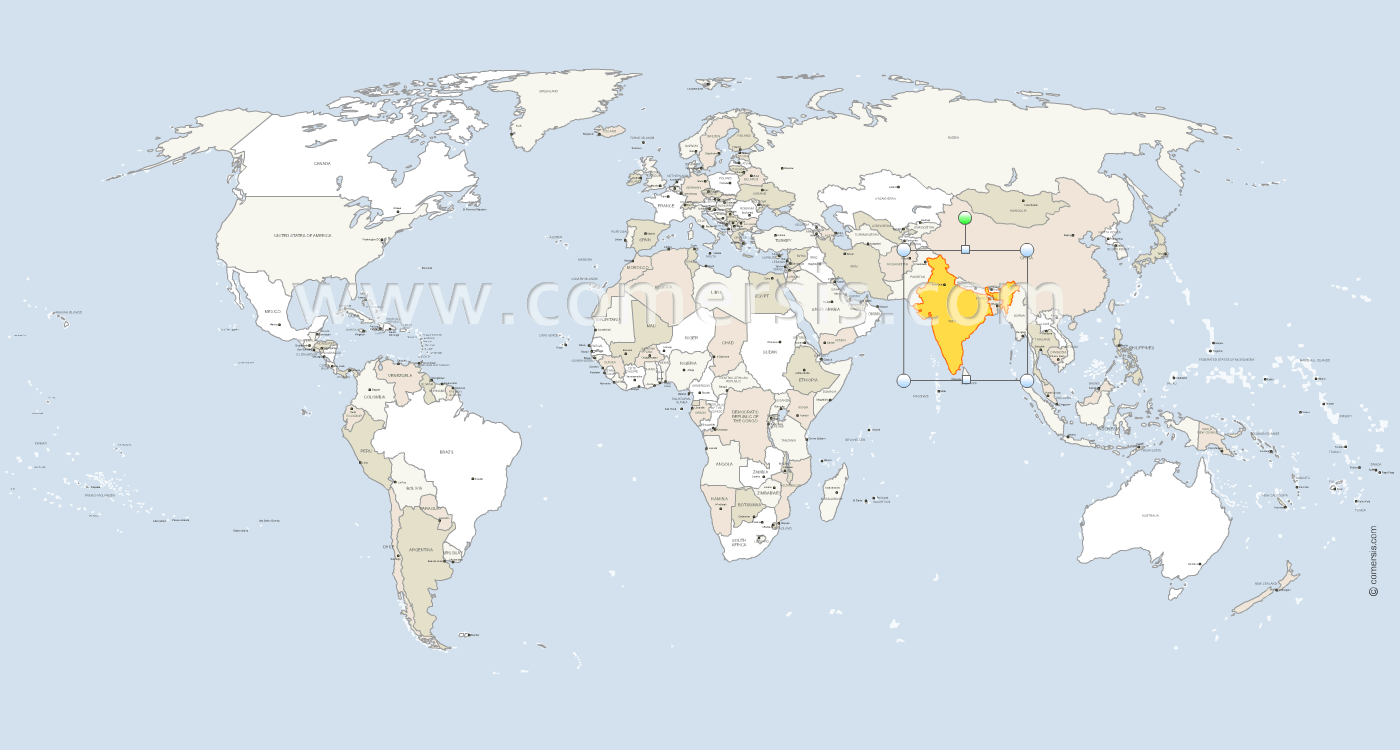
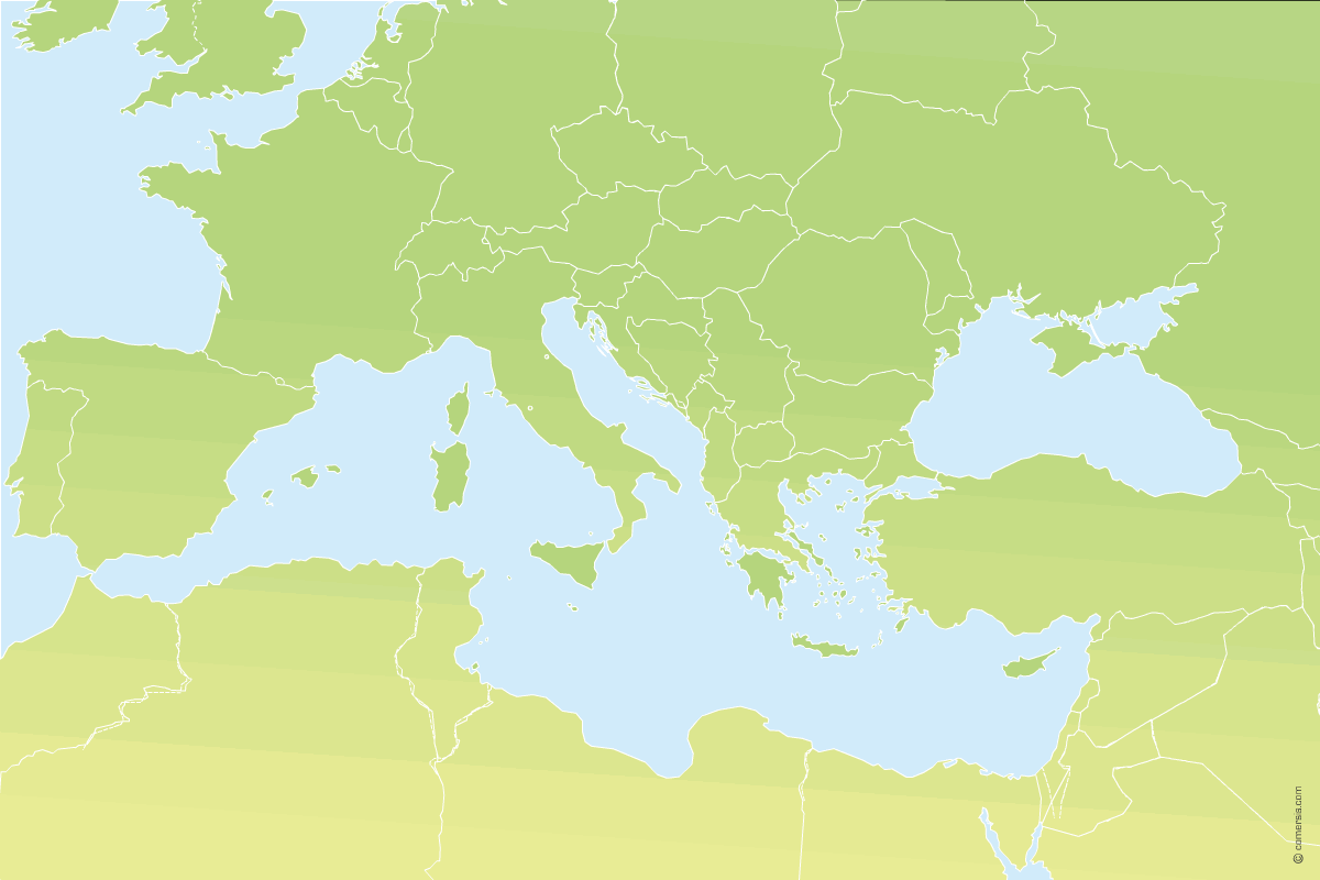
Customizable basemap of World countries centered on Asia.
This map allows you to color each country independently and add your notes, legends and symbols.
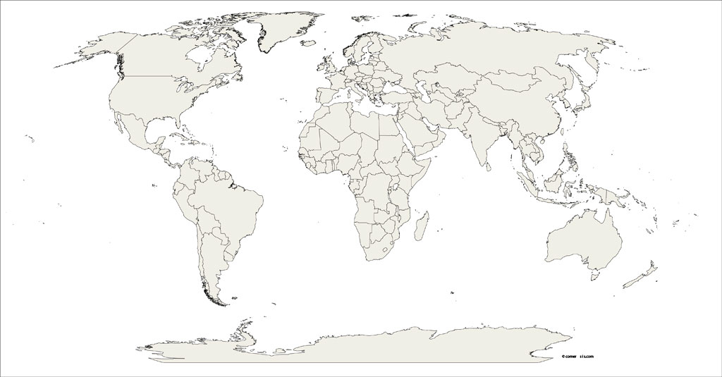
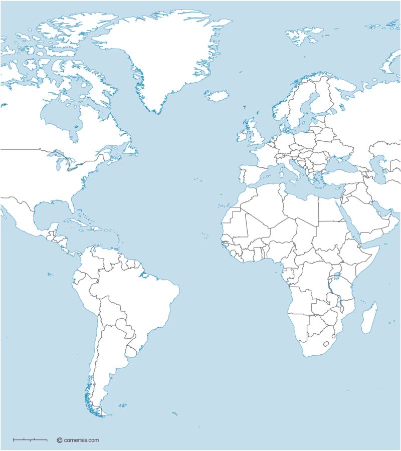
Editable background map of the borders of the countries of the World. Free download.
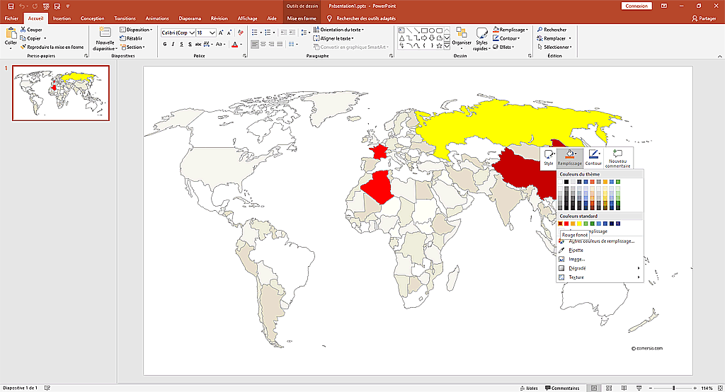
Editable ready-to-use map of the countries of the world in pptx and odp file.
Free download.
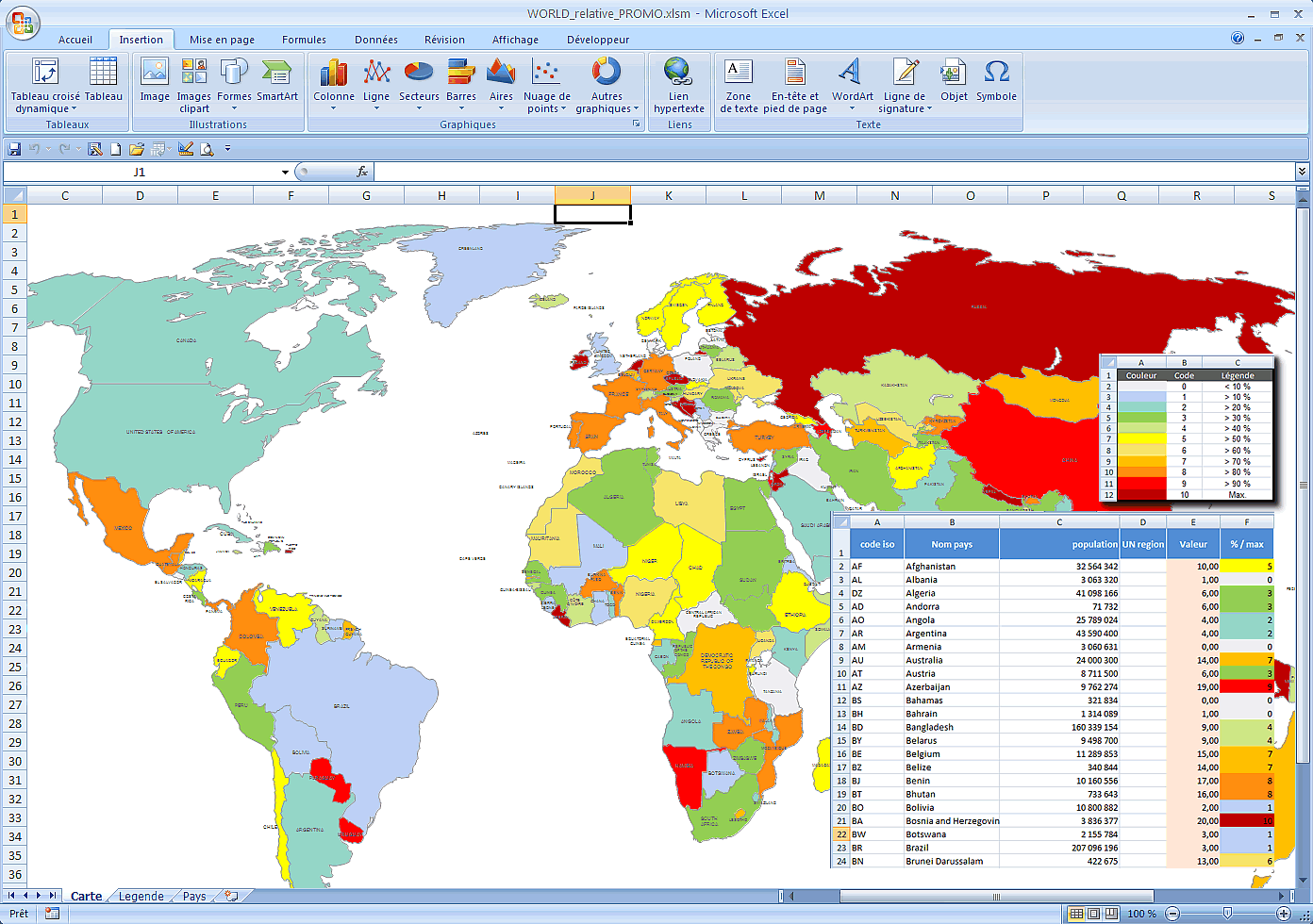
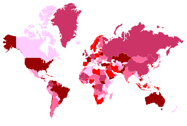
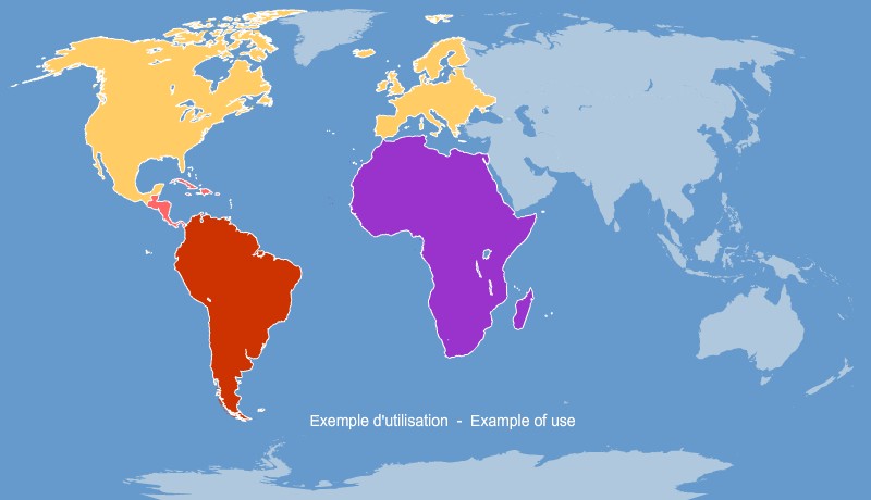
Excel map of the main countries of the world coloring according to a palette of colors according to your figures.
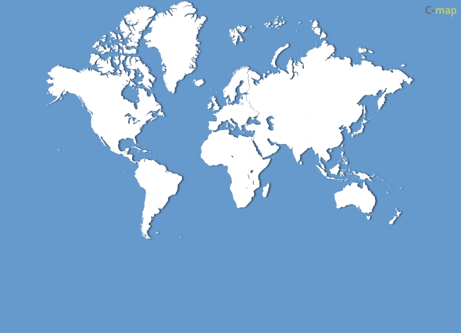
Configurable interactive map of major countries of the world, built in SVG and XML / php.
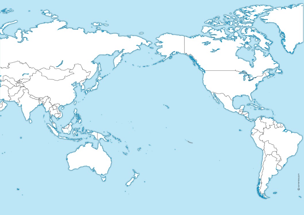
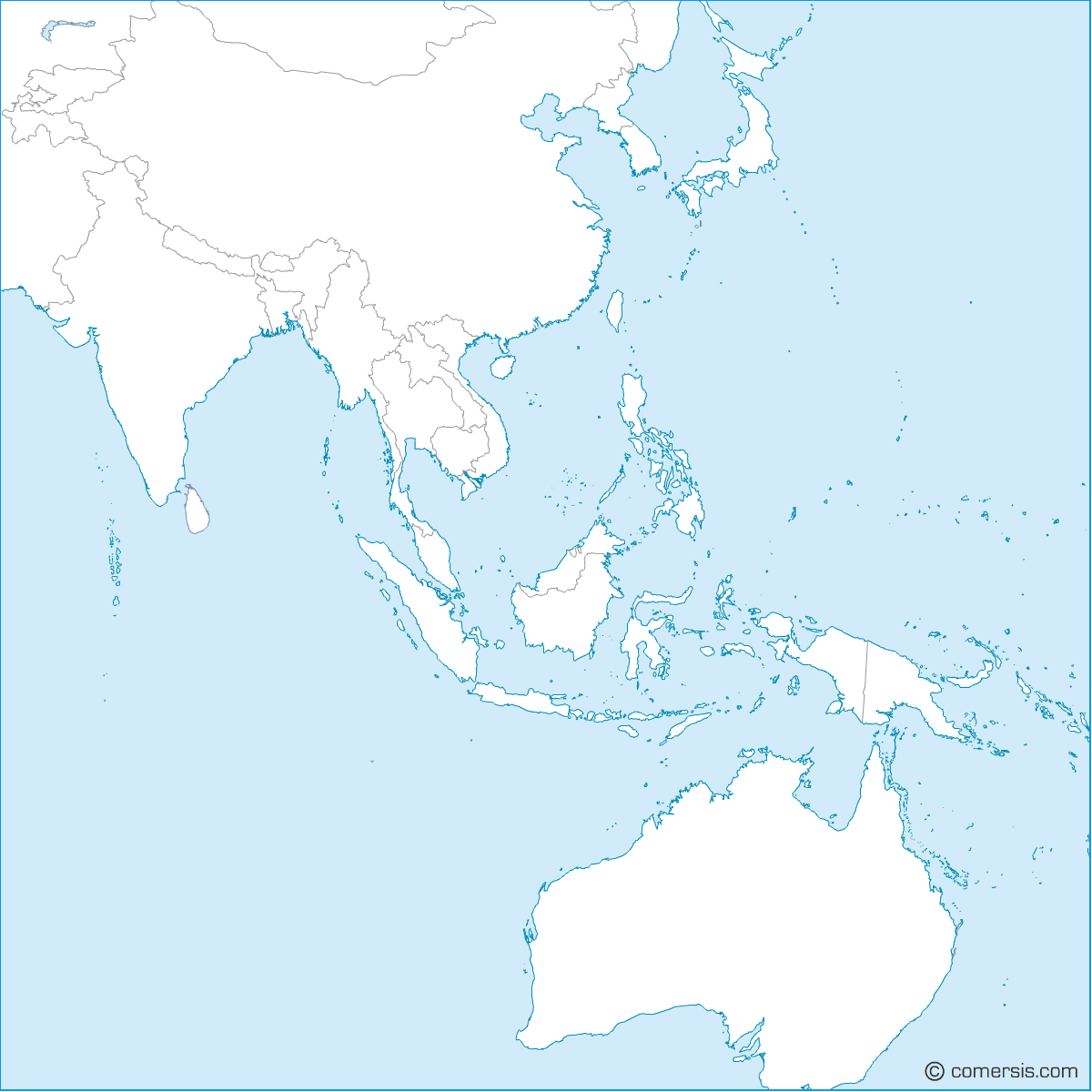
Free Ocean Pacific blank map for Illustrator, Wmf and Photoshop (layered)
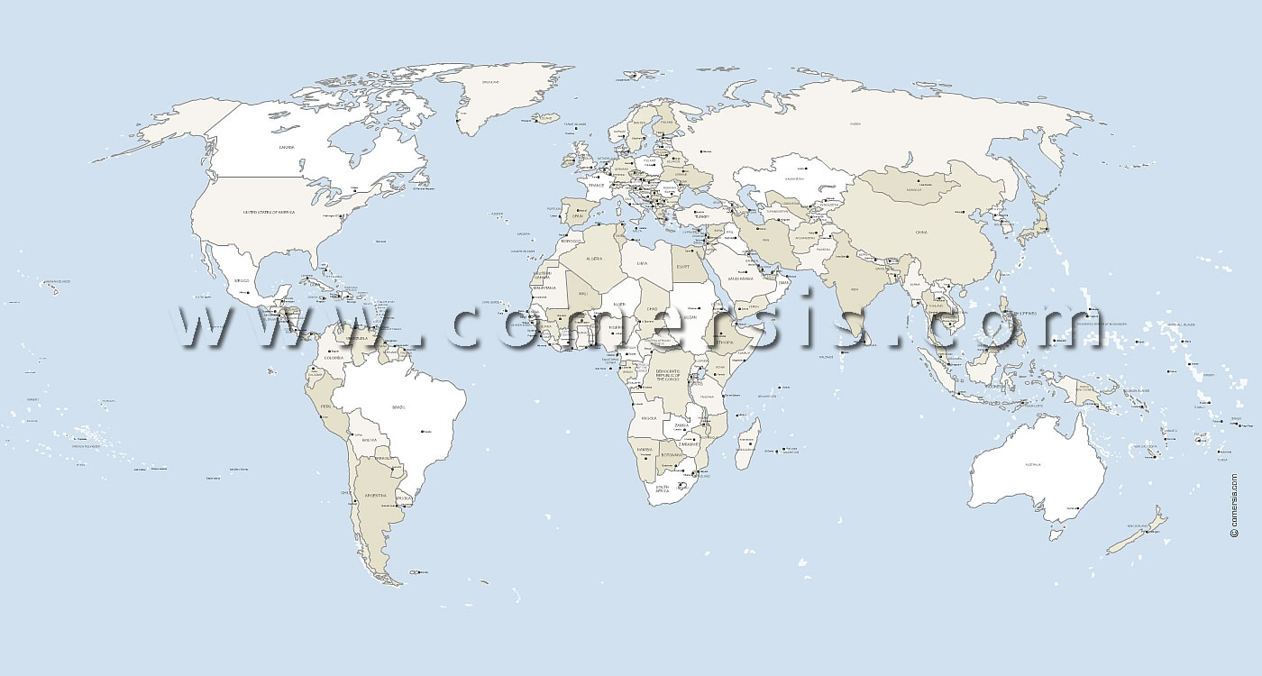
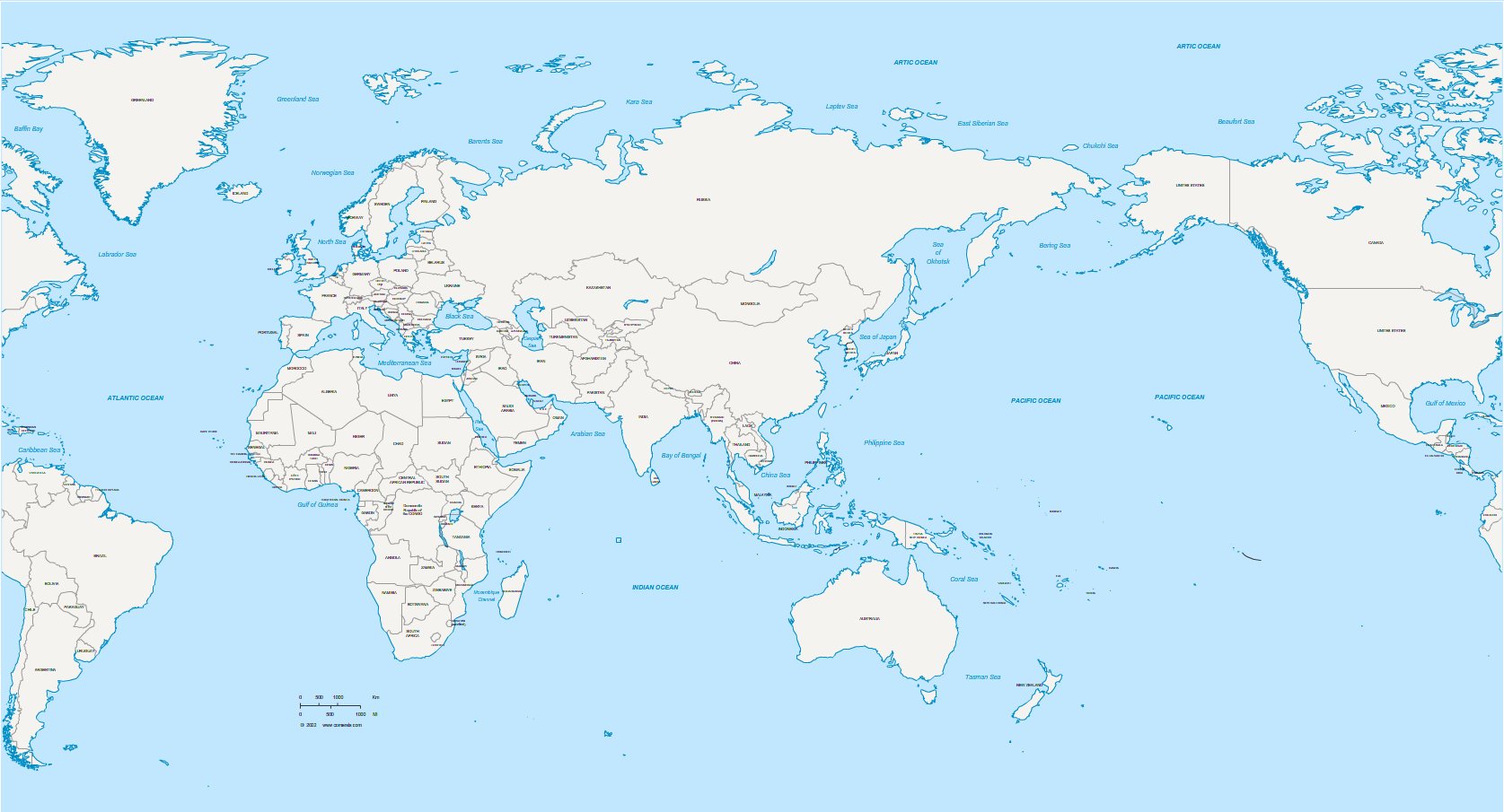
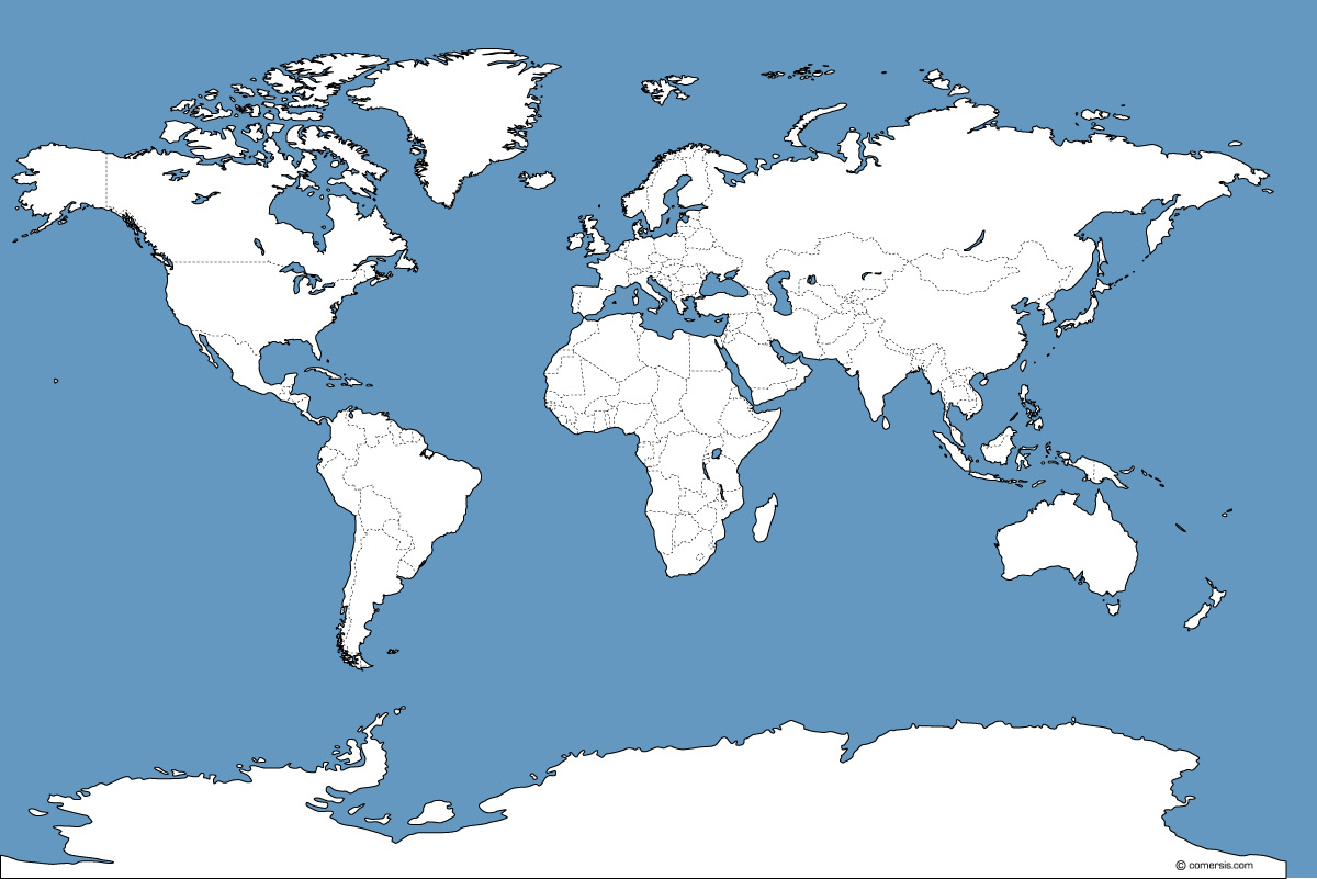
Vector map of earth with country borders and capitals.
1400 x 750 pixels vector file
Illustator, svg and Pdf in a Winzip file.
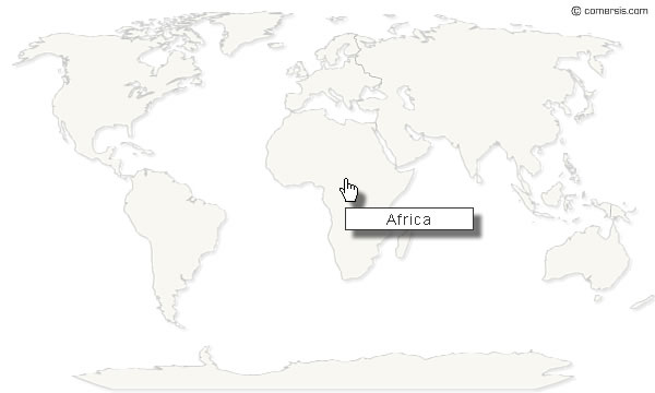
Simply copy and paste a few lines to install this map and edit your clickable links , free to use.

This world map lets you select colors of your choice in order to display various data continent by continent.
This card works with PHP and the GD2 library.
Each continent is clickable with a bubble-info on mouseover.