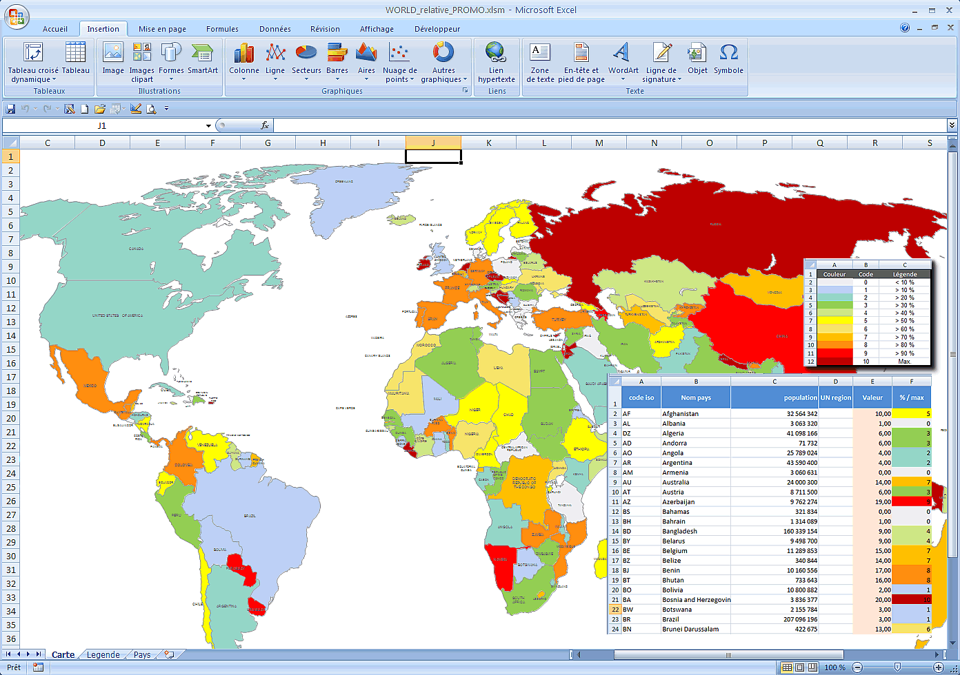
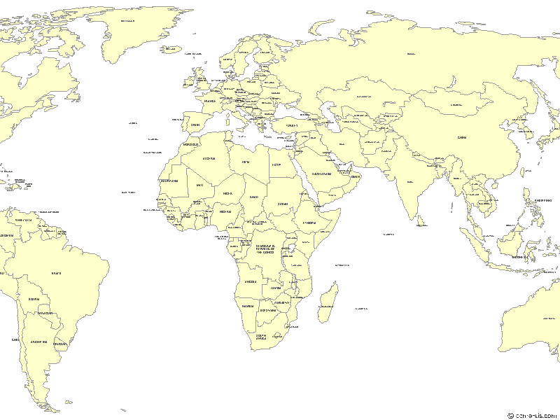
click on the map to enlarge
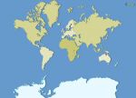
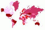
Excel map of the main countries of the world coloring according to a palette of colors according to your figures.
This download contains the map of World in 2 different file formats : Excel, Macro,
tags Excel,macro,world,country,color,map,figures,numbers,digit
 Editable
 Excel
Excel Macro
Macro