Vector map of the major axes of Paris

last update : july 10, 2023


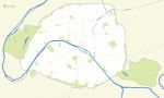
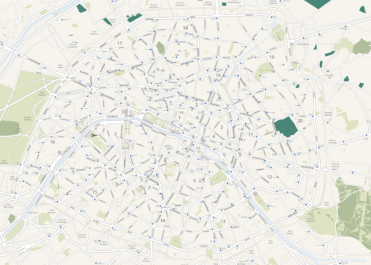
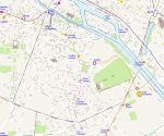
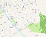
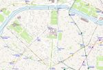
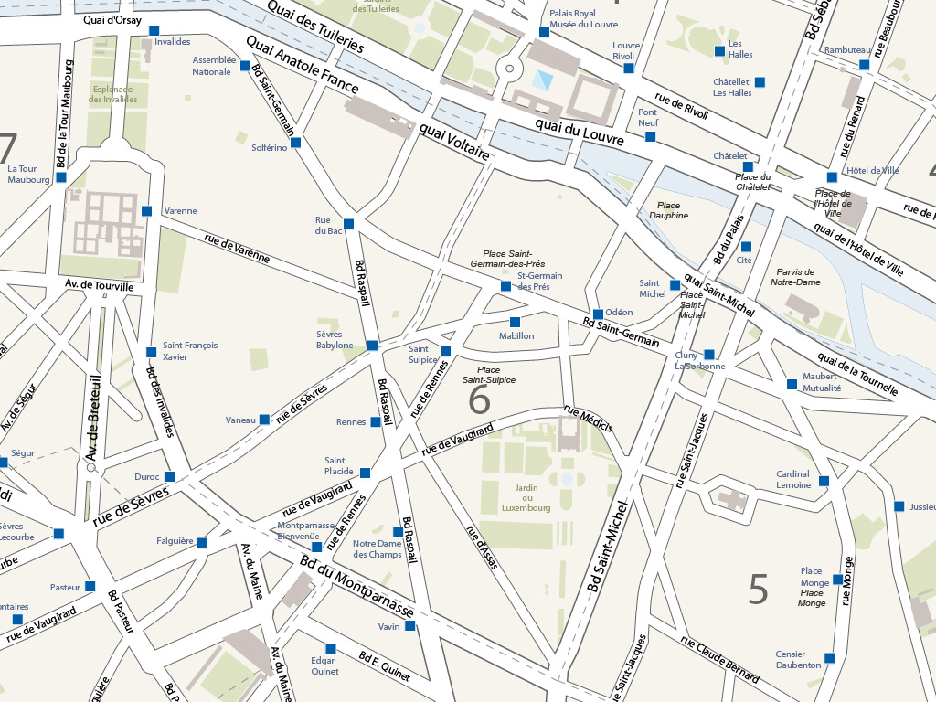
The map of major Parisian axes contains the main avenues, boulevards, quays and main streets of the city with their names.
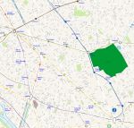
Vector map of the major axes of Parisclick on the map to enlarge
Vector map of the major axes of Paris Vector map of the major axes of Paris 2

Presentation

The Illustrator map of the main avenues and boulevards of Paris is made up of 15 vector layers:

  • Subway stations with name.
  • Name of the gates of Paris, Clichy, Saint-Ouen, Clignancourt...
  • Name of the main squares, Place de la Concorde, Place de la Madeleine, Place Vendôme...
  • Name of parks and gardens.
  • Names of avenues, quays, boulevards and main streets.
  • Remarkable buildings.
  • District numbers.
  • Outlines of the boroughs.
  • Routes.
  • Device path.
  • Wood.
  • Cemeteries.
  • Parks and gardens.
  • Hydrography.
The texts contained in this plan are not vectorized in order to be able to edit them.


tags Paris,main,axes,map,vector
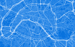


See also


75 Paris french department vector map

map-of-75 Paris french department vector map

Free vector flash map of Paris department. WMF and EMF map file. France department
Vector plan of Paris city streets - France

map-of-Vector plan of Paris city streets - France

Plan of all streets of Paris city - France. Illustrator and Eps files. Other formats on demand.
Vector map of Paris districts and neighborhoods

map-of-Vector map of Paris districts and neighborhoods

Vector map of Paris with boroughs and districts named in PDF, Illustrator in layers and SVG.
Vector plan of Paris city streets named - France

map-of-Vector plan of Paris city streets named - France

Plan of all streets of Paris city - with name. Eps files in layers.
Free vector map of Ile de la Cité Paris center

map-of-Free vector map of Ile de la Cité Paris center

Vector map of avenues and streets around Ile de la Cité (Notre Dame de Paris cathedral) with churches, parks and metro stations.
Paris 1st arrondissement map plan

map-of-Paris 1st arrondissement map plan

vector map of the first district of Paris with streets + name subway stations + name, boulevards, avenues, streets, lanes, parks and gardens, monuments and hydrography.

Quotation

Use our form for your free quote requests of interactive maps or vector maps:

Request a quote map