Download this map
tags
Use our form for your free quote requests of interactive maps or vector maps:
Request a quote map
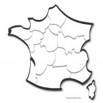
 click on the map to enlargeclick on the map to enlarge
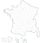
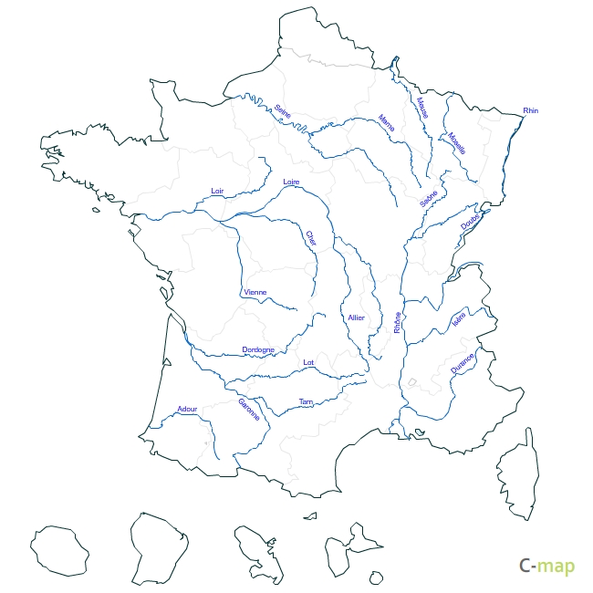
 Download this map