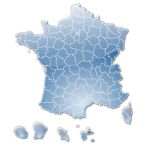
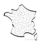
Illustrator and EPS map of french departments with names.
 click on the map to enlarge
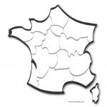
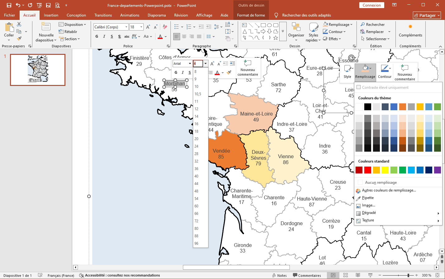
Illustrator and EPS map of french departments with names.
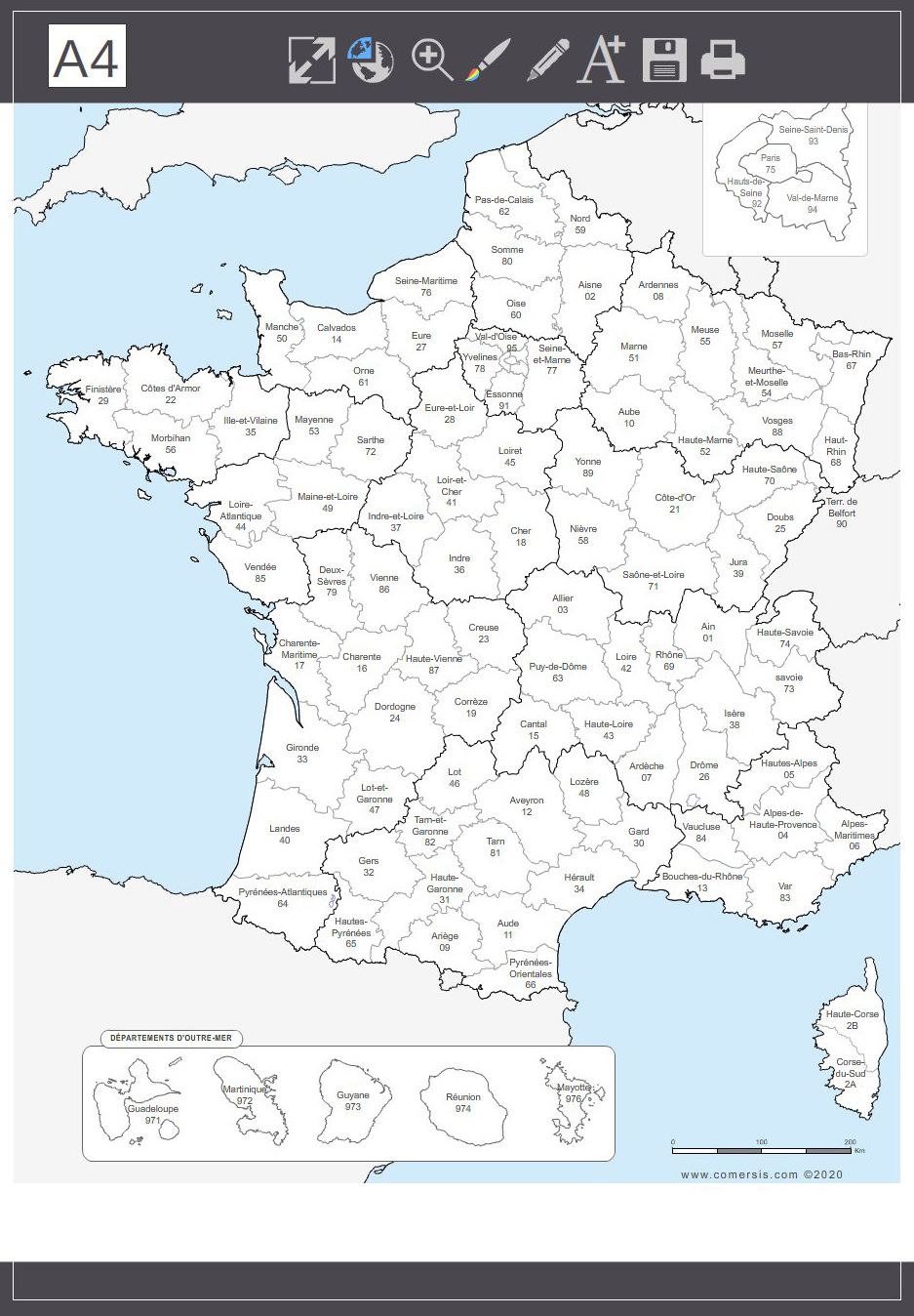
click on the map to enlarge Map of the 101 departments of France, editable and colorable.
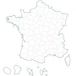
Delivered in Illustrator, EPS, Acrobat PDF and SVG vector formats.
Printable and readable in A4 size.
tags map,France,departements,vector,layer
 Illustrator French departments map with name
 Eps French departments map with name
 Pdf French departments map with name
 Svg French departments map with name
 Powerpoint French departments map with name
 Impress French departments map with name
 Jpg French departments map with name