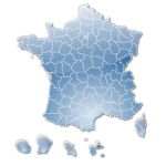
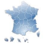
Stilisierte Karte von Frankreich nach Regionen
Vector map file illustrator, svg, psd
€ 5.00 ttc
Add to cart
Electronic delivery by download.
Ask your questions
tags France,régions,map
Use our form for your free quote requests of interactive maps or vector maps:
Request a quote map
 Stilisierte Karte von Frankreich nach Regionen
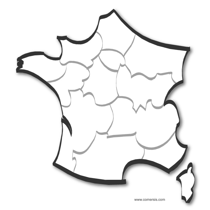 click on the map to enlargeclick on the map to enlarge
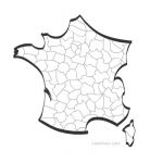
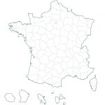
 Editable Stylized map of France by regions
 Illustrator Stylized map of France by regions
 Pdf Stylized map of France by regions
 Photoshop Stylized map of France by regions
 Svg Stylized map of France by regions
 Jpg Stylized map of France by regions