Editable map of Waals-Brabant municipalities with full name Each municipality is an independant and editable vector objet (color fill and stroke, size, shape, text...)
Illustrator, Eps, Pdf and Wmf vector maps. Supplied with the complete list of Waals-Brabant cities (Excel file).
Updated june 2017.
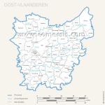
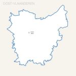
Editable map of Oost Vlaanderen municipalities with full name Each municipality is an independant and editable vector objet (color fill and stroke, size, shape, text...)
Illustrator, Eps, Pdf and Wmf vector maps. Supplied with the complete list of Oost Vlaanderen cities (Excel file).
Updated june 2017.
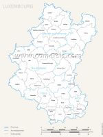
Editable map of Luxemburg municipalities with full name Each municipality is an independant and editable vector objet (color fill and stroke, size, shape, text...)
Illustrator, Eps, Pdf and Wmf vector maps. Supplied with the complete list of Luxemburg cities (Excel file).
Updated june 2017.
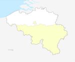
 click on the map to enlarge
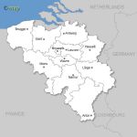
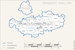
 Download this map
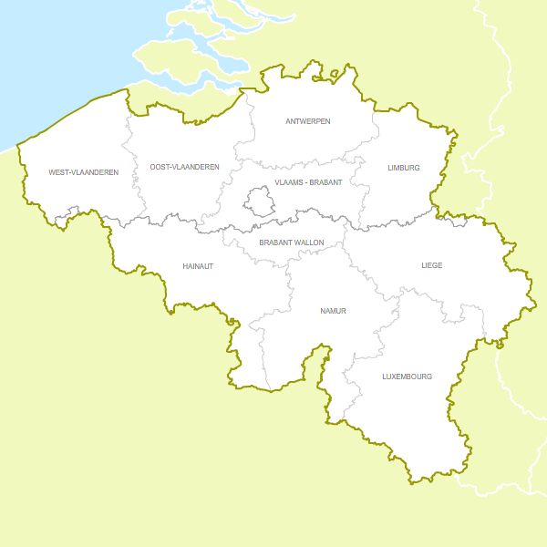
 Ai Belgium provinces free vector map
 Flash Belgium provinces free vector map
 Svg Belgium provinces free vector map