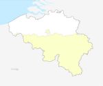
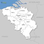
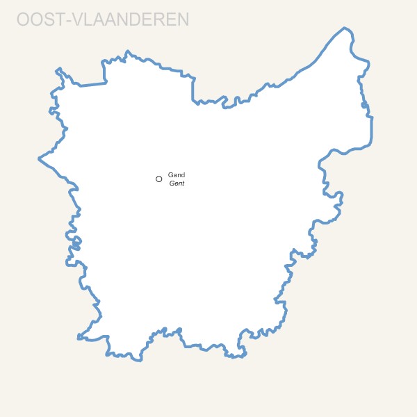
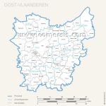
Editable free map of Oost Vlaanderen province
Illustrator, Eps, Pdf and Wmf vector maps.
Updated june 2017.
 click on the map to enlarge
Editable free map of Oost Vlaanderen province
Illustrator, Eps, Pdf and Wmf vector maps.
Updated june 2017.
click on the map to enlarge
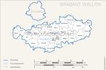
This map is also available :
tags Belgium,Oost Vlaanderen,villes,Belgie,provincie,karte,2017
 Download this map
 Editable Oost Vlaanderen province map with capital.
 Eps Oost Vlaanderen province map with capital.
 Pdf Oost Vlaanderen province map with capital.
 Svg Oost Vlaanderen province map with capital.
 Wmf Oost Vlaanderen province map with capital.