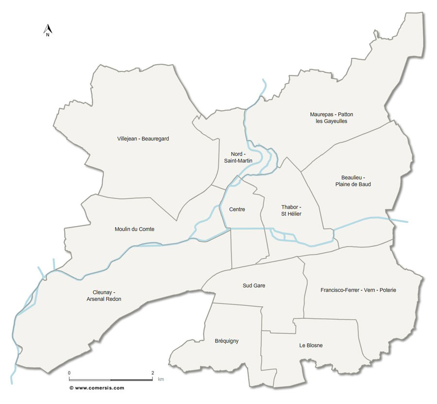
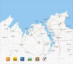
Free customizable plan of the administrative districts of Rennes.
 click on the map to enlarge
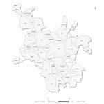
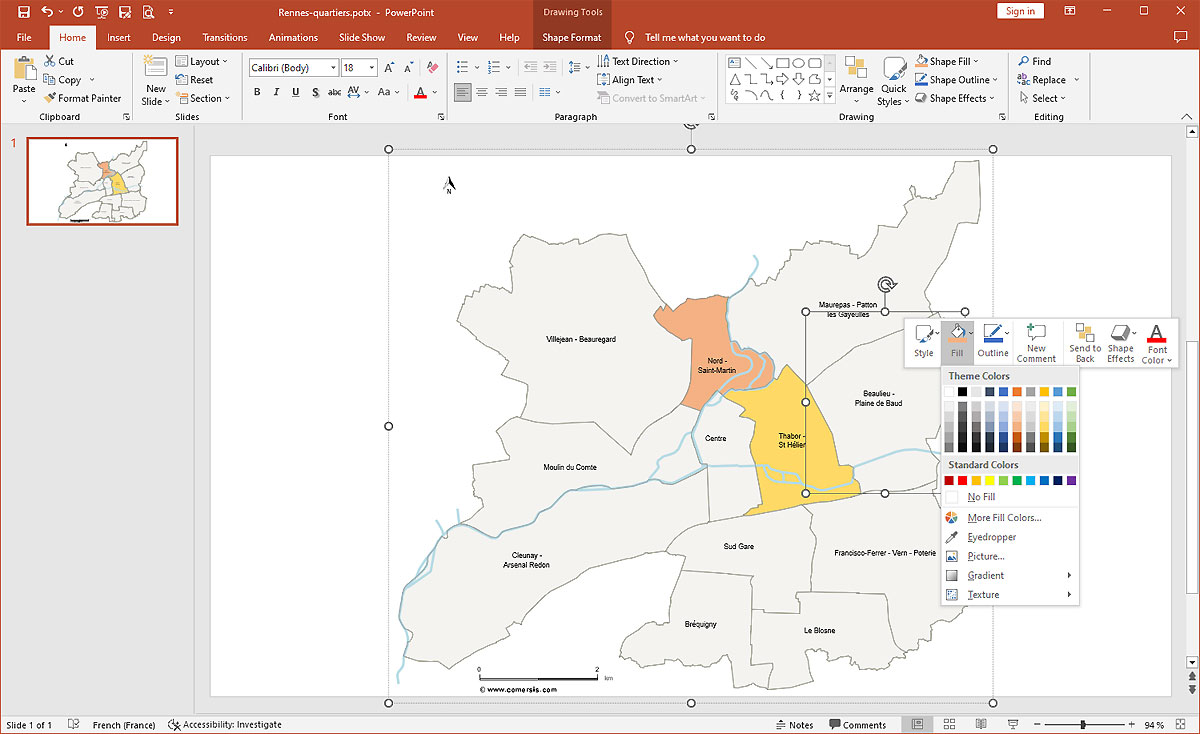
Free customizable plan of the administrative districts of Rennes.
click on the map to enlarge This base map allows you to create your plans of Rennes for your sectorization, data report or locate your points of sale. File formats delivered: Illustrator, Pdf, Svg, Powerpoint and Jpeg HD.
tags Rennes,Bretagne,quartiers,plan,carte

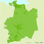
 Download this map
 Editable administrative districts of Rennes
 Illustrator administrative districts of Rennes
 Svg administrative districts of Rennes
 Pdf administrative districts of Rennes
 Powerpoint administrative districts of Rennes
 Jpg administrative districts of Rennes