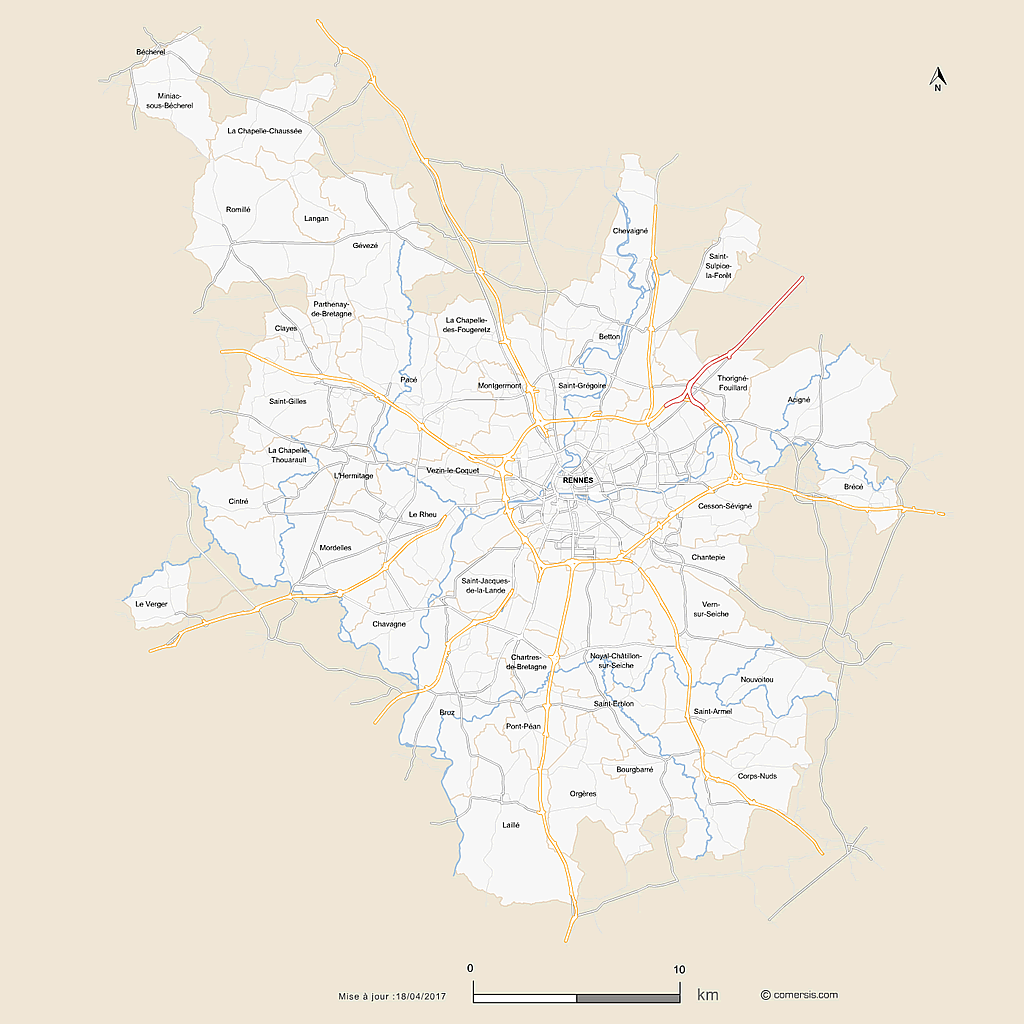
click on the map to enlarge
map of Rennes metropolis with editable vector formats Illustrator in layers, EPS in layers, Layered PDF and SVG.
This map contains the layers:
- Communal limits
- Communal names
- Hydrography
- Secondary roads
- Departmental roads
- expressways
- highways
- Legend (scale, compass, date of last update)
This map is proposed at the price of 29.90 euros ttc editing rights & reproduction included.
This download contains the map of Ille-et-Vilaine in 5 different file formats : Illustrator, Eps, Svg, Pdf, Jpg,
tags Rennes,roads,map
 Editable
 Illustrator
 Eps
Eps Svg
Svg Pdf
Pdf Jpg
Jpg