44 Loire Atlantique französisch lander vector map
Free vector map of Loire Atlantique department. EPS and PNG map file. France department
Download this map
tags
Use our form for your free quote requests of interactive maps or vector maps:
Request a quote map
 44 Loire Atlantique französisch lander vector map
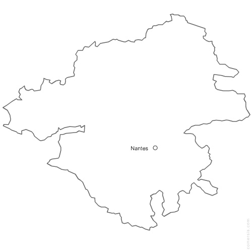 click on the map to enlarge
 Download this map
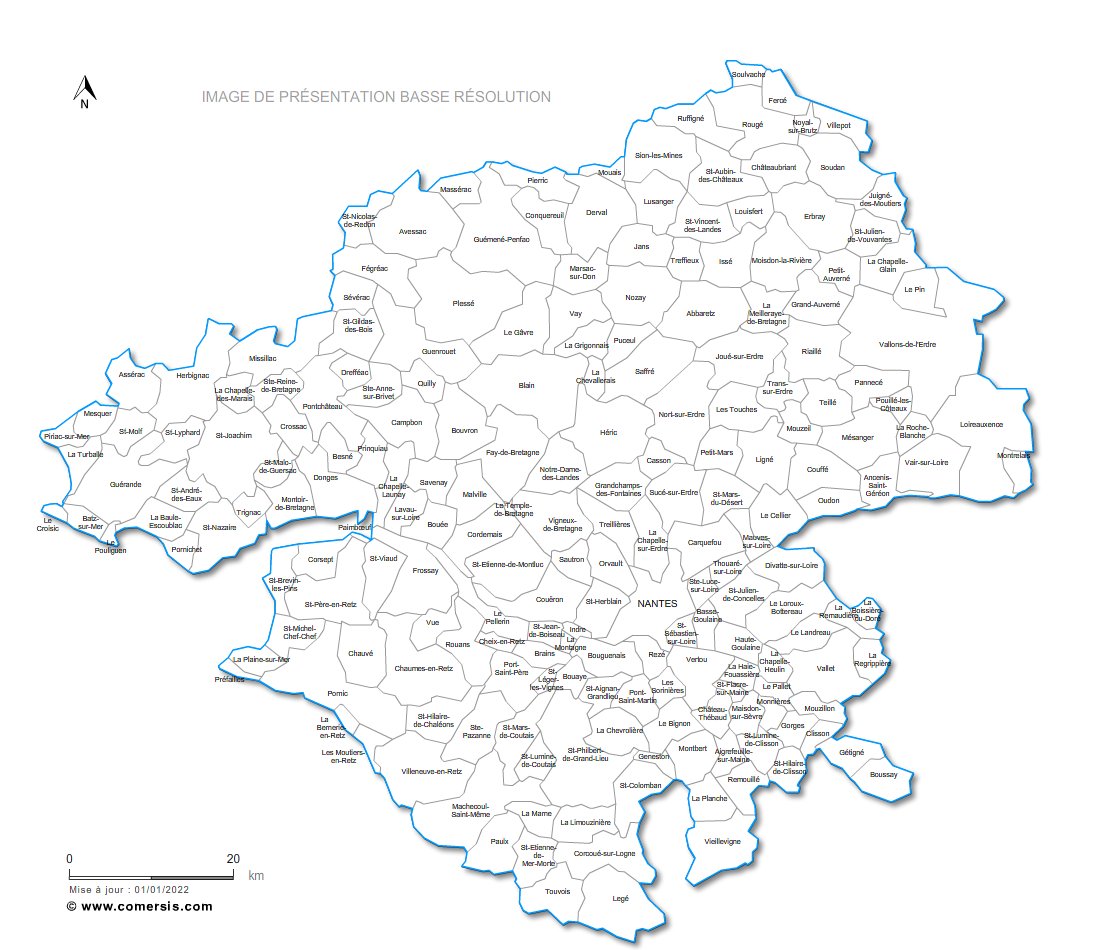
 Eps 44 Loire Atlantique french department vector map
 Png 44 Loire Atlantique french department vector map