Editable layered map of the 24 municipalities of the metropolis of Nantes.
€ 5.00 ttc
Add to cart
Electronic delivery by download.
Ask your questions
tags Nantes,metropole,communes,map,vector
Use our form for your free quote requests of interactive maps or vector maps:
Request a quote map
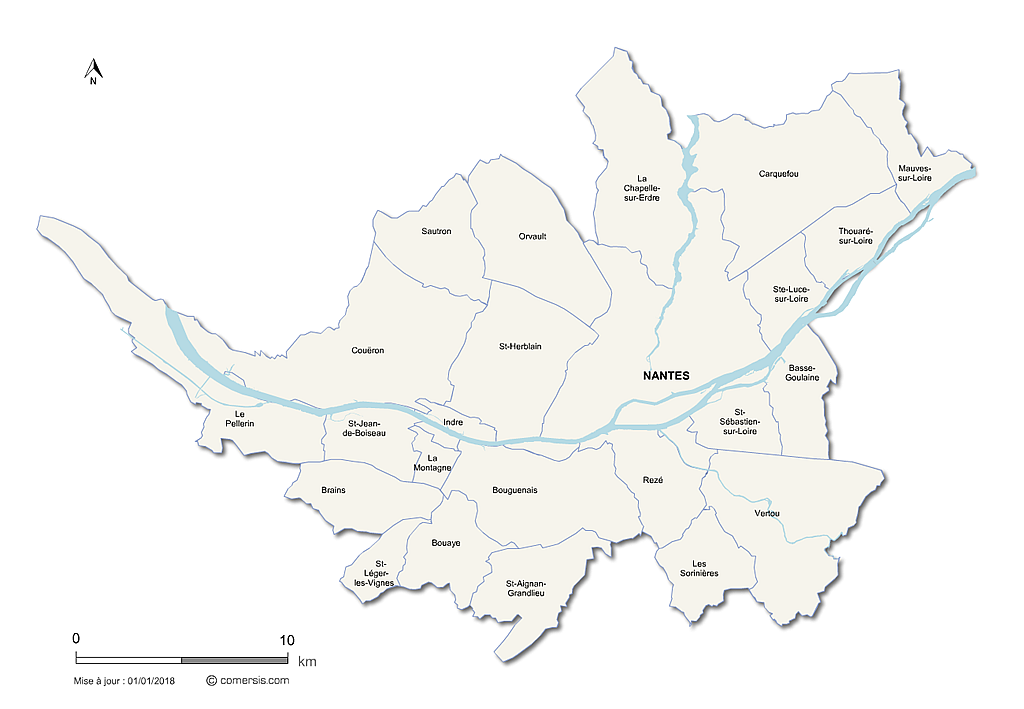 click on the map to enlarge
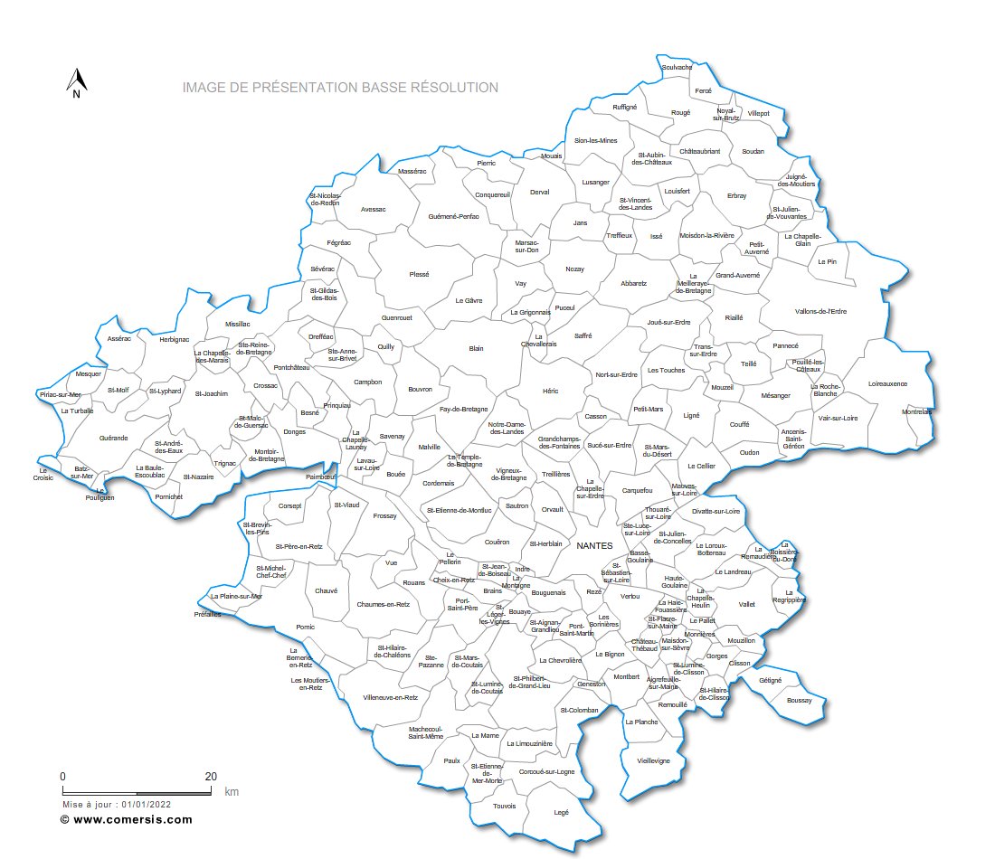
 Editable Nantes Metropolis
 Illustrator Nantes Metropolis
 Eps Nantes Metropolis
 Svg Nantes Metropolis
 Pdf Nantes Metropolis
 Wmf Nantes Metropolis
 Jpg Nantes Metropolis