map

interactive map of Belgium


interactive map of Belgium

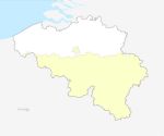
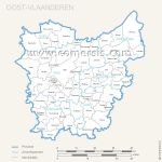
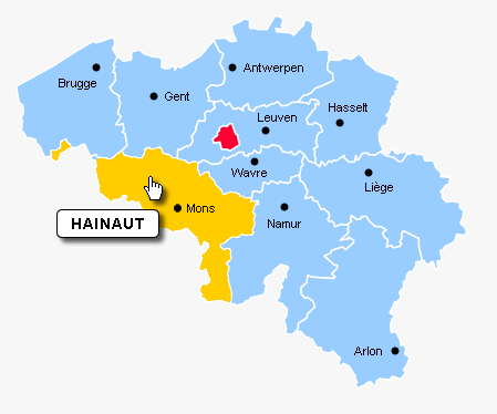
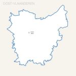
click on the map to enlarge

Clickable provinces map of belgium. Colors, buttons, texts and borders editable. Ready to use map.


tags

Files format *

* Files contained in this download..


See also


West Vlaanderen province map with capital.

West Vlaanderen province map with capital.

Editable free map of West Vlaanderen province
Illustrator, Eps, Pdf and Wmf vector maps.
Updated june 2017.
Free vector map of Brussels region municipalities

Free vector map of Brussels region municipalities

Free map of Brussels region municipalities including Illustrator, Flash and svg file. Texts in Dutch
West Vlaanderen province map with capital.

West Vlaanderen province map with capital.

Editable free map of West Vlaanderen province
Photoshop layers, Jpeg and Wmf image maps.
Updated june 2017.
Oost Vlaanderen province map with capital.

Oost Vlaanderen province map with capital.

Editable free map of Oost Vlaanderen province
Illustrator, Eps, Pdf and Wmf vector maps.
Updated june 2017.
Belgium provinces free vector map

Belgium provinces free vector map

Free vector map of Belgium provinces Illustrator, Flash and Svg files.

Quotation

Use our form for your free quote requests of interactive maps or vector maps:

Request a quote map


Who is comersis.com

Comersis.com website
29630 Plougasnou
Tél.: (33).2 98 15 70 81

New opening hours :
Tuesday to Friday from 09h30 to 12h30
Siret :387 676 828