Kerguelen Islands vector map


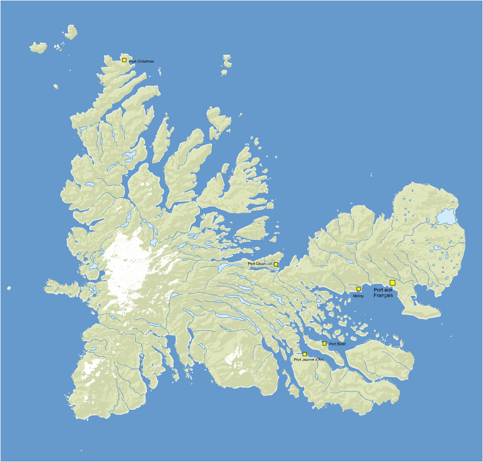
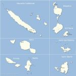
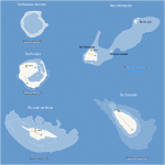
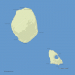
Editable vector map layers Kerguelen Islands with names of major places. The map shows the relief (in vectors) and hydrography.

Kerguelen Islands vector mapclick on the map to enlarge

Presentation


tags Kerguelen,Islands,French,vector,free,map


See also


french overseas regions vector map

map-of-french overseas regions vector map

Free vector flash map of T.O.M. region. WMF and EMF map file. France department
988 Nouvelle Calédonie french department vector map

map-of-988 Nouvelle Calédonie french department vector map

Free vector flash map of Nouvelle Calédonie department. WMF and EMF map file. France department
French Southern and Antarctic Lands

map-of-French Southern and Antarctic Lands

Free Vector map of French Southern and Antarctic Lands delivered in Eps, wmf,jpg and Svg. Location of Crozet, Eparses, Kerguelen, St Paul and Amsterdam and Adelie Land.
Crozet Islands -Archipelago

map-of-Crozet Islands -Archipelago

Free customizable map of Crozet Archipelago, Indian ocean
Scattered Islands in the Indian Ocean

map-of-Scattered Islands in the Indian Ocean

Free Scattered Islands editable map.
Saint Paul Island and Amsterdam Island

map-of-Saint Paul Island and Amsterdam Island

Free editable map of Saint Paul island and Amsterdam island in the indian ocean
Adélie Land claimed territory

map-of-Adélie Land claimed territory

Editable vector map layers location of Terre Adélie in Antarctica. The map shows major bases set and the limits of the claims of each country present.

Quotation

Use our form for your free quote requests of interactive maps or vector maps:

Request a quote map