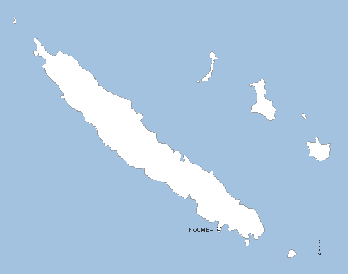
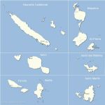
Free Vector map of French Southern and Antarctic Lands delivered in Eps, wmf,jpg and Svg. Location of Crozet, Eparses, Kerguelen, St Paul and Amsterdam and Adelie Land.
 click on the map to enlarge
Free Vector map of French Southern and Antarctic Lands delivered in Eps, wmf,jpg and Svg. Location of Crozet, Eparses, Kerguelen, St Paul and Amsterdam and Adelie Land.
click on the map to enlargetags Southern,Antarctic,Lands,map

 Download this map
 Editable French Southern and Antarctic Lands
 Eps French Southern and Antarctic Lands
 Svg French Southern and Antarctic Lands
 Wmf French Southern and Antarctic Lands
 Jpg French Southern and Antarctic Lands