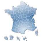
2017 Vector base map of towns of France in with departmental boundaries.
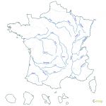
 click on the map to enlarge
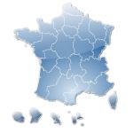
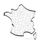
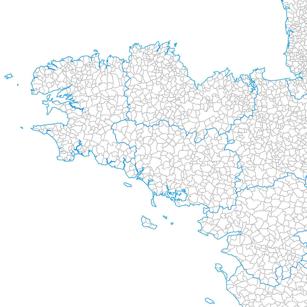
2017 Vector base map of towns of France in with departmental boundaries.
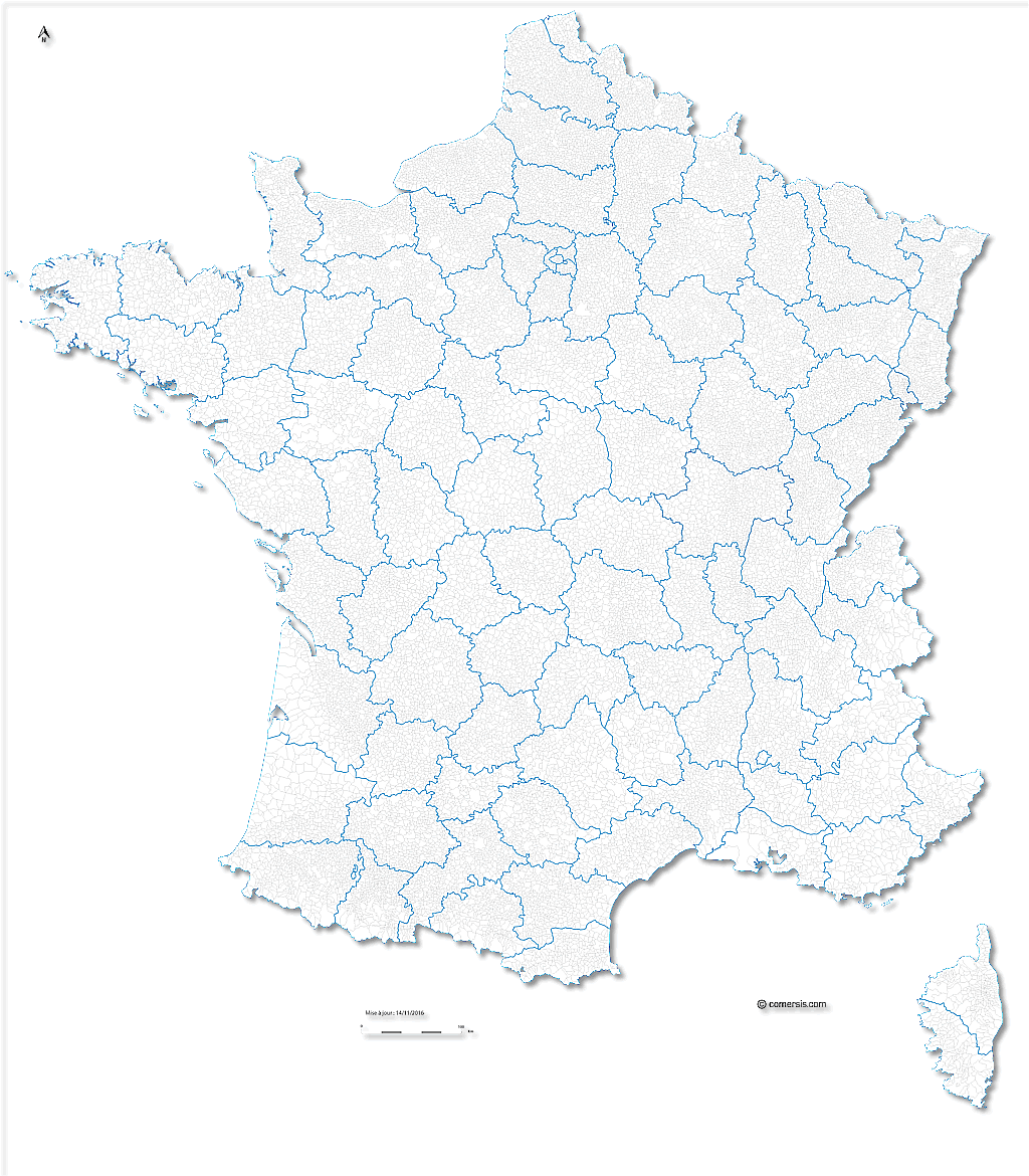
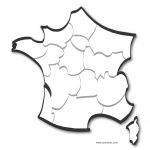
click on the map to enlarge 2017 Vector base map of towns of France in with departmental boundaries.
tags Fance,communes,villes,carte,Illustrator,Eps,Pdf,svg
 Editable France municipalities vector map
 Illustrator France municipalities vector map
 Eps France municipalities vector map
 Svg France municipalities vector map
 Pdf France municipalities vector map
 Jpg France municipalities vector map