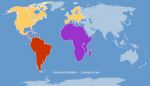
Customizable and colorable world map for MS PowerPoint and LibreOffice Impress.
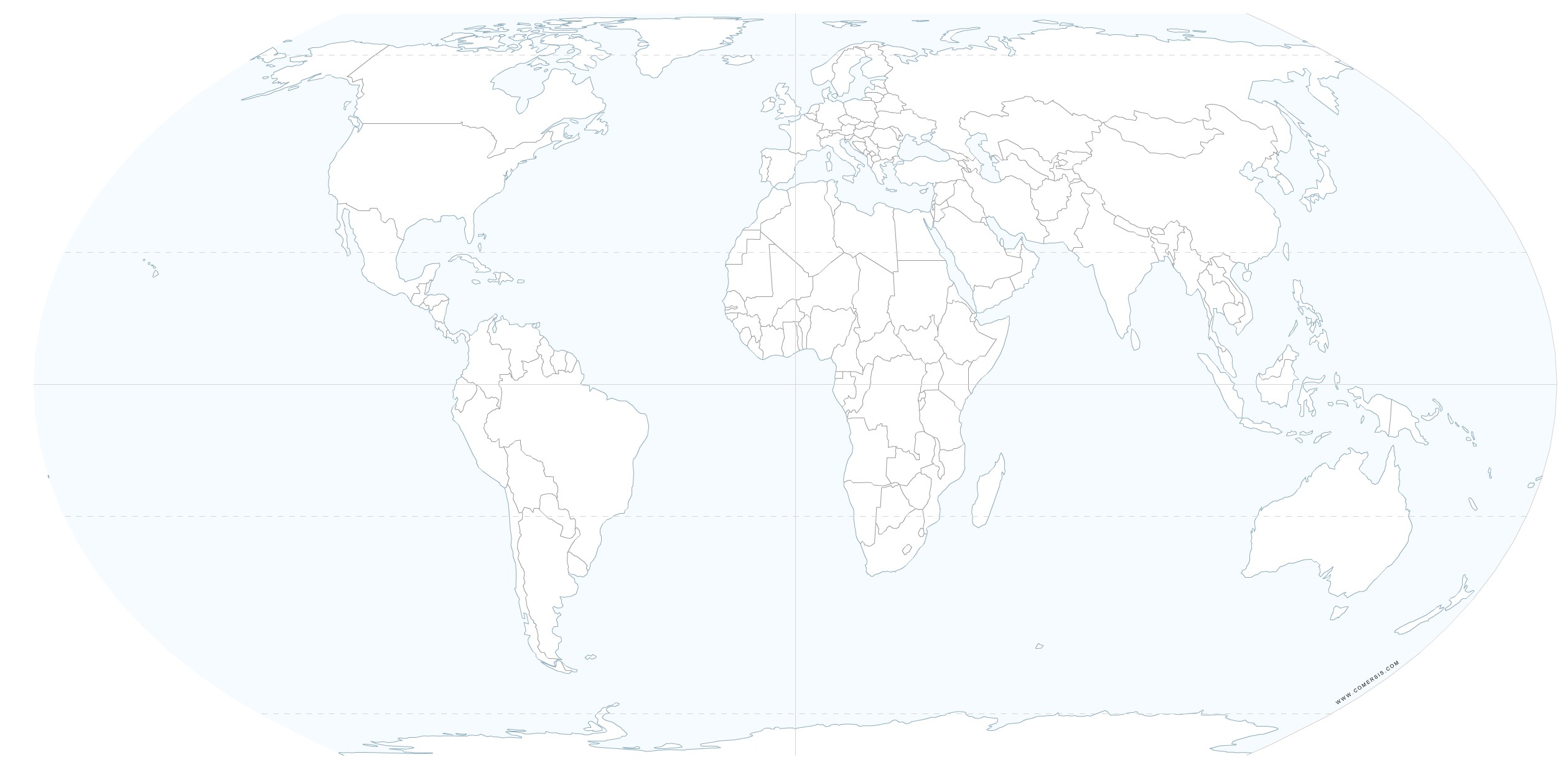 click on the map to enlarge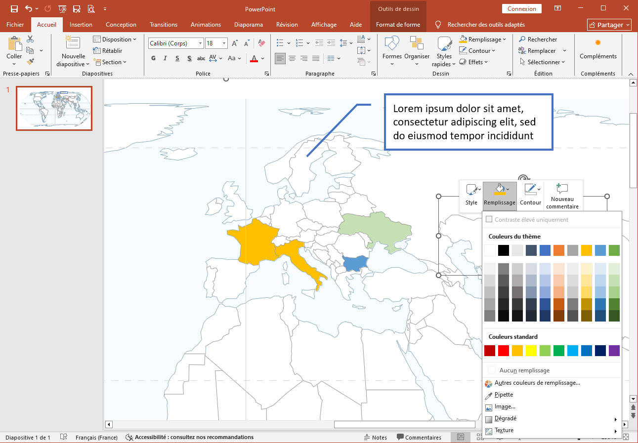
Customizable and colorable world map for MS PowerPoint and LibreOffice Impress.
click on the map to enlarge Pseudocylindrical projection. Inspired by the Robinson projection, this projection was recently developed for creating world maps. Its main advantage is that it accurately represents surface areas. With its standard parameters, the central meridian and the parallels appear as straight lines. Furthermore, the meridians are evenly spaced.
tags equal,earth,map,Powerpoint,Impress
 Download this map
 Editable Equal Earth world projection
 Powerpoint Equal Earth world projection
 Impress Equal Earth world projection
 Jpg Equal Earth world projection