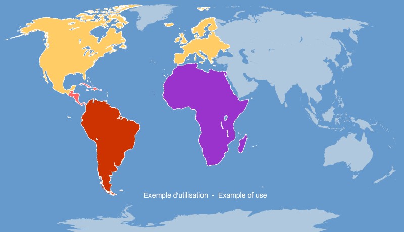
Editable map of World's continents, built in vector, ready to use.
 click on the map to enlarge
Editable map of World's continents, built in vector, ready to use.
click on the map to enlargeThis download contains 2 Excel® workbooks :
tags World,continent,map,Office,Excel,Word,PowerPoint
 Download this map
 Editable World continents map for Word and Excel
 Excel-2003 World continents map for Word and Excel
 Excel-2007 World continents map for Word and Excel
 Word-2003 World continents map for Word and Excel
 Word-2007 World continents map for Word and Excel
 Wmf World continents map for Word and Excel