17 Charente Maritime french department vector map
 17 Charente Maritime französisch lander vector map
Free vector map of Charente Maritime department. Eps and Png map file. France department
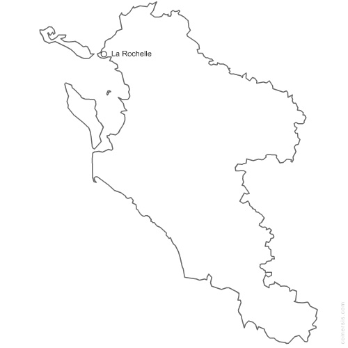 click on the map to enlarge
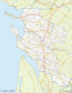
 17 Charente Maritime französisch lander vector map
Free vector map of Charente Maritime department. Eps and Png map file. France department
click on the map to enlargetags
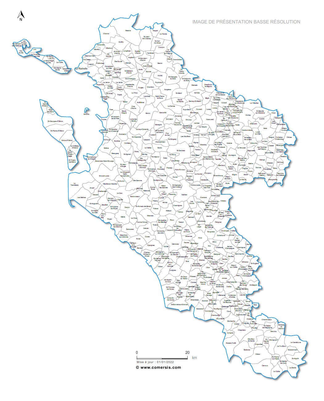
 Download this map
 Eps 17 Charente Maritime french department vector map
 Png 17 Charente Maritime french department vector map