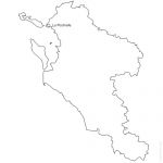
Vector map with outline of 472 municipalities of Charente-Maritime - 17 french department with towns names. (non-vectorized text in Ai) Full vector editable file : Illustrator® *Ai, AutoCad® *Dwg, Acrobat® *Pdf. Other formats available on simple request (Fla, Emf, Svg, Eps, Psd, Cdr...).
 click on the map to enlarge
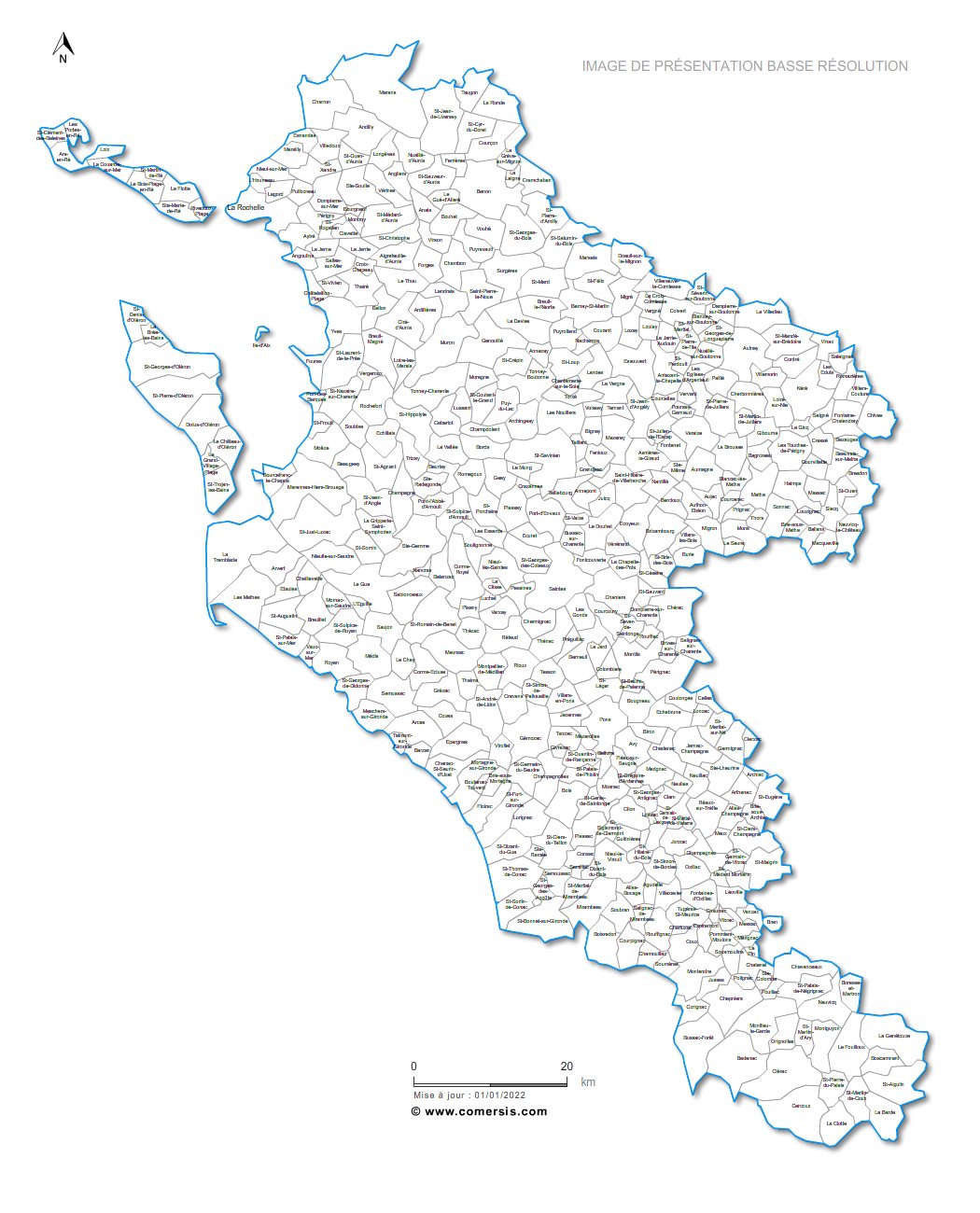
 Editable Vector map of Charente-Maritime municipalities and roads
 Illustrator Vector map of Charente-Maritime municipalities and roads
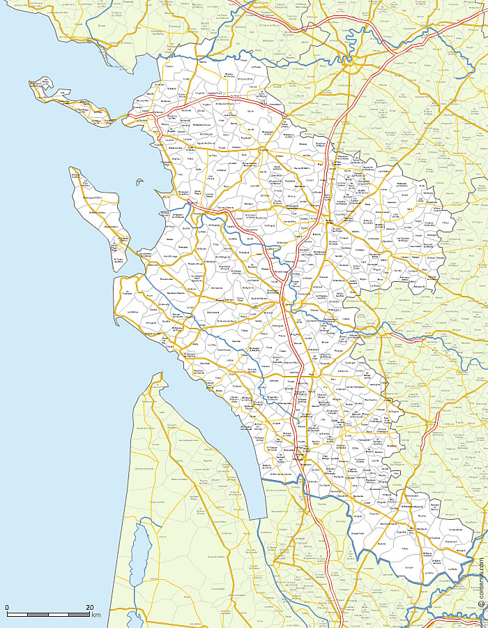
 Pdf Vector map of Charente-Maritime municipalities and roads