click on the map to enlarge
Map set of the new regions, departments, head towns of France ready to change for ms office Word®, Excel® and PowerPoint®.
5 maps pack :
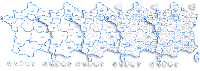
This download contains the map of France in 3 different file formats : Excel, Word, Powerpoint,
tags France,2017,regions,departements,towns,Execl,Word,Powerpoint,map
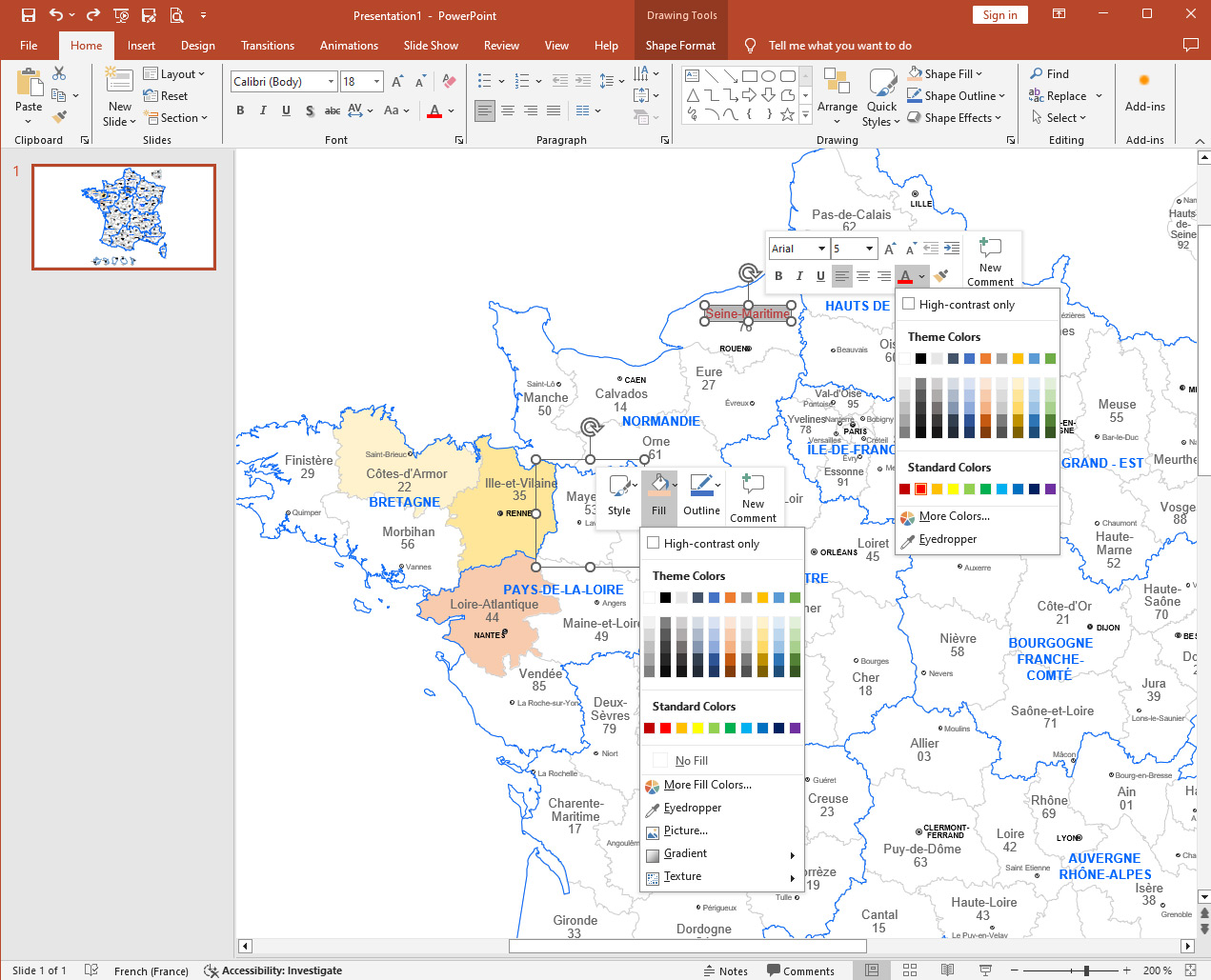
How to customize this map?
Tutorial :
Change dimensions, color different areas of the map, add text and icons to the map, print the map in large format...
read our step-by-step tutorial to customize your map.
 Editable
 Excel
Excel Word
Word Powerpoint