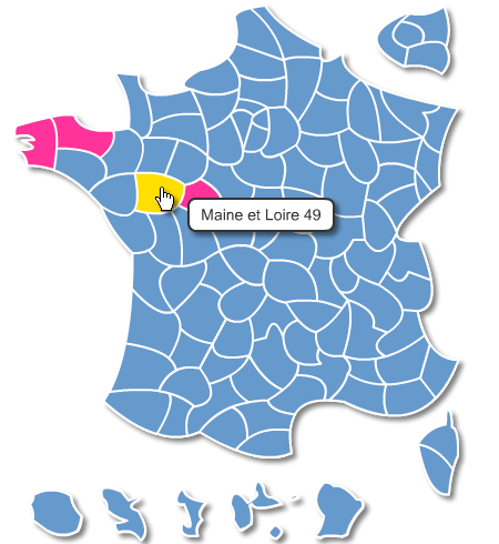
click on the map to enlarge
Editable parameters of this map:
- Map size (dimensions in pixels).
- Background color (default color).
- Color contours.
- Color of each department.
- Color non-active departments.
- Text bubble-info.
- Link each department.
- Target links (new window, top frame ...).
Note: the url link can also be a script call, e-mail address or a file to download.
Info bubble and the board layout is managed by a CSS style.
This is also available in Joomla 3 module and WordPress plugin.
This download contains the map of France in 3 different file formats : Configurable, Svg, Javascript,
tags Svg,Raphael,Javascript,France,Departements,Dom
 Configurable
 Svg
Svg Javascript