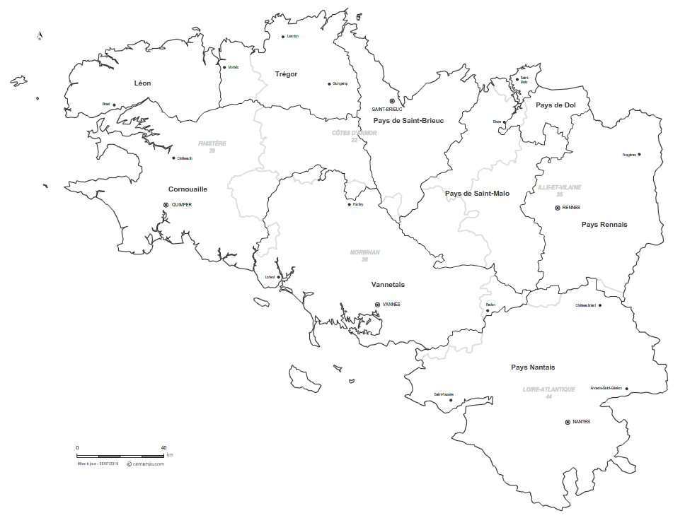
Customizable vector map of the historical countries of Brittany (France).
Modifiable base map of the 9 Historic Breton Countries:
- French Cornwall,
- Leon,
- The Land of Dol,
- The Land of Nantes,
- Rennes Country
- The Country of Saint-Brieuc,
- The Country of Saint-Malo,
- Trégor,
- The Vannesian,
This map comes in 5 different file formats, Illustrator in layers for infographics, SVG, PDF for large format printing, Powerpoint for office and high resolution Jpeg.
This download contains the map of Bretagne in 5 different file formats : Illustrator, Svg, Pdf, Jpg, Powerpoint,
tags Bretagne,map,pays,tradition,vector
