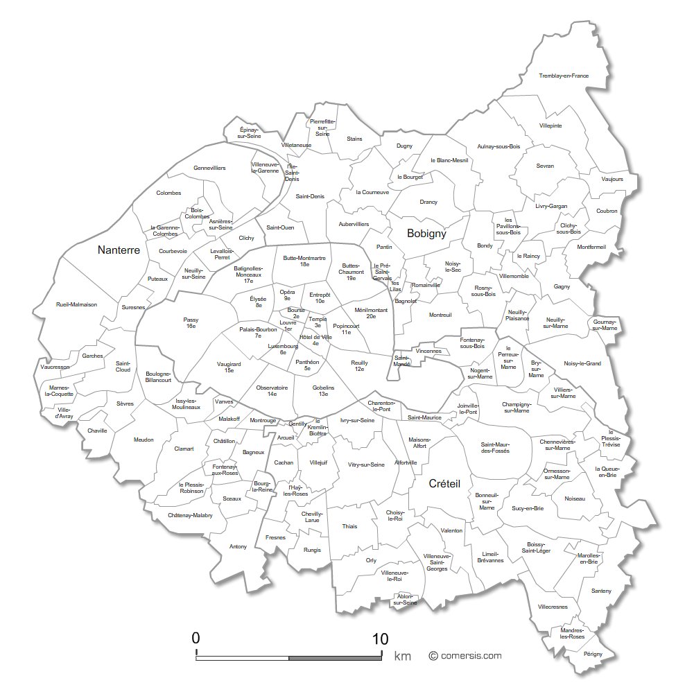
Customizable base map of the inner suburbs of Paris with municipalities names.
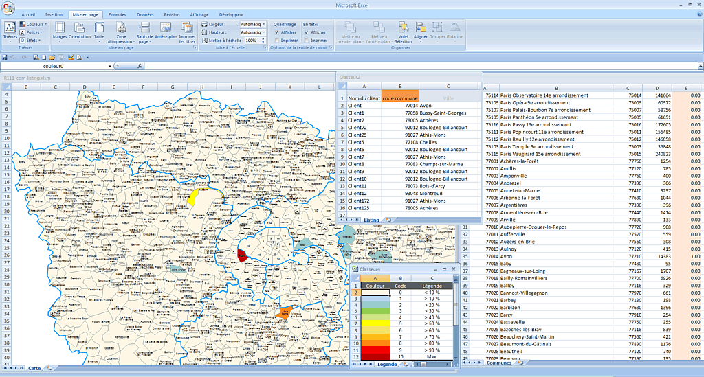
Excel choropleth map of the municipalities of Ile-de-France (PARIS) with automatic coloration according to your data.
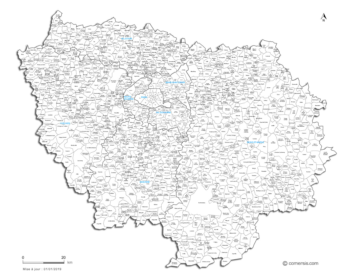
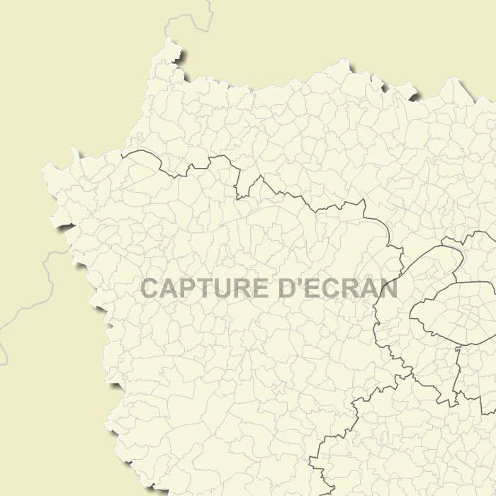
Illustrator, Acrobat PDF, et Scalable Vector Graphic SVG Ile de France communities vector map with full names.
Free vector flash map of Ile de France - Paris region. WMF and EMF map file.
France department
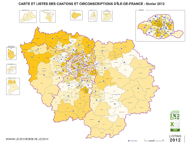
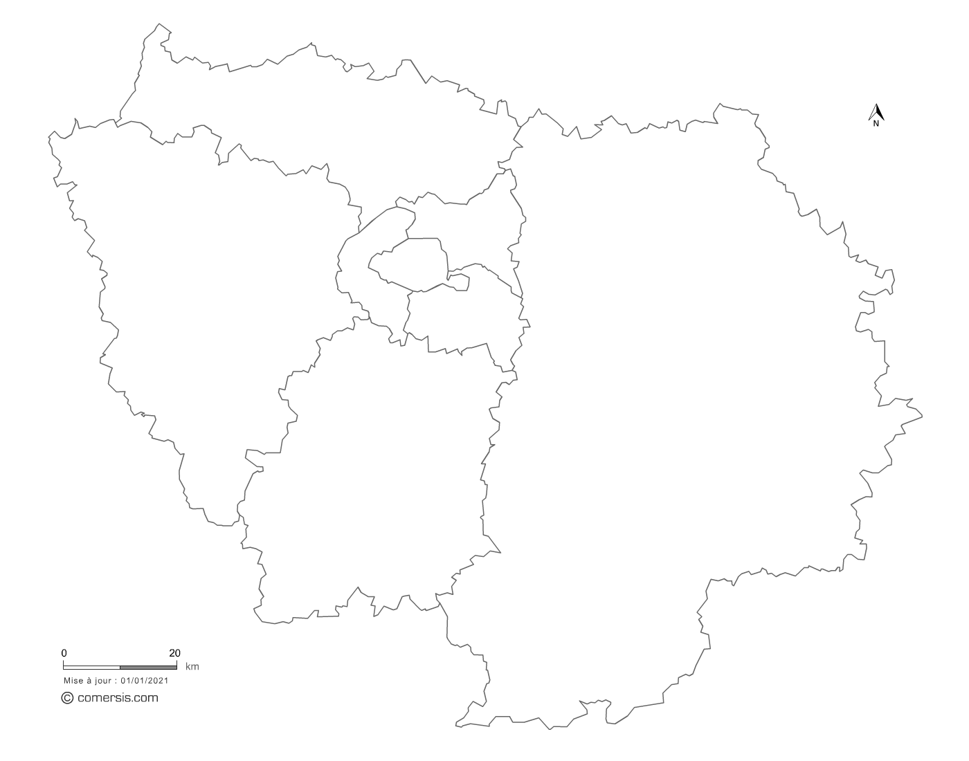
Editable counties map of Île-de-France
Illustrator, Eps, Pdf et Svg.
With full of Île-de-France cantons.
Updated feb. 2017.