Editable cities map of Ille-et-Vilaine - France
Illustrator, EPS, PDF and SVG ready to use files.
Supplied with with a complete list and zipcodes of Ille-et-Vilaine municipalities (Excel).

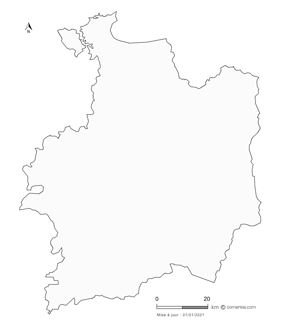
Editable counties map of Ille-et-Vilaine
Office Excel and Word ready to use sheets.
With full names.
Updated march 2014.
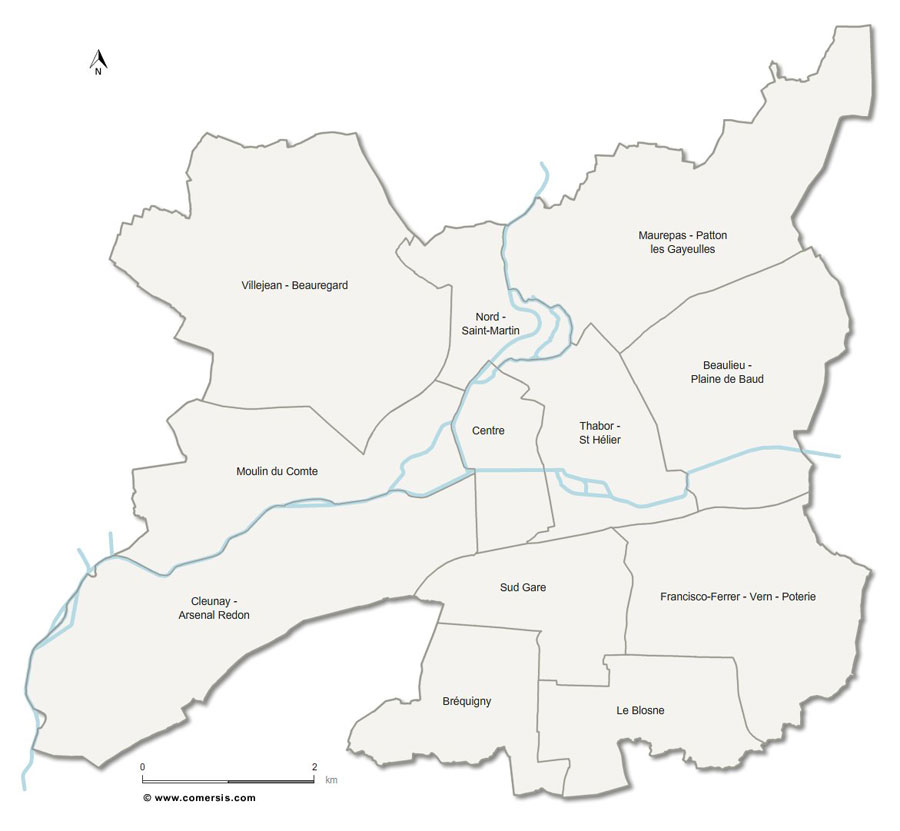
map of Rennes metropolis with editable vector formats Illustrator in layers, EPS in layers, Layered PDF and SVG.
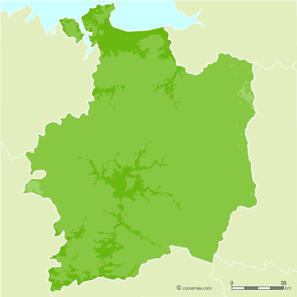
Free vector flash map of Ille et Vilaine department. Eps, Swf and Svg map file.
France department
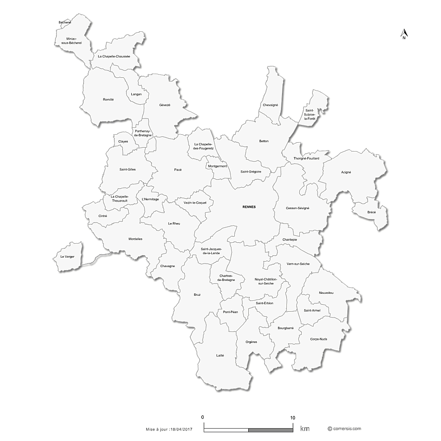
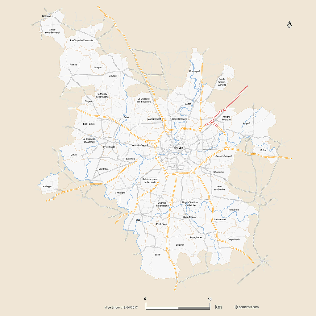
Customizable vector map of the 43 municipalities of the Metropole of Rennes.
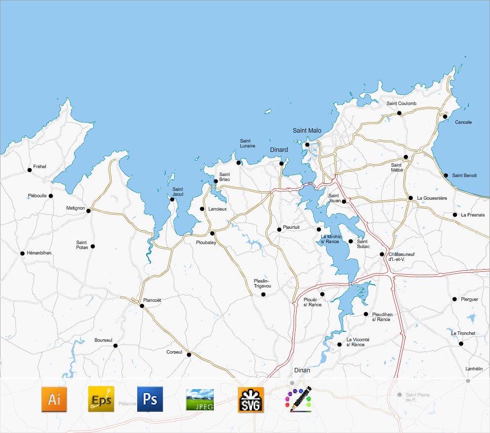
Coastline Map and road networks of the Emerald Coast in layers, from the Cap Frehel to Cancale.