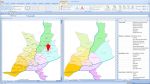
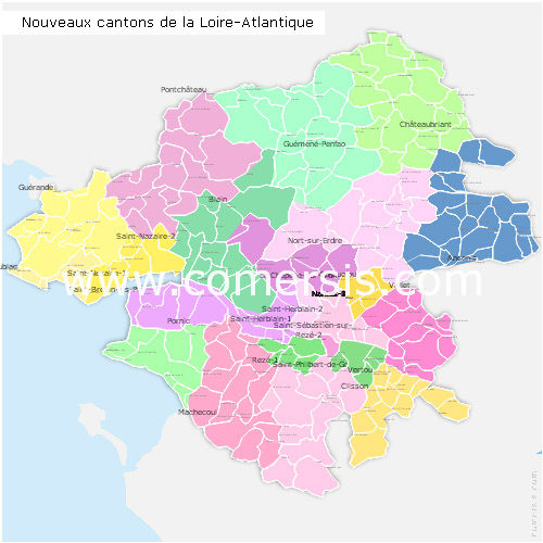
Editable counties map of Loire-Atlantique
Office Excel and Word ready to use sheets.
With full names.
Updated march 2014.
 click on the map to enlarge
The files contained in this download
 Editable Loire-Atlantique counties map with names ( France ) for Word and Excel.
 Excel-2003 Loire-Atlantique counties map with names ( France ) for Word and Excel.
 Excel-2007 Loire-Atlantique counties map with names ( France ) for Word and Excel.
 Word-2003 Loire-Atlantique counties map with names ( France ) for Word and Excel.
 Word-2007 Loire-Atlantique counties map with names ( France ) for Word and Excel.