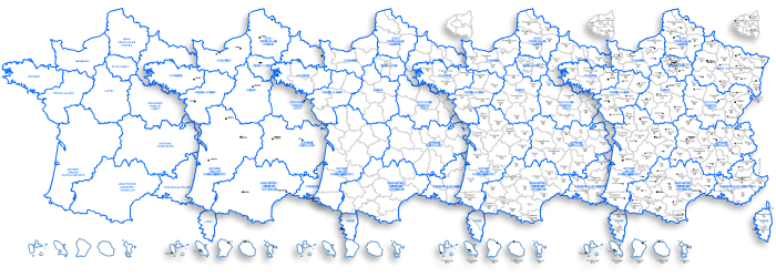
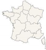
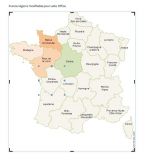
Map set of the new regions, departments, head towns of France ready to change for ms office Word®, Excel® and PowerPoint®.
 click on the map to enlarge
Map set of the new regions, departments, head towns of France ready to change for ms office Word®, Excel® and PowerPoint®.
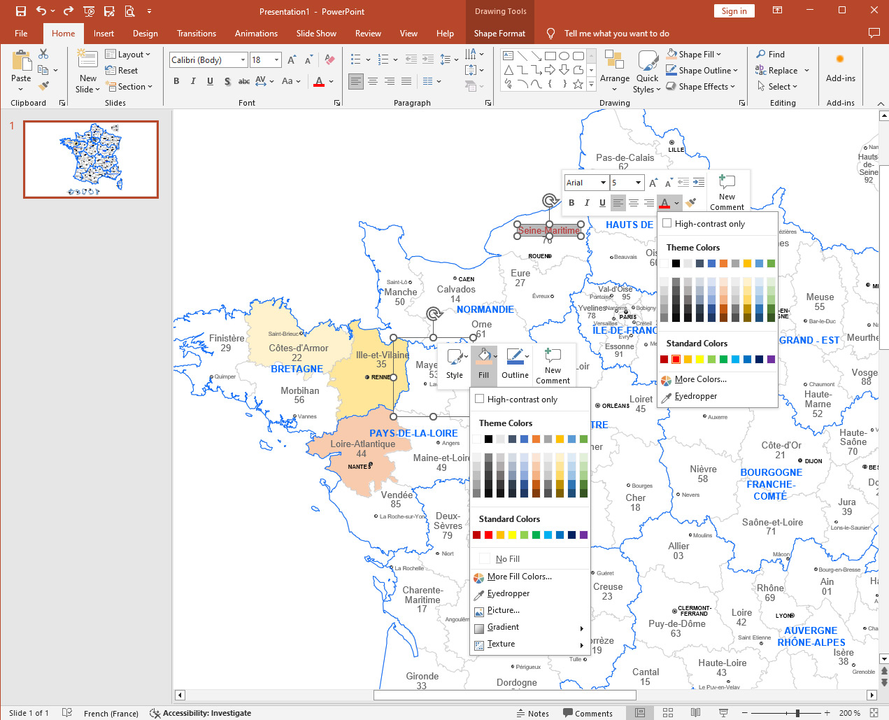
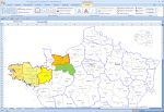
click on the map to enlargeColor your maps, add your notes, information and graphics on your computer with through editable maps for Microsoft Office®.
Their vector format can be crop, resize, colored and print in any size without loss of quality.
From a simple mouse click, select your geographical area and change the size, background color and borders, text, captions ...
Share, print, and export those cards without wasting time drawing them.
5 maps pack :
tags France,2017,regions,departements,towns,Execl,Word,Powerpoint,map
 Editable France subdivisions map for Excel, Word and Powerpoint
 Excel France subdivisions map for Excel, Word and Powerpoint
 Word France subdivisions map for Excel, Word and Powerpoint
 Powerpoint France subdivisions map for Excel, Word and Powerpoint