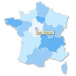
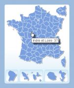
France departements interactive map


France departements interactive mapclick on the map to enlarge

Presentation

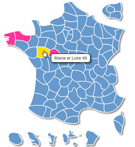
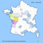
New interactive and customizable maps using Javascript for interactivity and SVG (Scalable Vector Graphics) for mapping were created to replace the old maps using Flash ® technology.

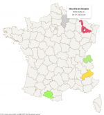
Editable parameters of this map:

  • Map size (dimensions in pixels).
  • Background color (default color).
  • Color contours.
  • Color of each department.
  • Color non-active departments.
  • Text bubble-info.
  • Link each department.
  • Target links (new window, top frame ...).

Note: the url link can also be a script call, e-mail address or a file to download.

Info bubble and the board layout is managed by a CSS style.

This is also available in Joomla 3 module and WordPress plugin.

See a demo of the interactive SVG map>


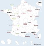
tags Svg,Raphael,Javascript,France,Departements,Dom
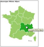
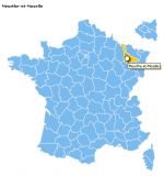


See also


Interactive point locator Map of France

map-of-Interactive point locator Map of France

Organize your points on this map of France through the intuitive and complete management. Source files provided. You can create your own icons and points of interest ... Unlimited number of points
Free HTML interactive map of france

map-of-Free HTML interactive map of france

Free clickable map of France no database, configurable as needed. Html 5 Compatible Chrome, Firefox, Internet Explorer 9 and +, Safari, Opera.
Html javascript interactive map

map-of-Html javascript interactive map

HTML - javascript map with rollout effects. Each province can be link to a distinct URL, receive a distinct color and legend... For static or dynamic web-site (PHP,ASP...)

Test an example of these javascript maps

Add clickable linked spot on your maps

map-of-Add clickable linked spot on your maps

This script allows you to add clickable html links on the map or image of your choice.

Quotation

Use our form for your free quote requests of interactive maps or vector maps:

Request a quote map