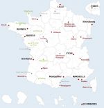
Interactive map with full administration for coloring, opening links on new pages, editing text.
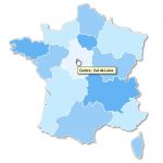
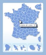
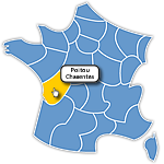
 click on the map to enlarge
Interactive map with full administration for coloring, opening links on new pages, editing text.
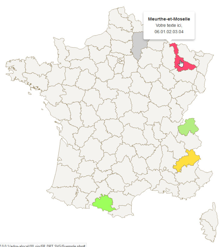
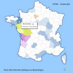
click on the map to enlargeThe map of the departments of France is developed in PHP and works with an Sql database. This script can be integrated on your web pages or be called in 'iframe' or pop-up.
An administration is provided to configure the general appearance of the map as well as each department: Color, text, URL link or script call.
tags
 Editable France districts responsive map
 Php France districts responsive map
 Sql France districts responsive map
 Svg France districts responsive map