maps
Select areas in United States (USA)
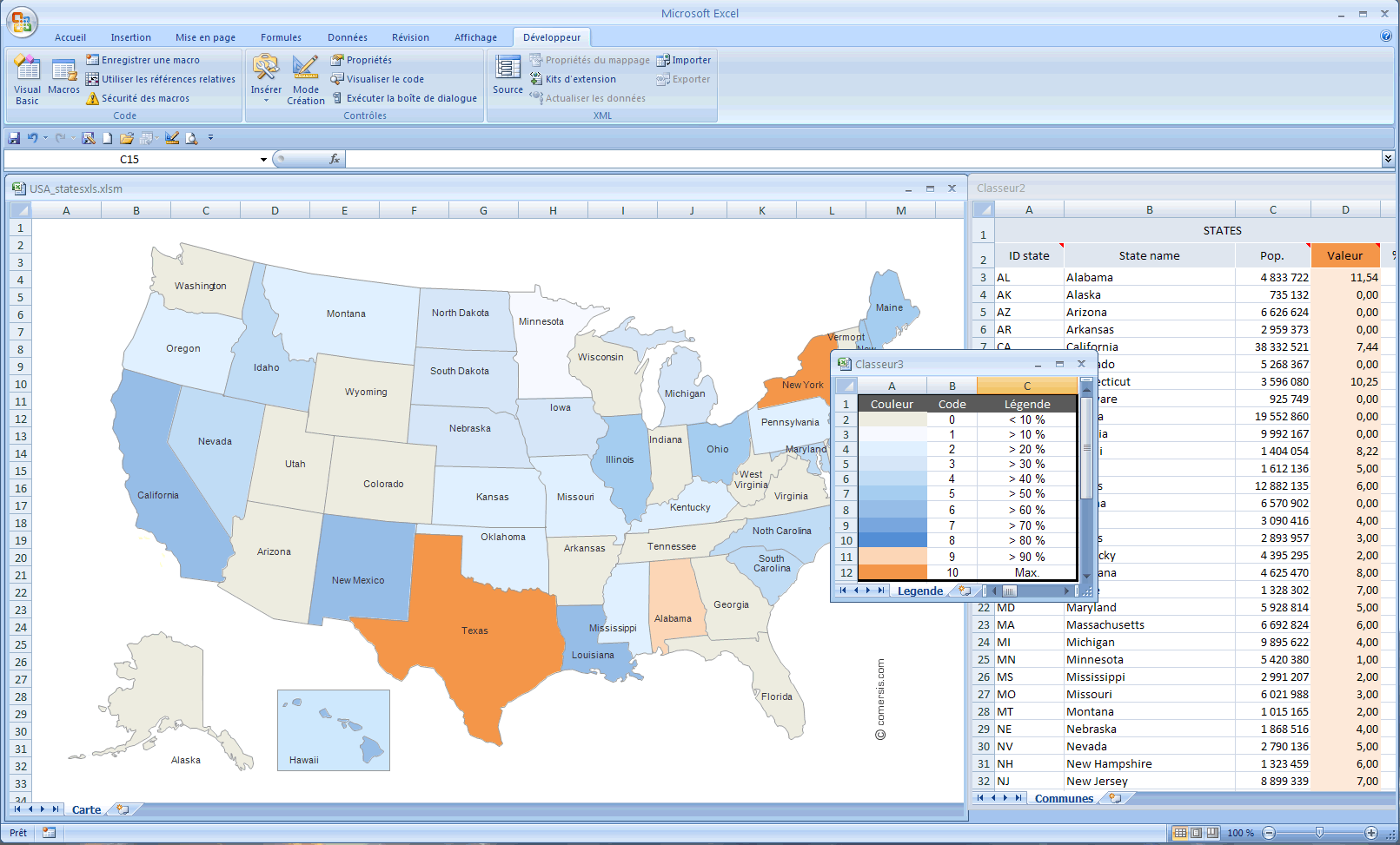
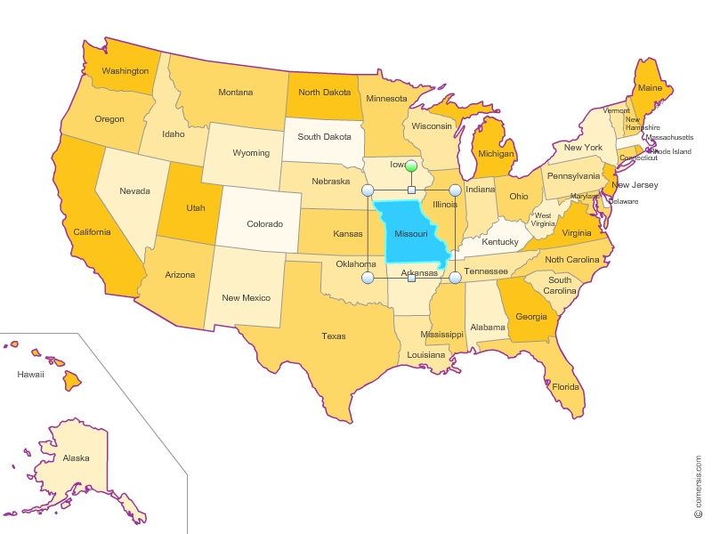
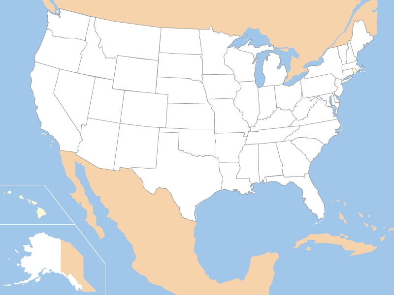
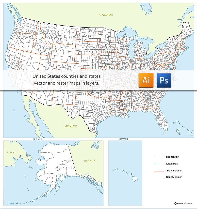
57 state
Alabama, Alaska, American Samoa (see also separate entry under AS), Arizona, Arkansas, California, Colorado, Connecticut, Delaware, District of Columbia, Florida, Georgia, Guam (see also separate entry under GU), Hawaii, Idaho, Illinois, Indiana, Iowa, Kansas, Kentucky, Louisiana, Maine, Maryland, Massachusetts, Michigan, Minnesota, Mississippi, Missouri, Montana, Nebraska, Nevada, New Hampshire, New Jersey, New Mexico, New York, North Carolina, North Dakota, Northern Mariana Islands (see also separate entry under MP), Ohio, Oklahoma, Oregon, Pennsylvania, Puerto Rico (see also separate entry under PR), Rhode Island, South Carolina, South Dakota, Tennessee, Texas, United States Minor Outlying Islands (see also separate entry under UM), Utah, Vermont, Virgin Islands, U.S. (see also separate entry under VI), Virginia, Washington, West Virginia, Wisconsin, Wyoming,See also in United States (USA):
 Alabama
 Alaska
 Arizona
 Arkansas
 California
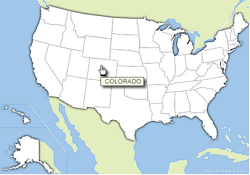
 Colorado
 Connecticut
 Delaware
 Florida
 Georgia
 Hawaii
 Idaho
Idaho Illinois
 Indiana
 Iowa
Iowa Kansas
 Kentucky
 Louisiana
 Maine
Maine Maryland
 Massachusetts
 Michigan
 Minnesota
 Mississippi
 Missouri
 Montana
 Nebraska
 Nevada
 New Hampshire
 New Jersey
 New Mexico
 New York
 North Carolina
 North Dakota
 Ohio
Ohio Oklahoma
 Oregon
 Pennsylvania
 Rhode Island
 South Carolina
 South Dakota
 Tennessee
 Texas
Texas Utah
Utah Vermont
 Virginia
 Washington
 West Virginia
 Wisconsin
 Wyoming