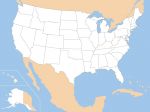
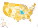
click on the map to enlarge
Clickable map of US states build in HTML, with area href tags, ready to use. Just copy paste the source code and edit your own links.
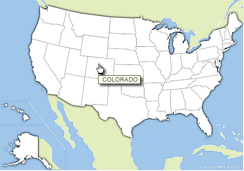
click on the map to enlarge
Clickable map of US states build in HTML, with area href tags, ready to use. Just copy paste the source code and edit your own links.
Comersis.com website
29630 Plougasnou
Tél.: (33).2 98 15 70 81
New opening hours :
Tuesday to Friday from 09h30 to 12h30
Siret :387 676 828
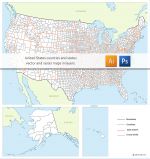
 Download this map
 Html
Html Png
Png