maps
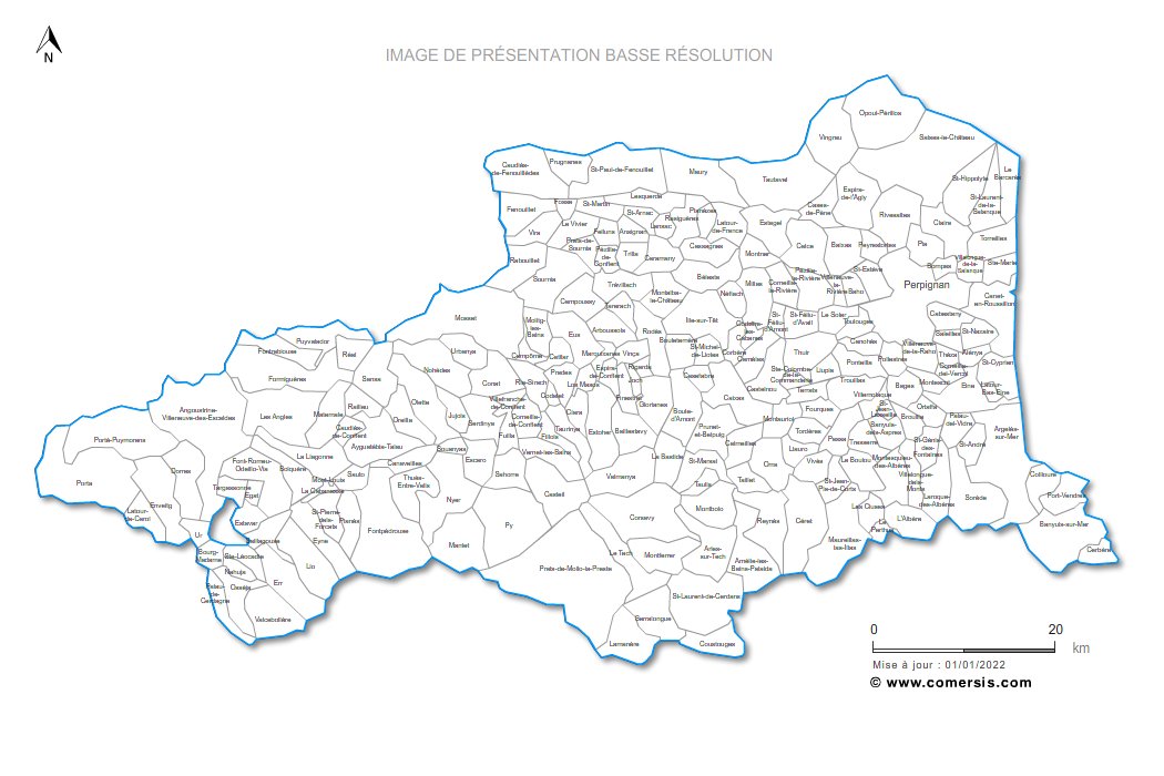
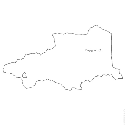
Select areas in Pyrénées-Orientales
Languedoc-Roussillon
Ariège
Aude
Aveyron
Gard
Gers
Haute-Garonne
Hautes-Pyrénées
Hérault
Lot
Lozère
Midi-Pyrénées
Tarn
Tarn-et-Garonne

 Languedoc-Roussillon
 Ariège
 Midi-Pyrénées