Loire river map


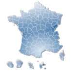
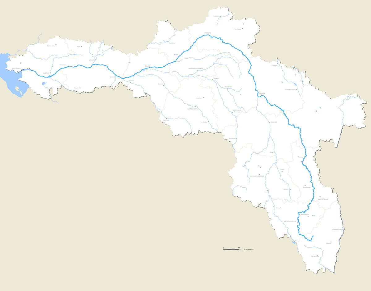
Vector editable map of the whole course of the river La Loire with crossed departmental boundaries and major cities.

Loire river mapclick on the map to enlarge

Presentation

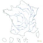
Customizable map of the complete course of the Loire (French River) and its main affluents.

File in this download:
  • Illustrator map inlayers
  • Photoshop map in Layers
  • WMF map for Word, Excel and PowerPoint
  • SVG map for experts

    Also available with roads and road + terrain


tags Loire,fleuve,France,map,vector


See also


French departments blank map

map-of-French departments blank map

Vector french departments map , emf/wmf files.
France old regions vector map

map-of-France old regions vector map

Free blank map of France regions
French Regions and departments map

map-of-French Regions and departments map

Free vector map of France subdivisions
Stylized map of France by regions

map-of-Stylized map of France by regions

Vector map file illustrator, svg, psd
France border countries map

map-of-France border countries map

Customizable map of the countries bordering France.
Ancient cantons of France vector map

map-of-Ancient cantons of France vector map

Old townships named of France and overseas, vector map layers in Illustrator formats, EPS, PDF and SVG. Detail of the Paris region. Provided with the Excel and Csv listing of cantons of France (source: INSEE).

Quotation

Use our form for your free quote requests of interactive maps or vector maps:

Request a quote map