click on the map to enlarge
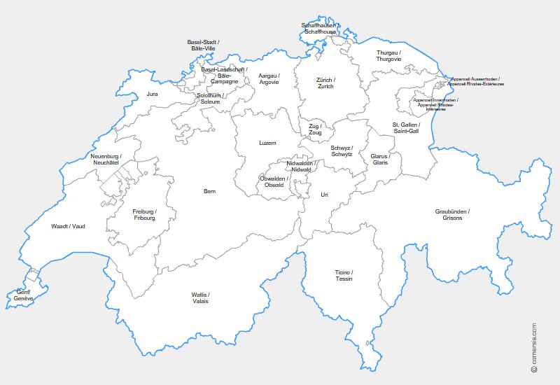
Editable map of Swiss kantons for Word and Powerpoint.
This download contains the map of Switzerland in 2 different file formats : Word, Powerpoint,
tags Suisse,Schweiz,kantone,Office,map
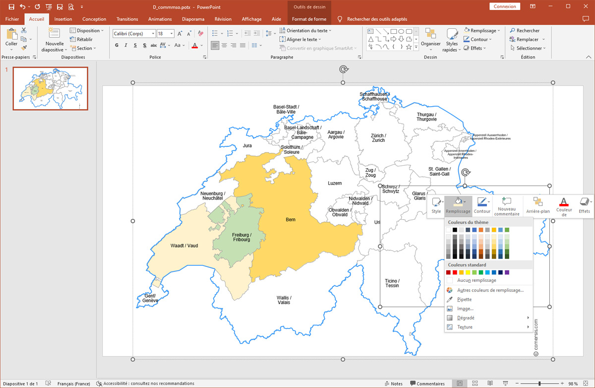
How to customize this map?
Tutorial :
Change dimensions, color different areas of the map, add text and icons to the map, print the map in large format...
read our step-by-step tutorial to customize your map.
 Editable
 Word
Word Powerpoint