click on the map to enlarge
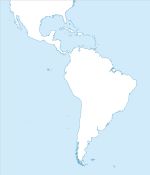
Editable map of South America's states, built in vector, ready to use for Excel, Powerpoint and Word.
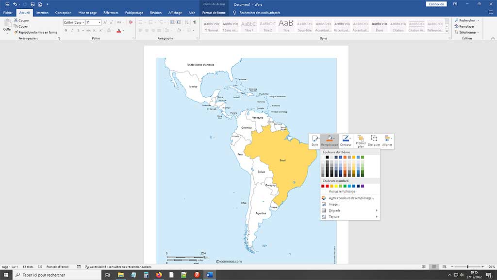
# Resizable : South America states map is drawn in vector wich allows a lossless image quality resize.
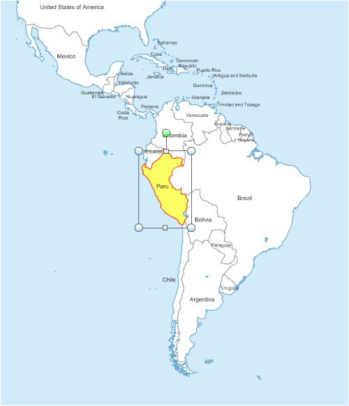
# Splittable : By a simple MAJ+CLIC, you can select one or several areas (states) of this map in order to create a detail map view (a kind of zoom) and resize it as you need.
# Colorable : Each division of this map (states) is independant. Borders, outlines, shapes, layout, texts can be modified *.
# Linkable : You can add hypertext links on text and areas.
# Exprotable : Once your map edited, you can save it as a PDF document, a simple image or a clickable HTML web map page*.
By default, maps are pre-colored in shades of orange or white. It's just a mouse click to change !
* Read our tutorials.
This download contains the map of South America in 3 different file formats : Excel, Word, Powerpoint,
tags South America,map,Excel,Word,Office
Tutorial :
Change dimensions, color different areas of the map, add text and icons to the map, print the map in large format...
read our step-by-step tutorial to customize your map.
 Editable
 Excel
Excel Word
Word Powerpoint