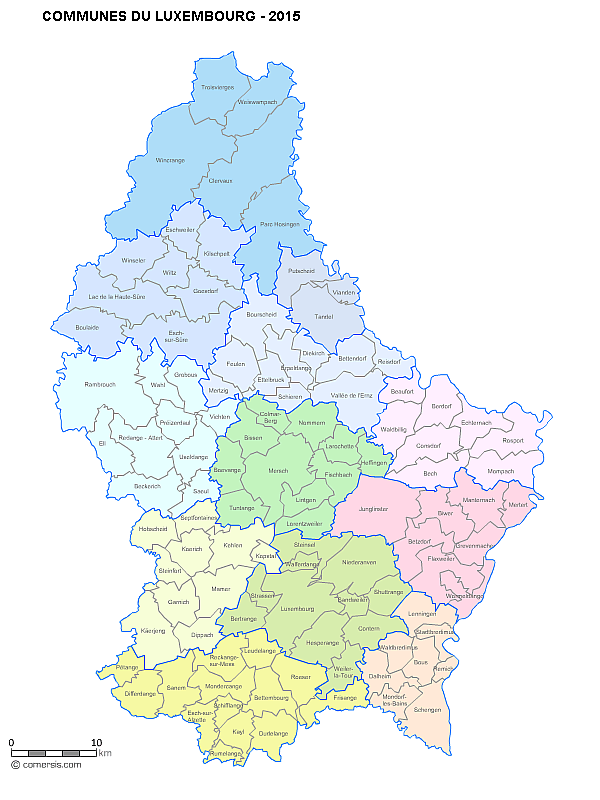
Vector Map of municipalities of Luxembourg grouped by cantons. 2017
The new map of the municipalities of Luxembourg takes into account the merger of 1st January 2017.
This map is delivered with a complete listing of cities | cantons | districts | population of Luxembourg.
This download contains the map of Luxembourg in 4 different file formats : Illustrator, Pdf, Svg, Wmf,
tags Luxembourg,villes,2017,cantons,map
