map

Louisiana counties editable map for Office


Louisiana counties editable map for Office
Louisiana counties editable map for Office Louisiana counties editable map for Office zoom

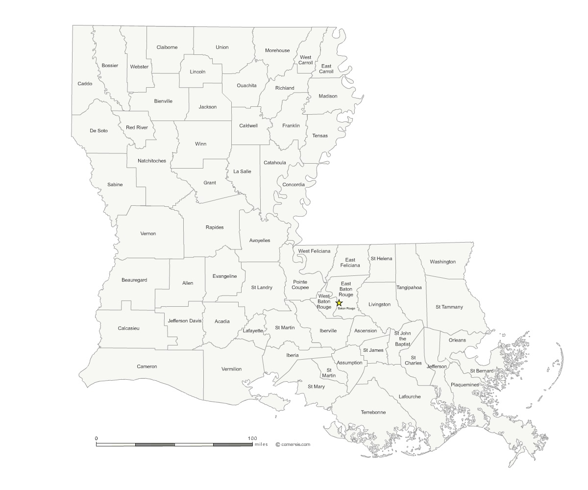
click on the map to enlarge

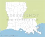
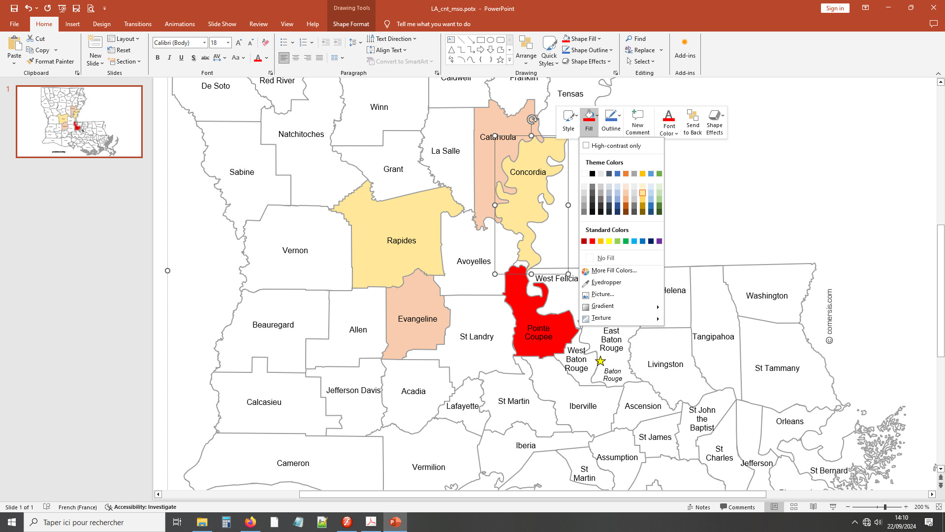
Customizable map of Louisiana state counties (USA) for Excel, Powerpoint or Word.

Color, label, annotate easily this ready-to-use map. Each county is an independently modifiable object, background color, outlines and text. Vector paths for printing at any size without loss of quality.

tags Louisiana,map,word,Excel,Powerpoint,editable,map


How to customize this map?

Tutorial :

Change dimensions, color different areas of the map, add text and icons to the map, print the map in large format...

read our step-by-step tutorial to customize your map.

Files format *

* Files contained in this download..


See also


Counties of Louisiana state vector map

Counties of Louisiana state vector map

Louisiana state map divided in counties . Illustrator, Flash and SVG Vector map
Free blank map of Louisiana US state

Free blank map of Louisiana US state

Vector map of Louisiana state with border states : Texas, Arkansas, Mississippi. Original size : 1200 x 1000 pixels. Zip content : Illustrator, Swf, Svg files. Free to use and download.
Louisiana state elevation map

Louisiana state elevation map

Elevation vector map of Louisiana state with lakes and rivers, borders states. Illustrator, Swf and SVG format.

Quotation

Use our form for your free quote requests of interactive maps or vector maps:

Request a quote map


Who is comersis.com

Comersis.com website
29630 Plougasnou
Tél.: (33).2 98 15 70 81

New opening hours :
Tuesday to Friday from 09h30 to 12h30
Siret :387 676 828