click on the map to enlarge
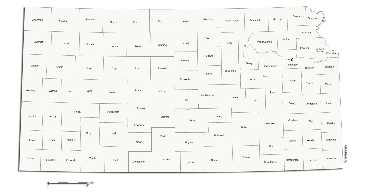
Map of the 105 counties of the state of Kansas - USA - customizable with LibreOffice or Powerpoint.
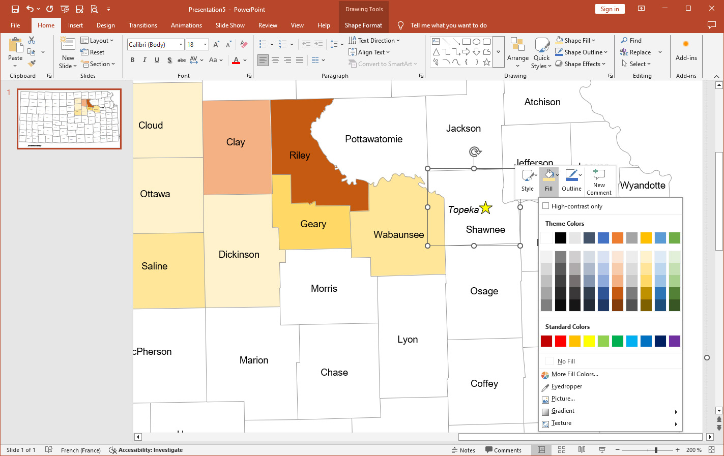
For sectorization, reporting, or localization, easily customize your maps with Comersis.com's Office solutions.
Color, annotate, and modify the text, style, color, and size. Add your legends, icons, images, and more.
Print in large format ( vector paths !)
No connection or subscription required.
This download contains the map of Kansas in 2 different file formats : Impress, Powerpoint,
tags Kansas,counties,map
How to customize this map?
Tutorial :
Change dimensions, color different areas of the map, add text and icons to the map, print the map in large format...
read our step-by-step tutorial to customize your map.
 Editable
 Impress
 Powerpoint