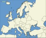
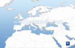
Editable Map of Europe borders with coutries names and capitals. EPS and SVG (inkscape free tool) editable map, non-vectorized texts.
 click on the map to enlarge
Editable Map of Europe borders with coutries names and capitals. EPS and SVG (inkscape free tool) editable map, non-vectorized texts.
click on the map to enlargetags
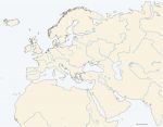
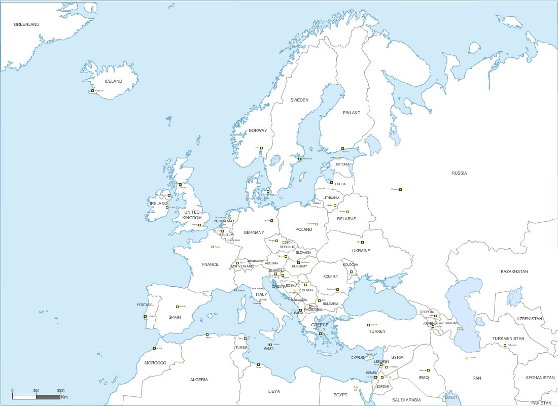
 Editable Vector map of Europe countries with capitals and names
 Eps Vector map of Europe countries with capitals and names
 Svg Vector map of Europe countries with capitals and names