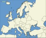
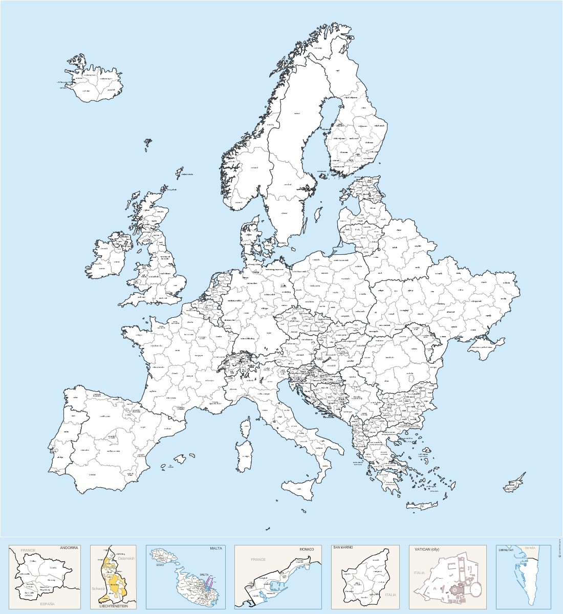
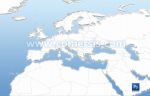
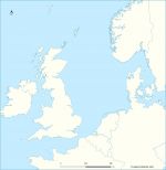
Map of Regions and provinces of Europe countries and micro-States with name.
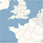
 click on the map to enlarge
Map of Regions and provinces of Europe countries and micro-States with name.
click on the map to enlargeVector map in Illustrator, Eps, Acrobat PDF and SVG (Inkscape).
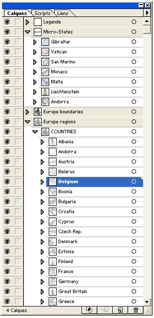
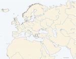
Each country is a separate object with its own layer.
Original size 2200 x 2400 pixels.
tags Europe,country,region,province,vector,map,micro-state
 Editable Europe countries regions named - vector map
 Illustrator Europe countries regions named - vector map
 Eps Europe countries regions named - vector map
 Pdf Europe countries regions named - vector map
 Svg Europe countries regions named - vector map