Customizable map of the 15 functional districts of Strasbourg. This base map is an editable work document with a choice of: Illustrator, Excel, Powerpoint, Word or Paint.
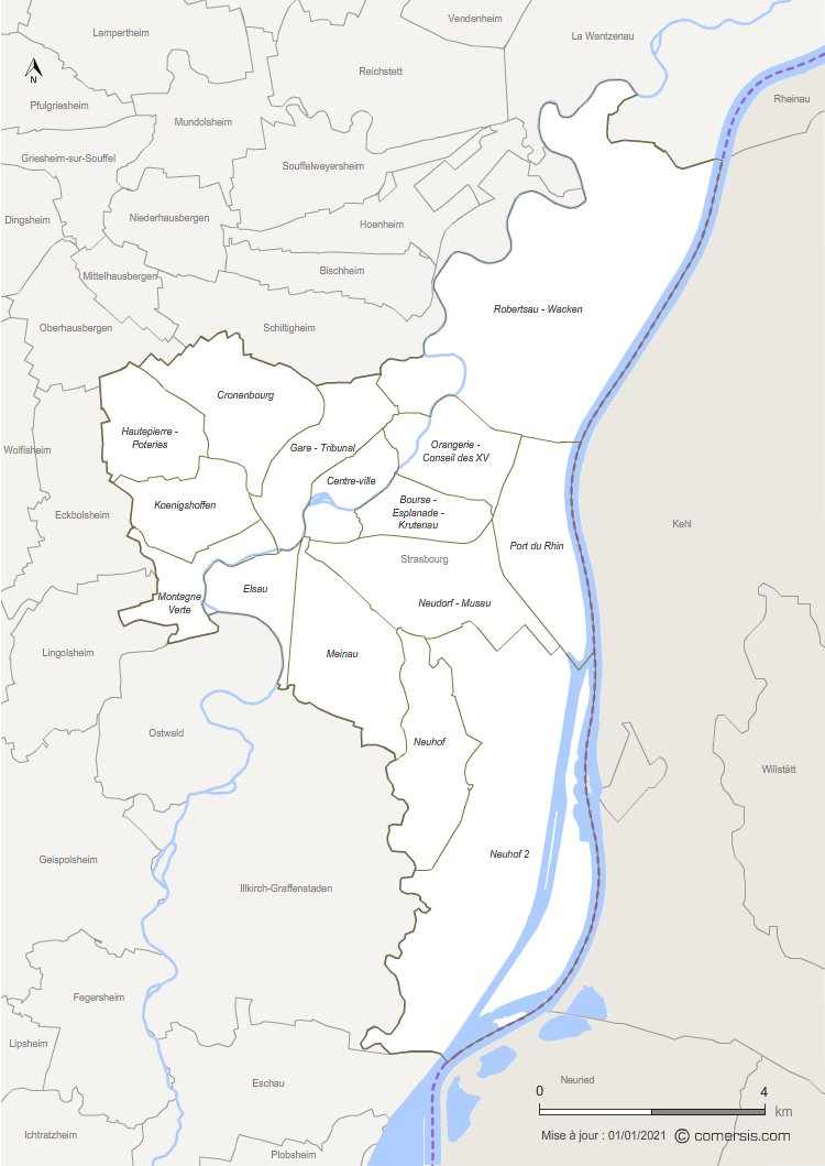 click on the map to enlarge
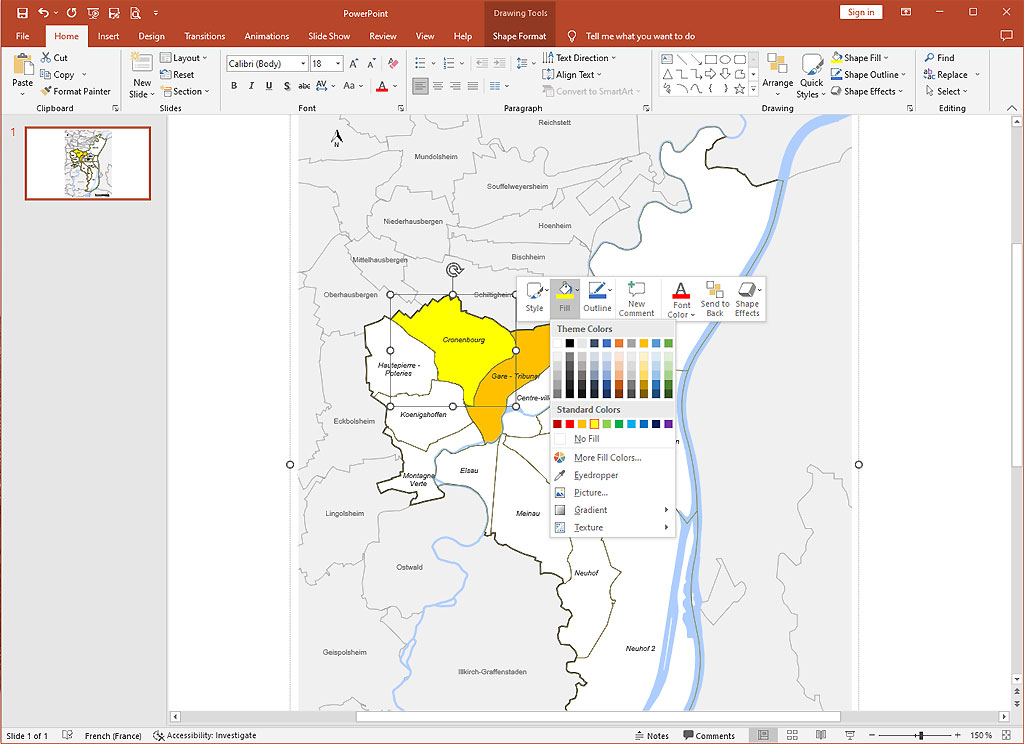
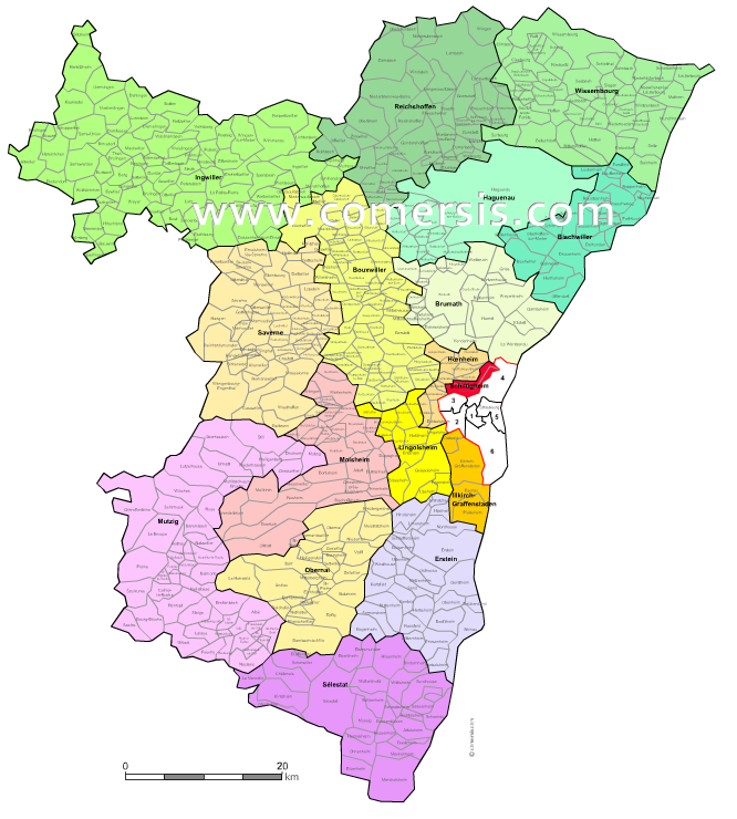
Customizable map of the 15 functional districts of Strasbourg. This base map is an editable work document with a choice of: Illustrator, Excel, Powerpoint, Word or Paint.
click on the map to enlarge tags Strasbourg,quartiers,carte,Bourse,Esplanade,Krutenau,Centre-ville,Gare,Tribunal,Orangerie,Conseil,XV,Cronenbourg,Hautepierre,Poteries,Koenigshoffen,Montagne Verte,Elsau,Meinau,Neudorf,Musau,Port,Rhin,Neuhof 1,Neuhof 2,Robertsau,Wacken
 Editable Strasbourg districts map
 Illustrator Strasbourg districts map
 Svg Strasbourg districts map
 Pdf Strasbourg districts map
 Excel Strasbourg districts map
 Powerpoint Strasbourg districts map
 Word Strasbourg districts map
 Jpg Strasbourg districts map