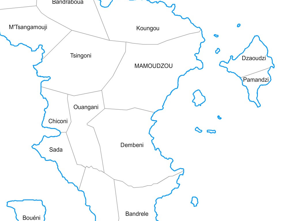
Mayotte municipalities vector map with names ( France ).

last update : november 16, 2023


Editable cities map of Mayotte - France

Illustrator, EPS, PDF and SVG ready to use files. Supplied with with a complete list and zipcodes of Mayotte municipalities (Excel).
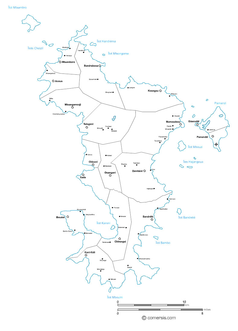
Mayotte municipalities vector map with names ( France ).click on the map to enlarge
Mayotte municipalities vector map with names ( France ). Mayotte municipalities vector map with names ( France ). 2

Presentation

  • Resizable : The map of Mayotte municipalities is drawn in vector wich allows a lossless image quality resize.
  • Splittable : You can easily select one or several areas (cities) of this map in order to create a detail map view (a kind of zoom) and resize it as you need.
  • Colorable : Each division of this map (municipalities) is independant. Borders, outlines, shapes, layout, texts can be modified.
  • Find all our Mayotte maps at : france.comersis.com > section : See all Mayotte maps


    [ Website in french ]


    tags communes,Mayotte,Départements d'Outre-Mer,carte,2017


    See also


    976 Mayotte french department vector map

    map-of-976 Mayotte french department vector map

    Free vector flash map of Mayotte department. WMF and EMF map file. France department
    Mayotte island relief and roads map

    map-of-Mayotte island relief and roads map

    Editable vector map of the roads, cities, rivers and relief of the island of Mayotte - France.

    Quotation

    Use our form for your free quote requests of interactive maps or vector maps:

    Request a quote map